MyTopo
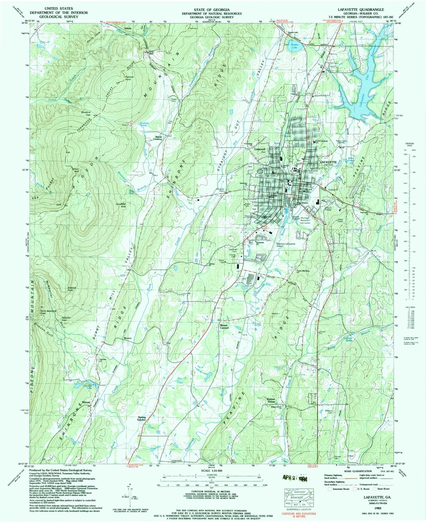
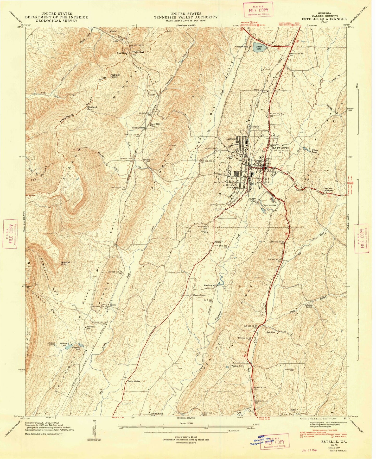
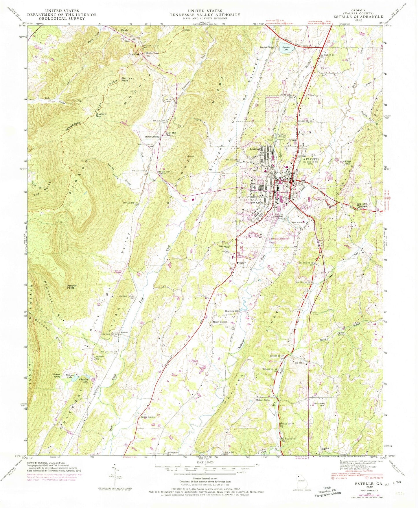
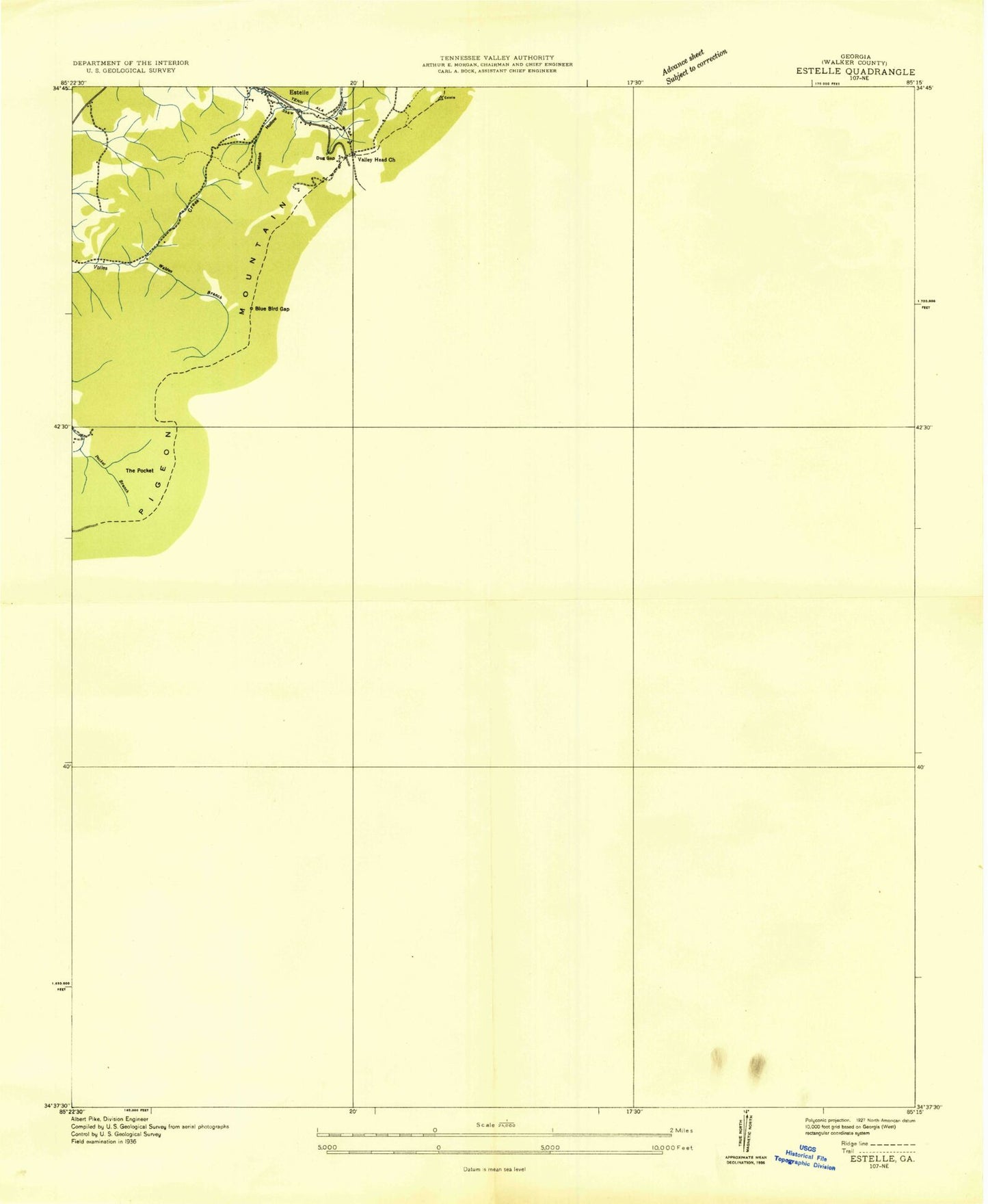
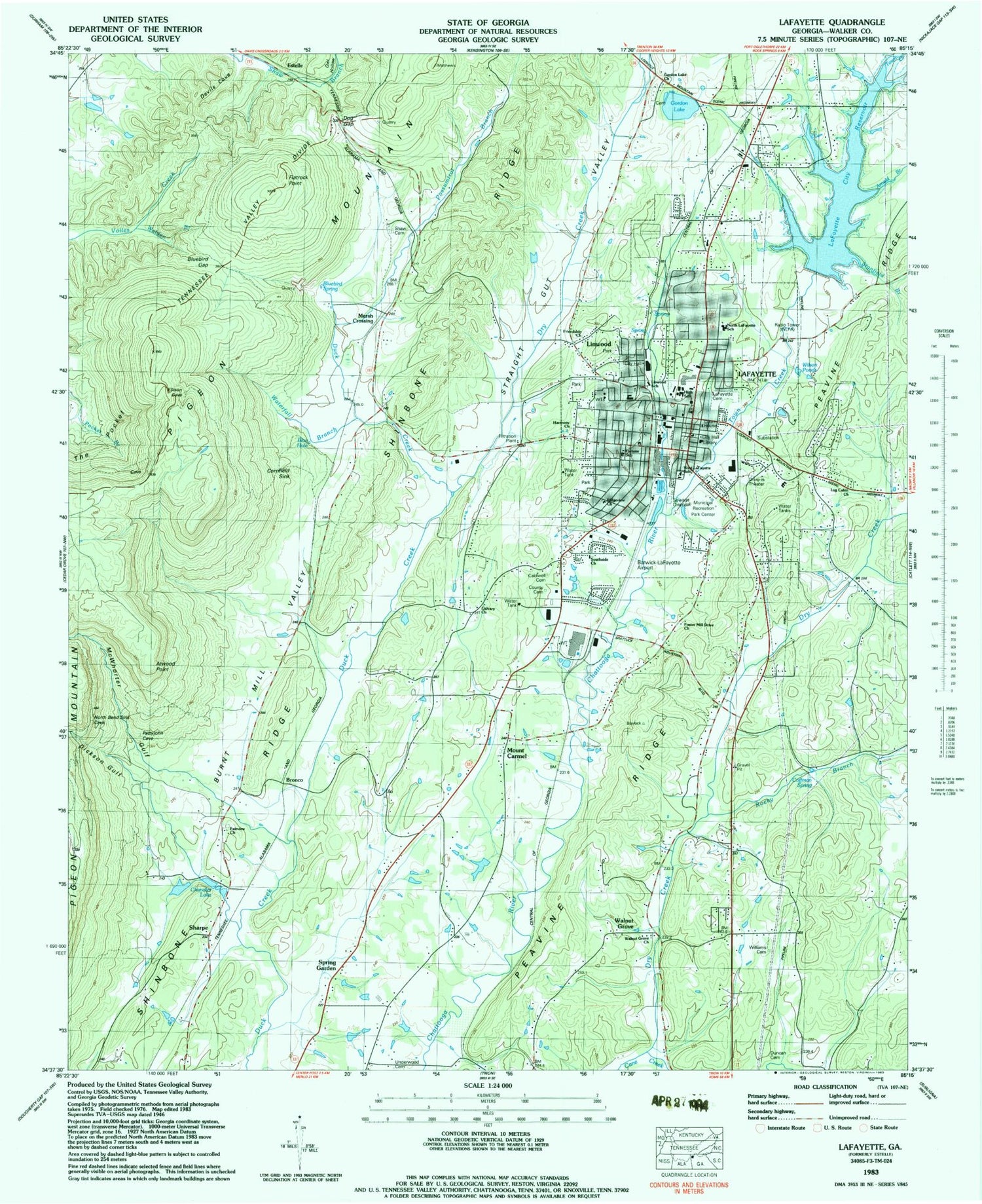
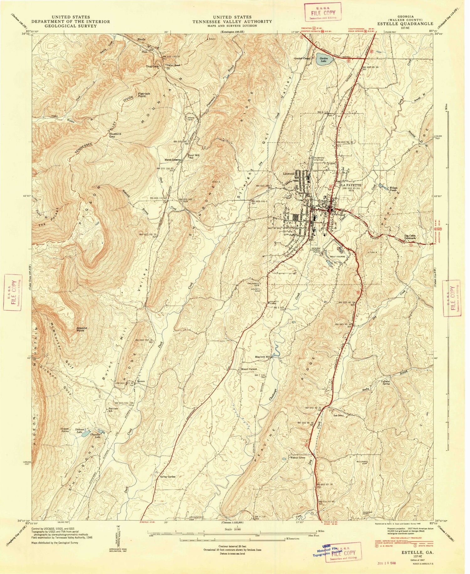
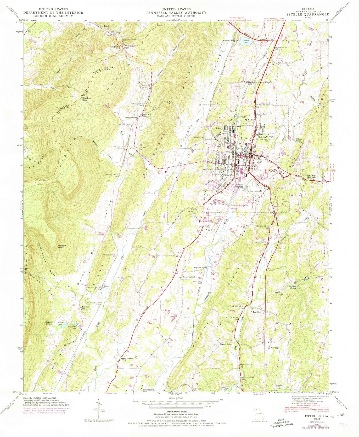
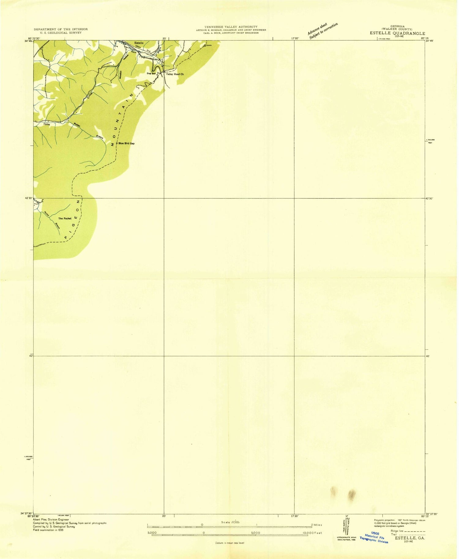
Classic USGS LaFayette Georgia 7.5'x7.5' Topo Map
Couldn't load pickup availability
Historical USGS topographic quad map of LaFayette in the state of Georgia. Map scale may vary for some years, but is generally around 1:24,000. Print size is approximately 24" x 27"
This quadrangle is in the following counties: Walker.
The map contains contour lines, roads, rivers, towns, and lakes. Printed on high-quality waterproof paper with UV fade-resistant inks, and shipped rolled.
Contains the following named places: Arnold Branch, Atwood Point, Barwick Lafayette Airport, Big Spring, Blaylock Mill, Blaylock Mill Pond, Bluebird Gap, Bronco, Burnt Mill School, Burnt Mill Valley, Buzzard Roost Spring, Caldwell Cemetery, Calvary Church, Chandler Lake, Chattooga Academy, Church of Christ, City of LaFayette, Coffman Spring, Cornfield Sink, Devils Cove, Dickson Creek, Dickson Gulf, Dickson Lake, Dickson Spring, Dogwood Circle, Dry Creek, Dug Gap, Duncan Cemetery, Estelle, Estelle School, Fairview Church, Fairview Heights, Fairview School, First Baptist Church, First Church of God, Flatrock Point, Fortune School, Foster Mill Drive Church, Friendship Church, Georgia State Patrol Troop A Post 41, Gilbert Elementary School, Gordon Chapel, Gordon Lake, Gordon Lake Church, Gordon Lake Dam, Guild, Harmony Church, Horse Lake Estates, La Fayette Post Office, LaFayette, LaFayette Academy, Lafayette Cemetery, LaFayette Church of Christ, LaFayette City Reservoir, LaFayette Division, LaFayette High School, LaFayette Jogging Trail, Lafayette Middle School, LaFayette Municipal Building, LaFayette Plaza Shopping Center, LaFayette Police Department, LaFayette-Walker County Library, Lee School, Linwood, Linwood School, Log Cabin Tabernacle, Lowell Green Recreation Area, Marsh Crossing, McWhorter Gulf, Meadowview, Mount Carmel, Mount Carmel Cemetery, Mount Carmel Methodist Church, Mount Carmel School, New Harvest Church, New Mission Church, North Lafayette Elementary School, Oak Park, Owl Hollow, Peavine Ridge, Pledger Parkway, Possumtrot Branch, Ridgeview Church, Rocky Branch, Sharpe, Shaw Cemetery, Shinbone Ridge, Skyline Heights, Spring Garden, Stanfield Branch, Straight Gut Valley, The Pocket, Town Creek, Towncreek Watershed Structure Number One Dam, Underwood Cemetery, Valley Head, Valley Head Church, Walden Branch, Walker County, Walker County Courthouse, Walker County Emergency Services Fire Station 15, Walker County Emergency Services Fire Station 16, Walker County Emergency Services Stations 11 and 21 Linwood, Walker County Jail, Walker County Quarry, Walker County Sheriff's Office, Walnut Grove, Walnut Grove Cemetery, Walnut Grove Church, Waterfall Branch, West LaFayette School, Williams Cemetery, Wilson Ponds, Winwood Forest, WQCH-AM (Lafayette)
