MyTopo
Classic USGS Lafayette Oklahoma 7.5'x7.5' Topo Map
Couldn't load pickup availability
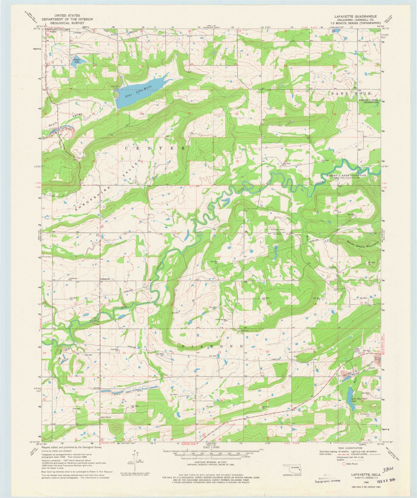
Historical USGS topographic quad map of Lafayette in the state of Oklahoma. Map scale may vary for some years, but is generally around 1:24,000. Print size is approximately 24" x 27"
This quadrangle is in the following counties: Haskell.
The map contains contour lines, roads, rivers, towns, and lakes. Printed on high-quality waterproof paper with UV fade-resistant inks, and shipped rolled.
Contains the following named places: Choctaw Mine, County District 5, Haskell County, Haskell County Sheriff's Office, John Wells Park, Kiamichi Technology Center Stigler, Lafayette, Lafayette Church, Lake John Wells, Lake John Wells Dam, Lone Star Steel Lake, McCurtain Division, McCurtain Indian Reservation, Mule Creek, Old Panther Cemetery, Robert Mitchell Lake, Robert Mitchell Lake Dam, Rose Hill Church, Shropshire Valley, Siloam Spring Church, Siloam Springs Cemetery, Southside Volunteer Fire Department, Stigler Dam, Stigler Lake, Township of Center