MyTopo
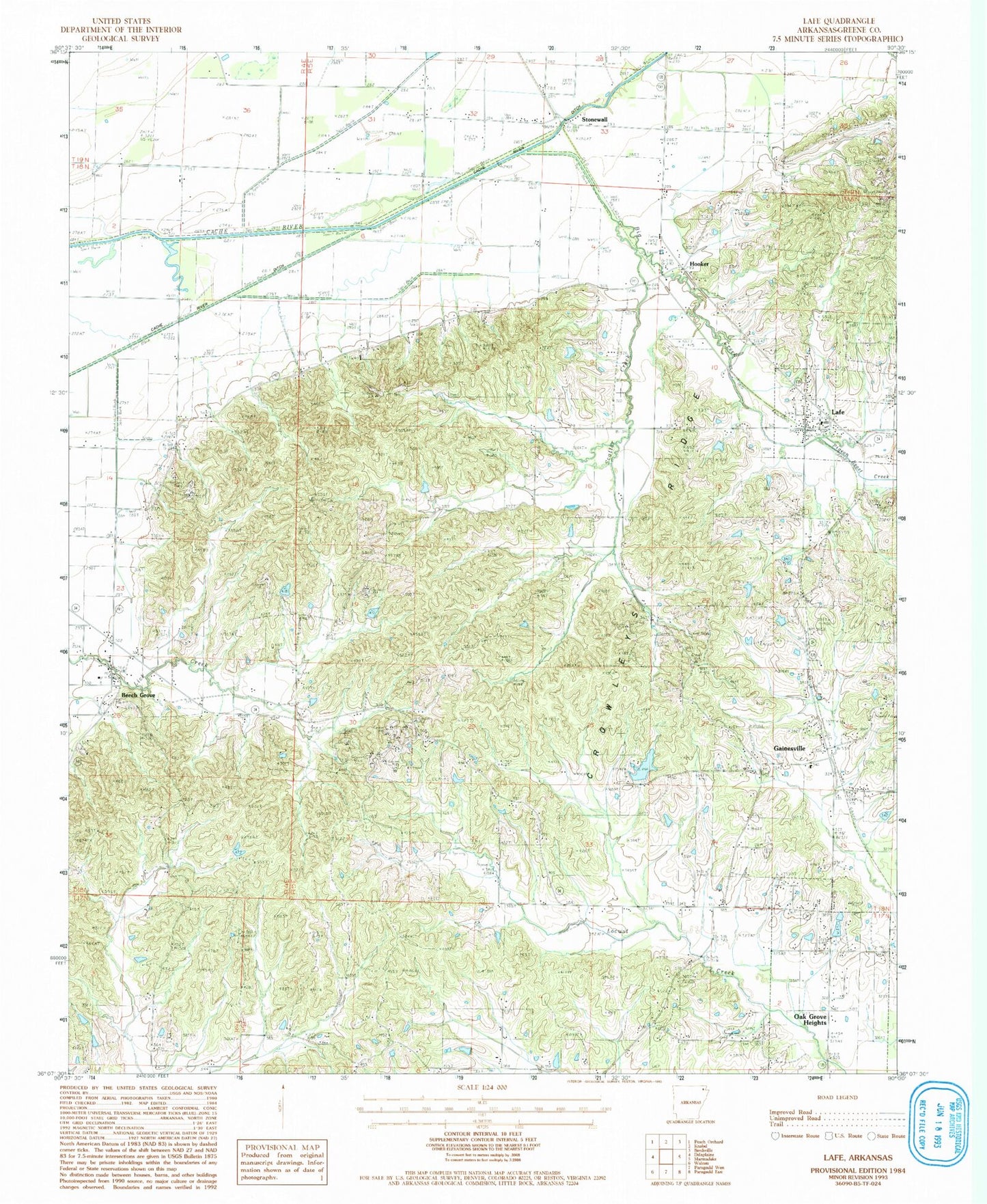
Classic USGS Lafe Arkansas 7.5'x7.5' Topo Map
Couldn't load pickup availability
Historical USGS topographic quad map of Lafe in the state of Arkansas. Map scale may vary for some years, but is generally around 1:24,000. Print size is approximately 24" x 27"
This quadrangle is in the following counties: Greene.
The map contains contour lines, roads, rivers, towns, and lakes. Printed on high-quality waterproof paper with UV fade-resistant inks, and shipped rolled.
Contains the following named places: Beech Grove, Beech Grove Cemetery, Beech Grove Methodist Church, Beech Grove Post Office, Big Creek, Big Creek Baptist Church, Crowleys Ridge, Epsaba Baptist Church, Epsaba School, Evangelical Friendship Church, Gainesville, Gainesville Cemetery, Gainesville Cumberland Presbyterian Church, Gainesville United Methodist Church, Gum Slough, Hillside, Hooker, Lafe, Lafe Baptist Church, Lafe Cemetery, Lafe Elementary School, Lafe Volunteer Fire Department, Lateral Number 1, Lateral Number 13, Lateral Number 2, New Home School, Pigeon Roost Creek, Saint Johns Cemetery, Saint Johns Evangelical Lutheran Church, Scatter Creek, Scatter Creek Methodist Church, Stonewall, Stonewall Post Office, Town of Lafe, Town of Oak Grove Heights, Township of Breckenridge, Township of Campground, Township of Crowley, Township of Union, Union Hill School, W H Spence Lake, W H Spence Lake Dam