MyTopo
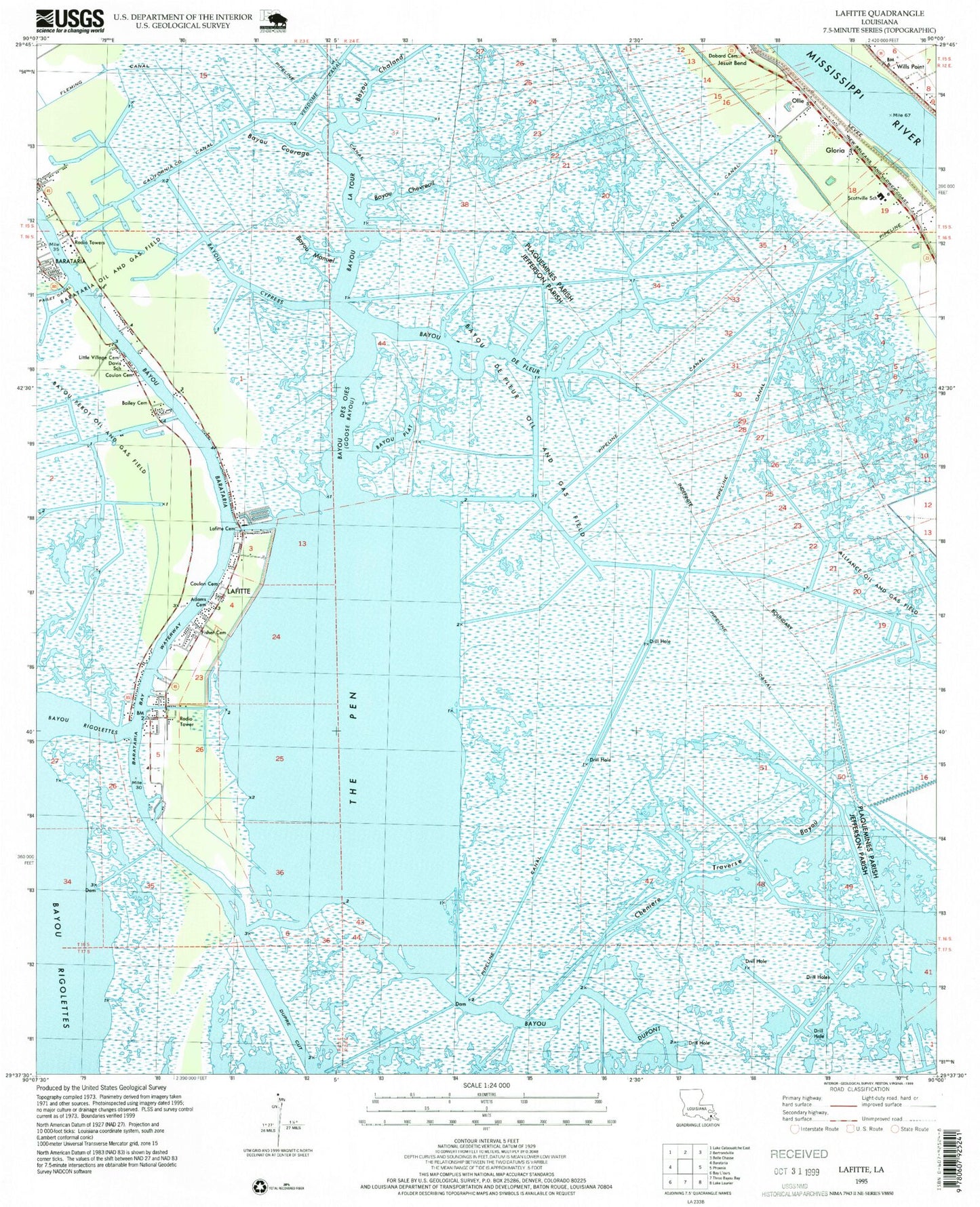
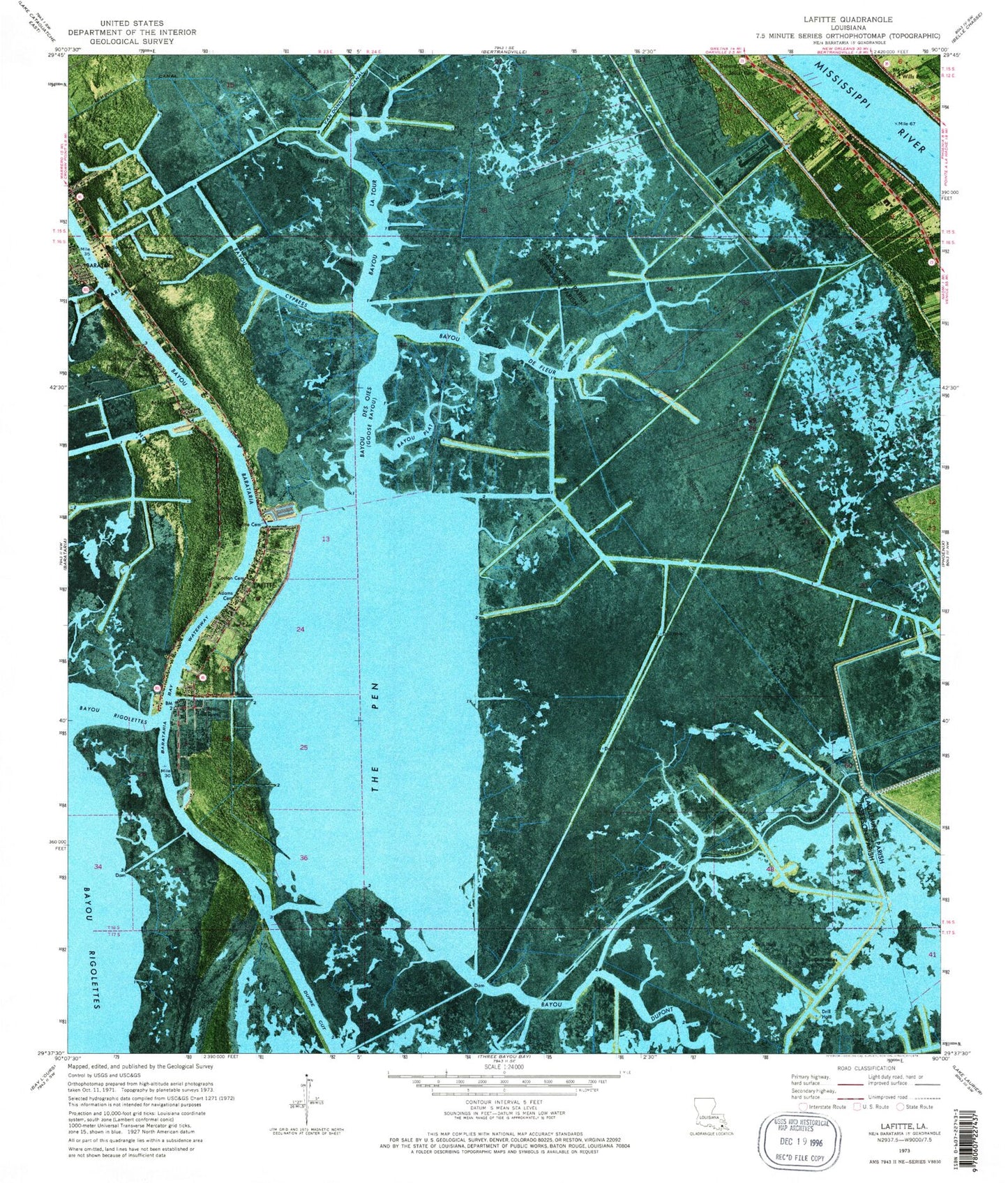
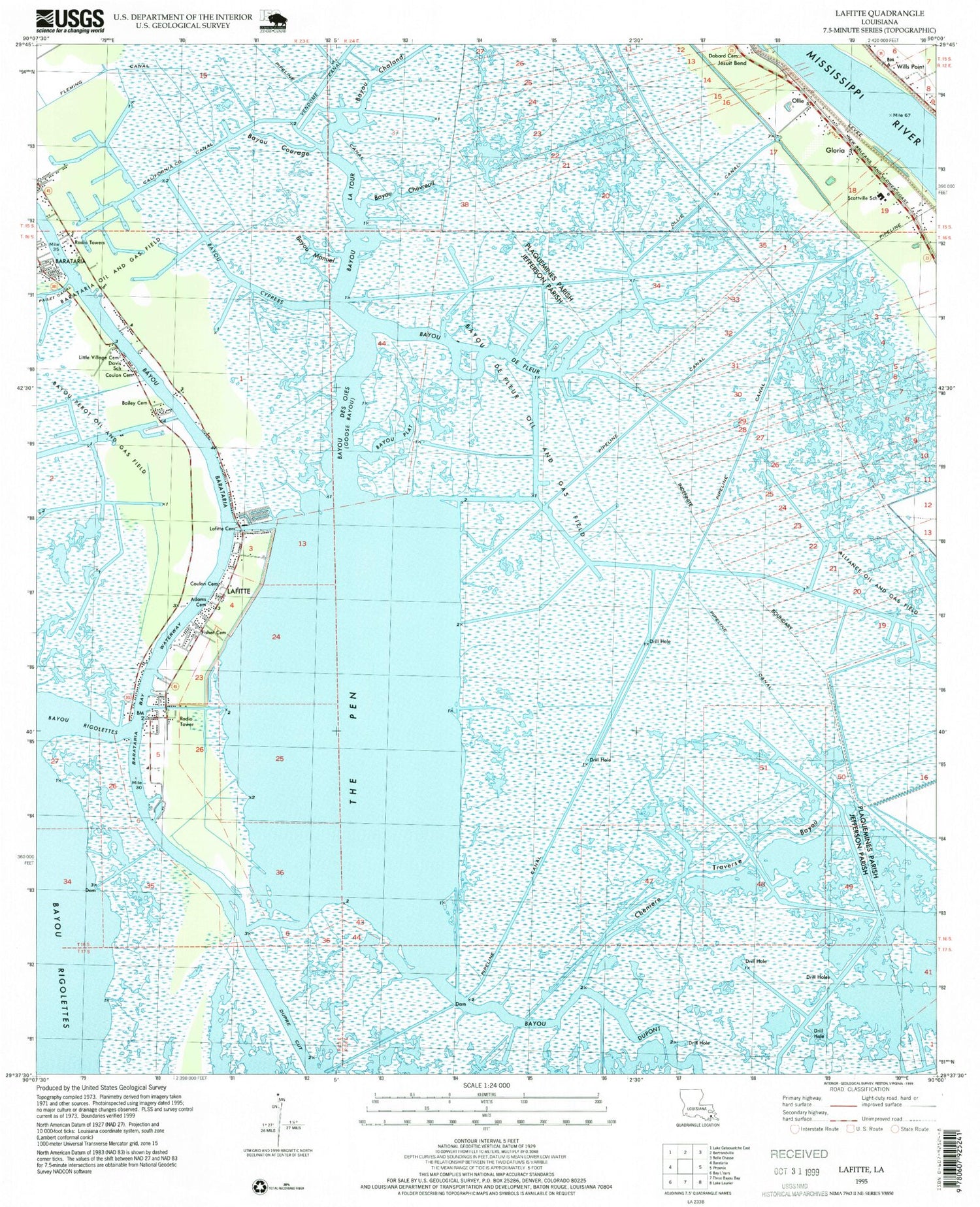
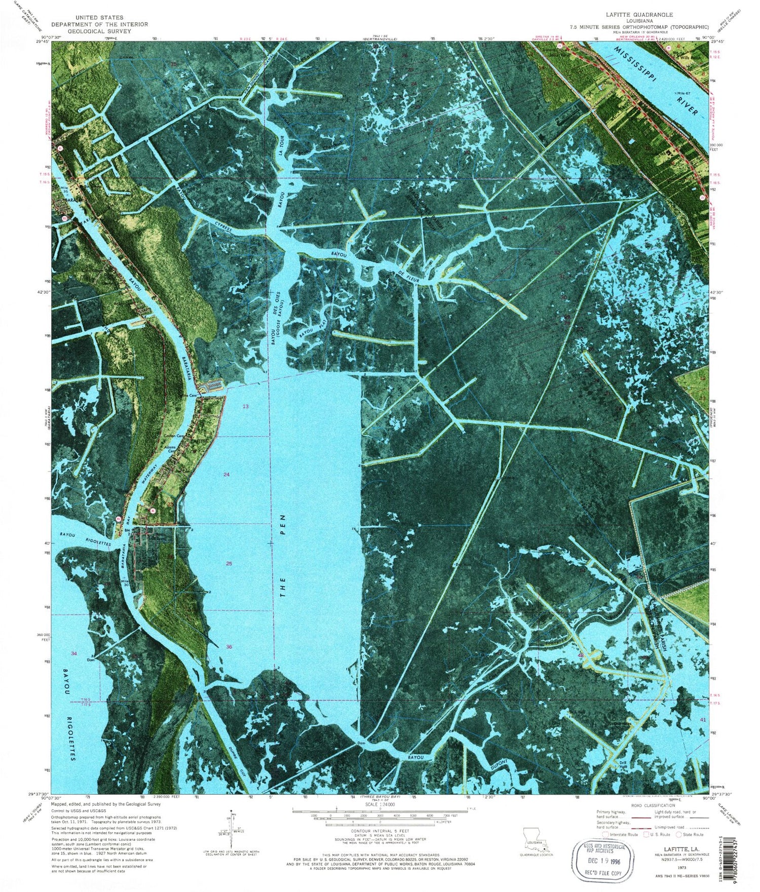
Classic USGS Lafitte Louisiana 7.5'x7.5' Topo Map
Couldn't load pickup availability
Historical USGS topographic quad map of Lafitte in the state of Louisiana. Map scale may vary for some years, but is generally around 1:24,000. Print size is approximately 24" x 27"
This quadrangle is in the following counties: Jefferson, Plaquemines.
The map contains contour lines, roads, rivers, towns, and lakes. Printed on high-quality waterproof paper with UV fade-resistant inks, and shipped rolled.
Contains the following named places: Adams Cemetery, Alliance Oil and Gas Field, Bailey Cemetery, Barataria, Barataria Census Designated Place, Barataria Oil and Gas Field, Barataria Post Office, Bayou Chaland, Bayou Chevreuil, Bayou Courage, Bayou Cypress, Bayou de Fleur, Bayou De Fleur Oil and Gas Field, Bayou Des Oies, Bayou La Tour, Bayou Manuel, Bayou Perot Oil and Gas Field, Bayou Plat, Belle Chasse Middle School, California County Canal, Cheniere Traverse Bayou, Coulon Cemetery, Davis School, Dobard Cemetery, Fisher Cemetery, Fleming Canal, Gloria, Jefferson Parish, Jesuit Bend, Jesuit Bend Revetment, Jonathan Davis Water Treatment Facility, Lafitte, Lafitte Cemetery, Lafitte Census Designated Place, Little Village Cemetery, Ollie, Ollie Canal, Parish Governing Authority District 5, Plaquemines Parish Fire District 2 Belle Chasse Volunteer Fire Department Station 3, Sacred Heart Church, Scottville School, South Bayou De Fleur Oil and Gas Field, Star, The Pen, Town of Jean Lafitte, Vendome Canal, Ward Six, Wills Point, ZIP Codes: 70036, 70067


