MyTopo
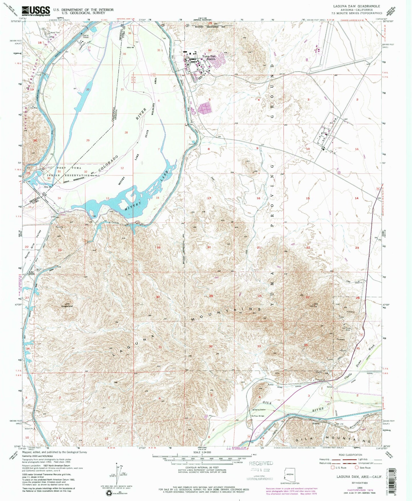
Classic USGS Laguna Dam Arizona 7.5'x7.5' Topo Map
Couldn't load pickup availability
Historical USGS topographic quad map of Laguna Dam in the states of Arizona, California. Typical map scale is 1:24,000, but may vary for certain years, if available. Print size: 24" x 27"
This quadrangle is in the following counties: Imperial, Yuma.
The map contains contour lines, roads, rivers, towns, and lakes. Printed on high-quality waterproof paper with UV fade-resistant inks, and shipped rolled.
Contains the following named places: Castle Dome Wash, Dome Valley, Gila Main Canal, Laguna Cemetery, Laguna Dam, Laguna Mountains, Los Flores Mine, McPhaul Bridge, Mittry Lake, Mittry Lake Wildlife Area, North Gila East Main Canal, Sugarloaf, West Main Canal, Laguna Reservoir, Reedy Bend, Kinter, Kool Corner, Laguna, Boot Peak, James D Price Elementary School, Laguna Army Airfield (Yuma Proving Ground), Yuma Proving Ground Census Designated Place, Yuma Test Station


