MyTopo
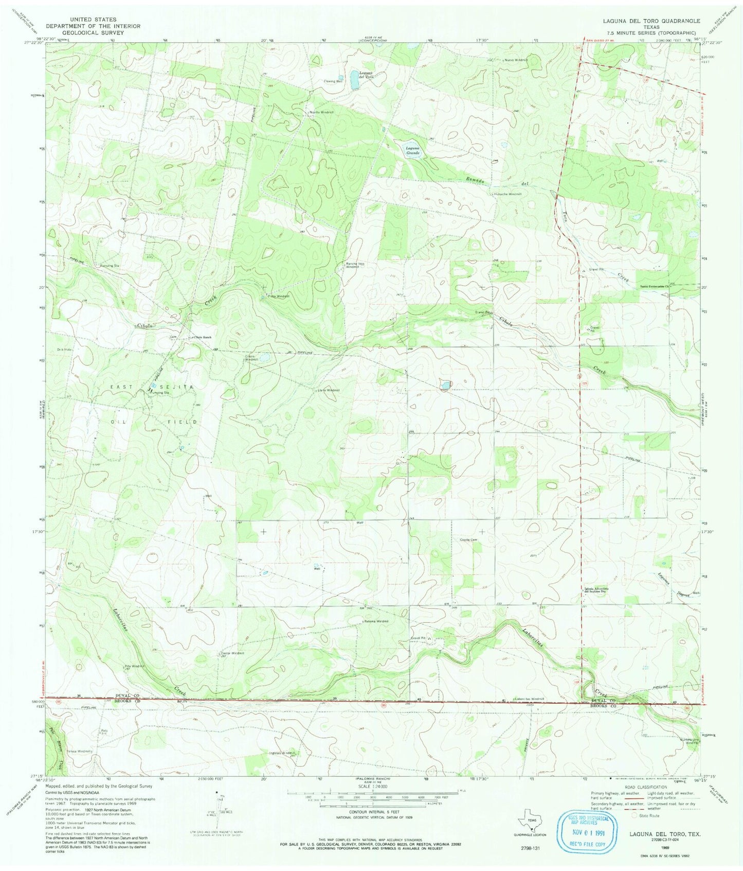
Classic USGS Laguna Del Toro Texas 7.5'x7.5' Topo Map
Couldn't load pickup availability
Historical USGS topographic quad map of Laguna Del Toro in the state of Texas. Map scale may vary for some years, but is generally around 1:24,000. Print size is approximately 24" x 27"
This quadrangle is in the following counties: Brooks, Duval.
The map contains contour lines, roads, rivers, towns, and lakes. Printed on high-quality waterproof paper with UV fade-resistant inks, and shipped rolled.
Contains the following named places: Castor Windmill, Cibolo Ranch, Cibolo Windmill, Copita Cemetery, East Sejita Oil Field, Huisache Windmill, Iglesia Adventista del Septimo Dia, Ingleses Windmill, Laborcitas Windmill, Laguna del Toro, Laguna Grande, Llano Windmill, Louisiana Windmill, Novillo Windmill, Nuevo Windmill, Numero Uno Windmill, Pita Windmill, Preza Windmill, Rancho Vejo Windmill, Retema Windmill, Santa Pentecostes Church, Teneja Windmill, ZIP Code: 78349