MyTopo
Classic USGS Laguna Park Texas 7.5'x7.5' Topo Map
Couldn't load pickup availability
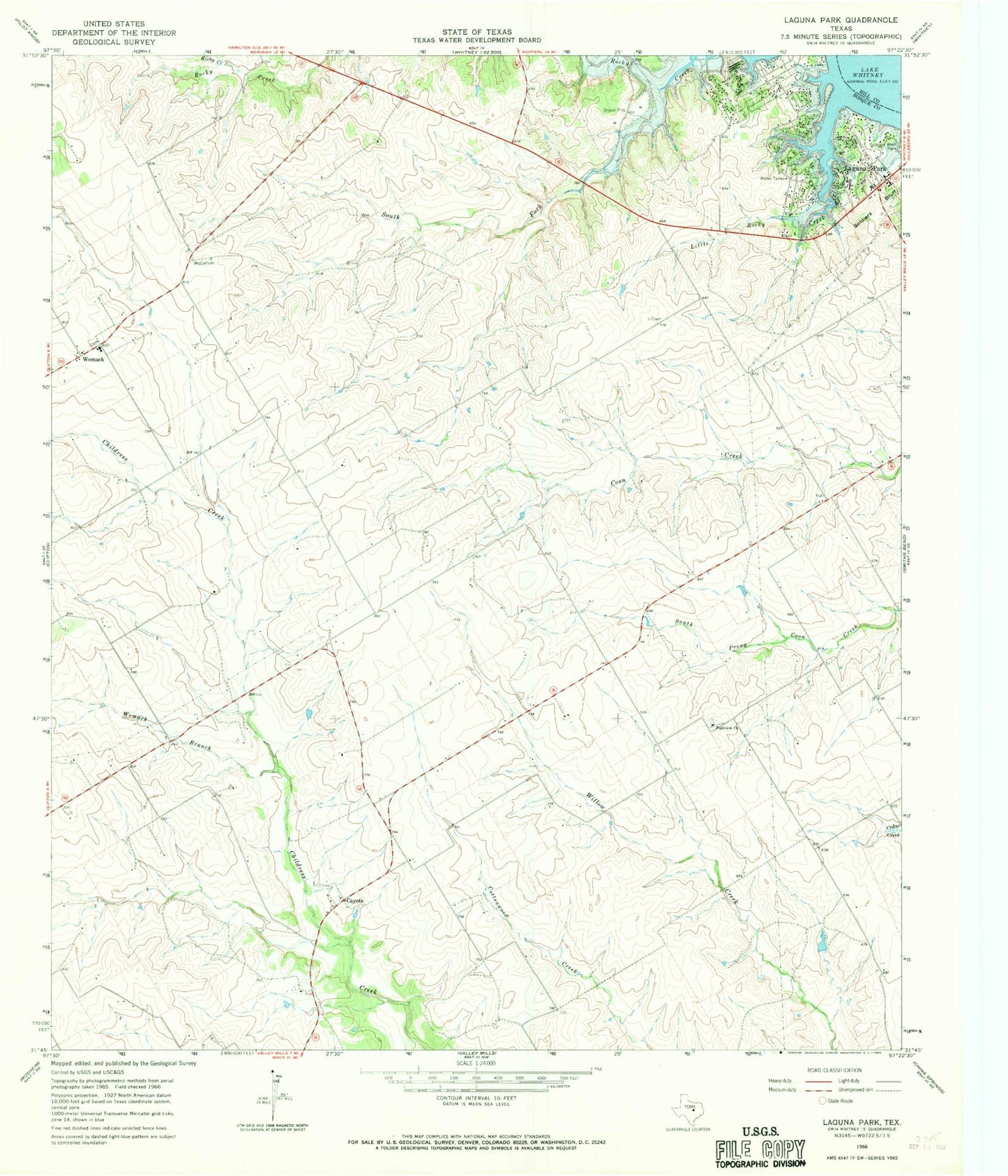
Historical USGS topographic quad map of Laguna Park in the state of Texas. Map scale may vary for some years, but is generally around 1:24,000. Print size is approximately 24" x 27"
This quadrangle is in the following counties: Bosque, Hill.
The map contains contour lines, roads, rivers, towns, and lakes. Printed on high-quality waterproof paper with UV fade-resistant inks, and shipped rolled.
Contains the following named places: Bald Eagle Pad, Cayote, Clifton Division, Fairview Church, Flying B Ranch Airport, Kirby Creek, KWOW-FM (Clifton), Laguna Park, Laguna Park Census Designated Place, Laguna Park Community Airport, Little Rocky Creek, South Fork Rocky Creek, West Shore Volunteer Fire Department, Womack, Womack Branch