MyTopo
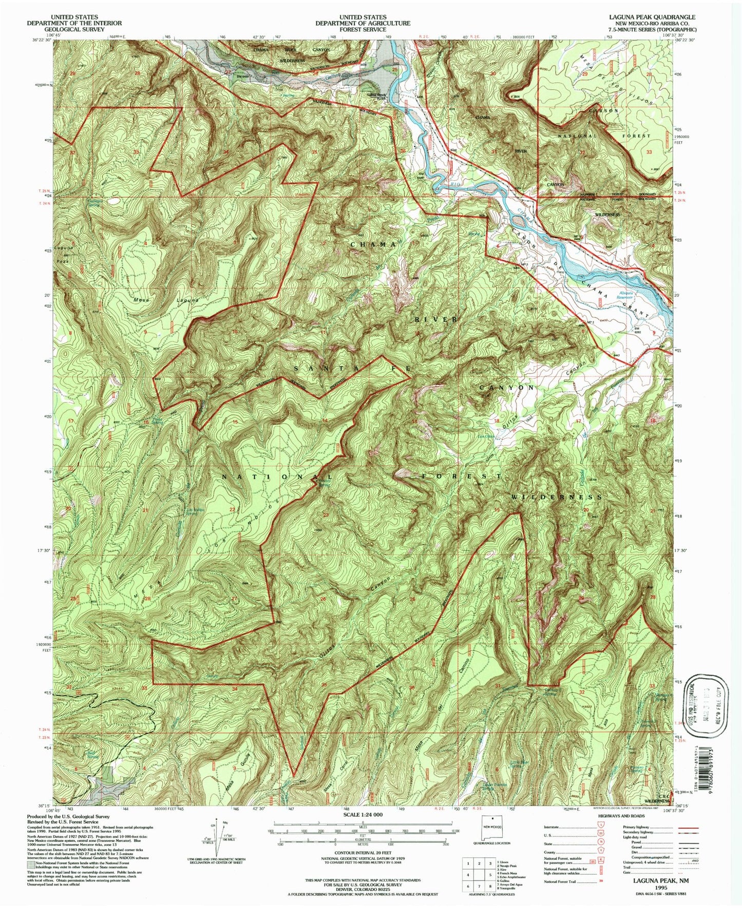
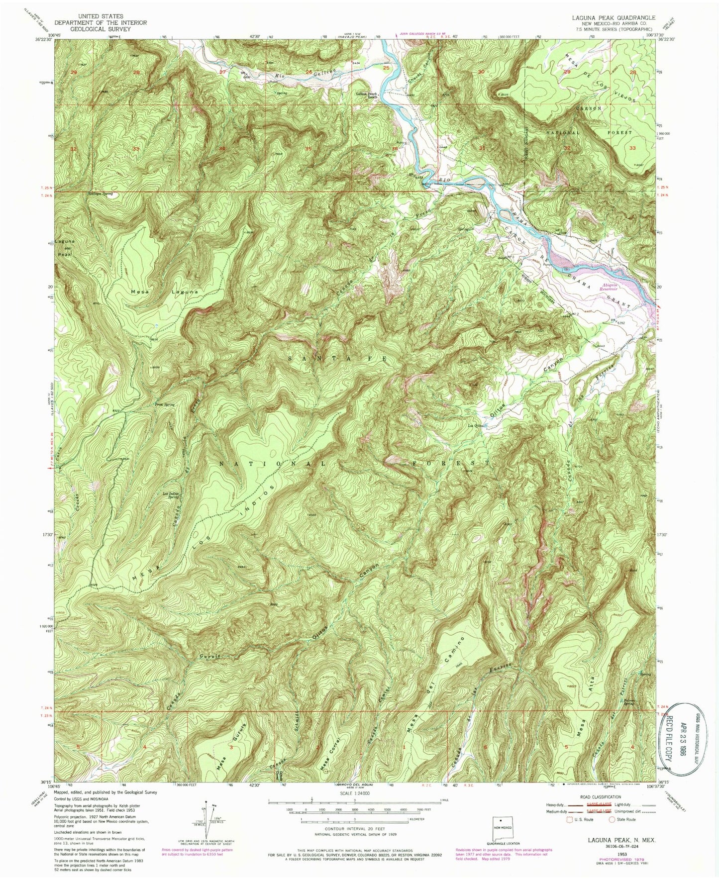
Classic USGS Laguna Peak New Mexico 7.5'x7.5' Topo Map
Couldn't load pickup availability
Historical USGS topographic quad map of Laguna Peak in the state of New Mexico. Typical map scale is 1:24,000, but may vary for certain years, if available. Print size: 24" x 27"
This quadrangle is in the following counties: Rio Arriba.
The map contains contour lines, roads, rivers, towns, and lakes. Printed on high-quality waterproof paper with UV fade-resistant inks, and shipped rolled.
Contains the following named places: Canada de la Presa, Canada de la Fuertes, Canada Camino, Canada Corral, Canada Gurule, Canada Schmidt, Canon de Chama Grant, Chavez Canyon, Gallegos Spring, Gallina Bench Ranch (historical), Laguna Peak, Los Indios Spring, Los Ojitos, Mesa de los Viejos, Mesa Laguna, Mesa los Indios, Ojitos Canyon, Potrero Three Spring, Presa Spring, Rio Gallina, Bear Spring, Chama River Canyon Wilderness, Wild Blue Mine, Potrero One Spring, Potrero Two Spring, Potrero Four Spring, Little Bear Spring, Lower Fuertes Spring, Ojitos Trail, Rincon Spring


