MyTopo
Classic USGS Laguna Texas 7.5'x7.5' Topo Map
Couldn't load pickup availability
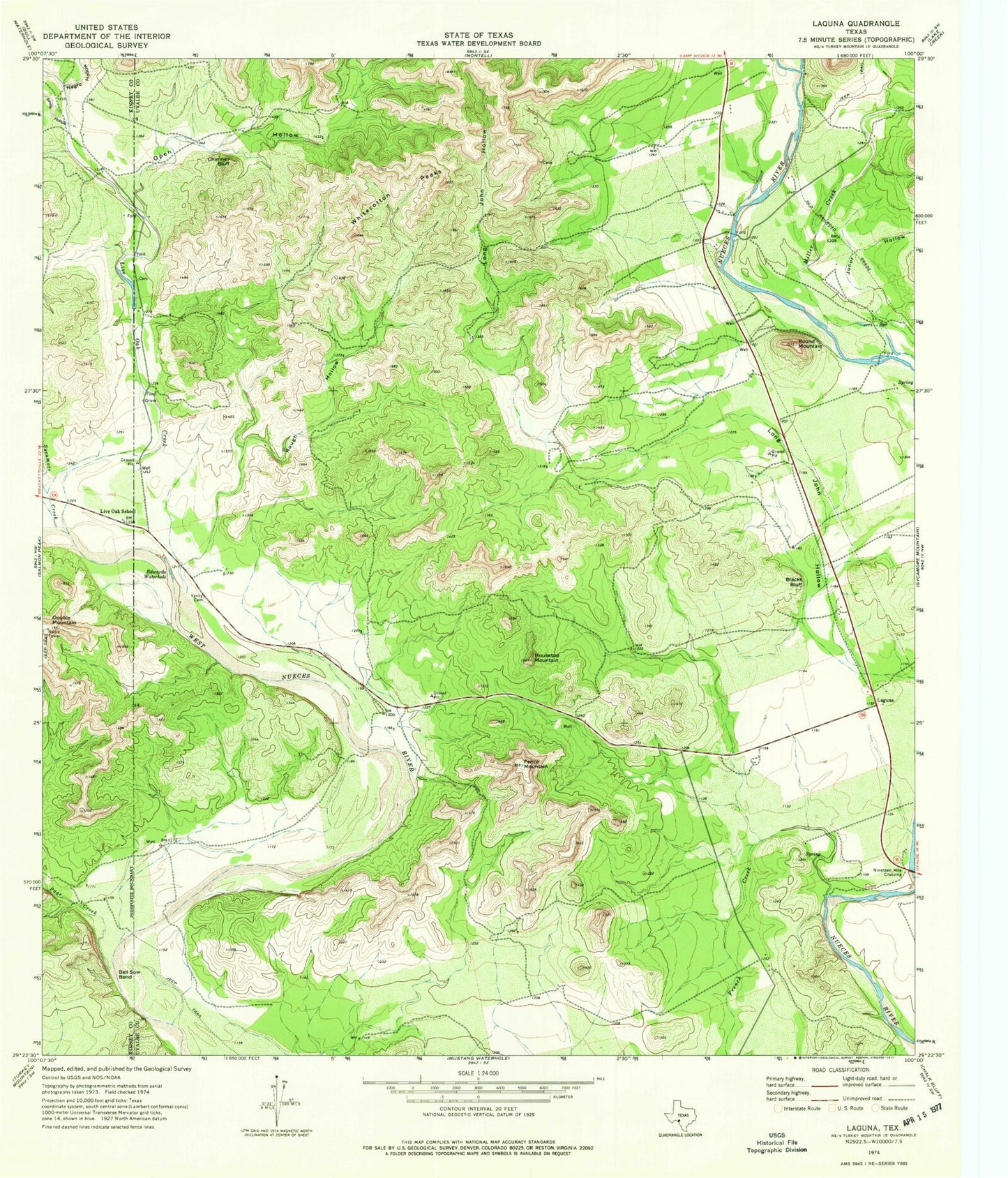
Historical USGS topographic quad map of Laguna in the state of Texas. Typical map scale is 1:24,000, but may vary for certain years, if available. Print size: 24" x 27"
This quadrangle is in the following counties: Kinney, Uvalde.
The map contains contour lines, roads, rivers, towns, and lakes. Printed on high-quality waterproof paper with UV fade-resistant inks, and shipped rolled.
Contains the following named places: Bell Sow Bend, Blacks Bluff, Chimney Bluff, Double Mountain, Edwards Waterhole, Fence Mountain, Housetop Mountain, Live Oak School, Open Hollow, Page Creek, Rough Hollow, Round Mountain, Sycamore Creek, Whitecotton Peaks, Yancy Cemetery, French Creek, Junor Hollow, Live Oak Creek, John Horse Hollow, Smith Hollow, Laguna, Nineteen Mile Crossing, Ox Ranch Airport, Los Cerrito Airport


