
MyTopo
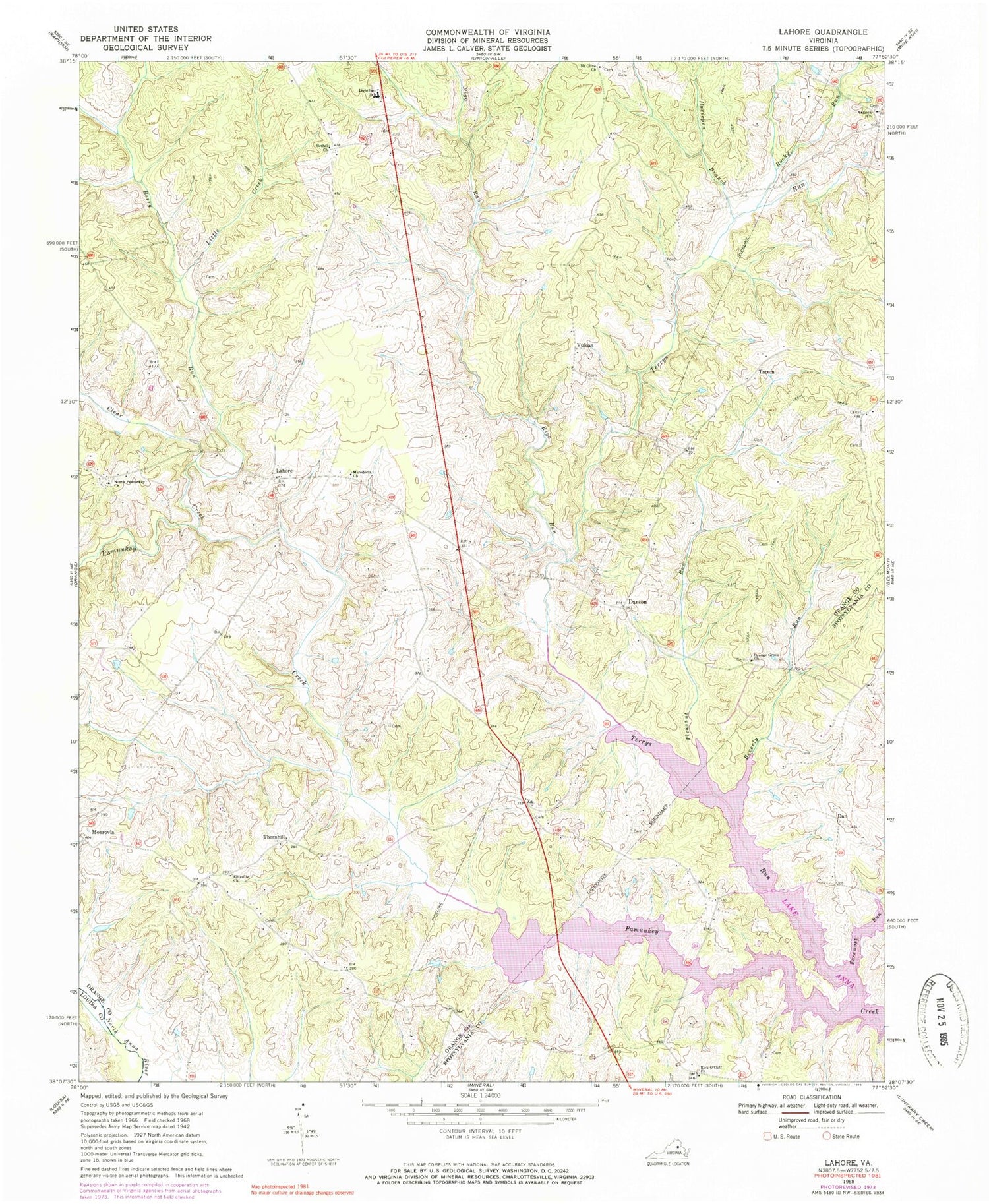
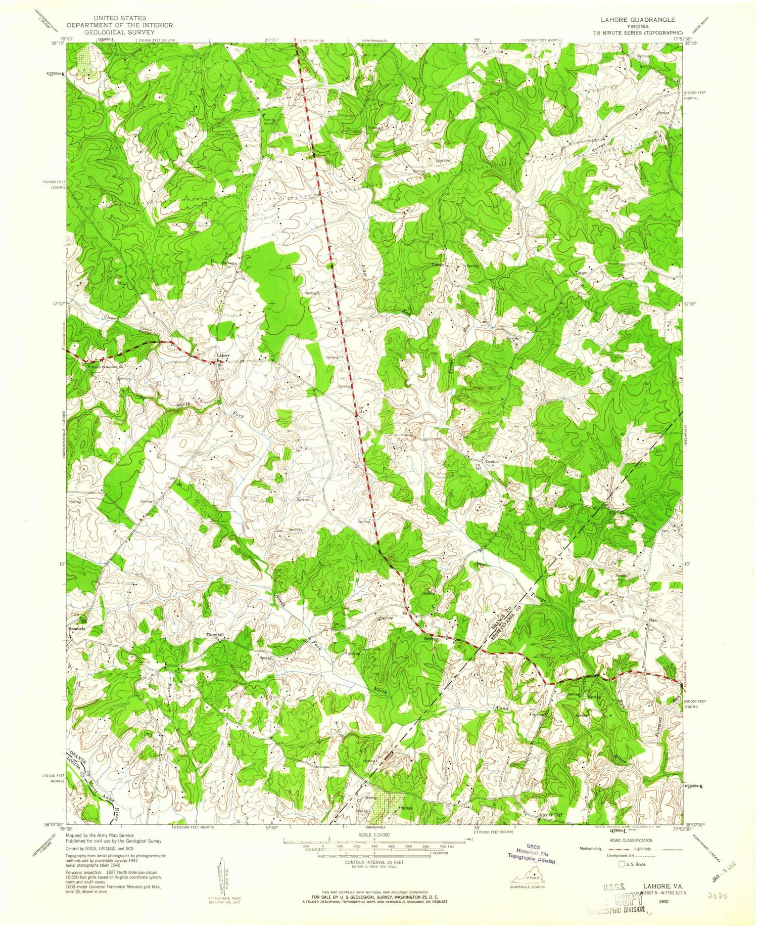
Classic USGS Lahore Virginia 7.5'x7.5' Topo Map
Couldn't load pickup availability
Historical USGS topographic quad map of Lahore in the state of Virginia. Map scale may vary for some years, but is generally around 1:24,000. Print size is approximately 24" x 27"
This quadrangle is in the following counties: Louisa, Orange, Spotsylvania.
The map contains contour lines, roads, rivers, towns, and lakes. Printed on high-quality waterproof paper with UV fade-resistant inks, and shipped rolled.
Contains the following named places: Antioch Baptist Church Cemetery, Antioch Church, Bakers Point, Bennetts Point, Berry Run, Bethel Cemetery, Bethel Church, Beverly Run, Buzzard Woods Point, Clear Creek, Conway Point, Dan, Daniels Point, Danton, Days Bridge, Dickersons Point, Earls Point, Ellisville Church, Foremost Run, Frazers Bridge, Frazers Point, Freemans Point, Graftons Bridge, Groomes Point, Henrys Point, Hickory Cut, Horsepen Branch, Isabella Lightfoot Training School, Kirk O'Cliff, Kirk O'Cliff Church, Lahore, Lake Anna Landing, Lightfoot Elementary School, Little Creek, Macedonia Church, Monrovia, Moores Point, Mount Olive Cemetery, Mount Olive Church, North Pamunkey Cemetery, North Pamunkey Church, Orange Grove Cemetery, Orange Grove Church, Pamunkey Bridge, Pleasant Run, Riga Run, Rocky Run, Sam Goodwins Cove, Simms Point, Sullivans Landing, Sunnyside School, Tatum, Terrells Store, Terrys Run, Thornhill, Thornhill School, Towsey Point, Vulcan, Woodside Branch, Woodville Point, Woolfolk Point, ZIP Code: 22567


