MyTopo
Classic USGS Laird Lake Montana 7.5'x7.5' Topo Map
Regular price
$16.95
Regular price
Sale price
$16.95
Unit price
per
Couldn't load pickup availability
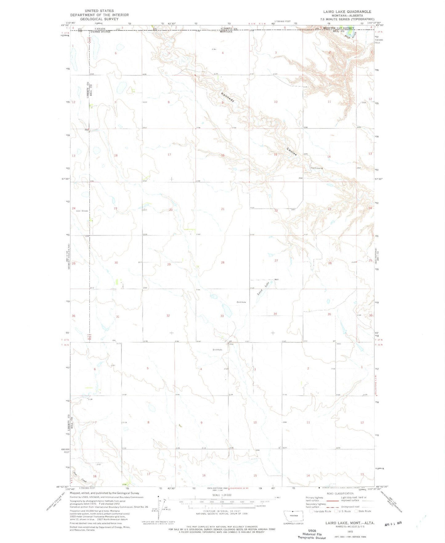
Historical USGS topographic quad map of Laird Lake in the state of Montana. Map scale may vary for some years, but is generally around 1:24,000. Print size is approximately 24" x 27"
This quadrangle is in the following counties: Hill, Liberty.
The map contains contour lines, roads, rivers, towns, and lakes. Printed on high-quality waterproof paper with UV fade-resistant inks, and shipped rolled.
Contains the following named places: 37N08E20BCCD01 Well, 37N08E20DDDC01 Well, Fox Crossing, Inverness Volunteer Fire Department Substation, Laird Lake, Mineota School, Minneota, Silver Lake, Sweet Adeline Dam, Wolery Waters Dam