MyTopo
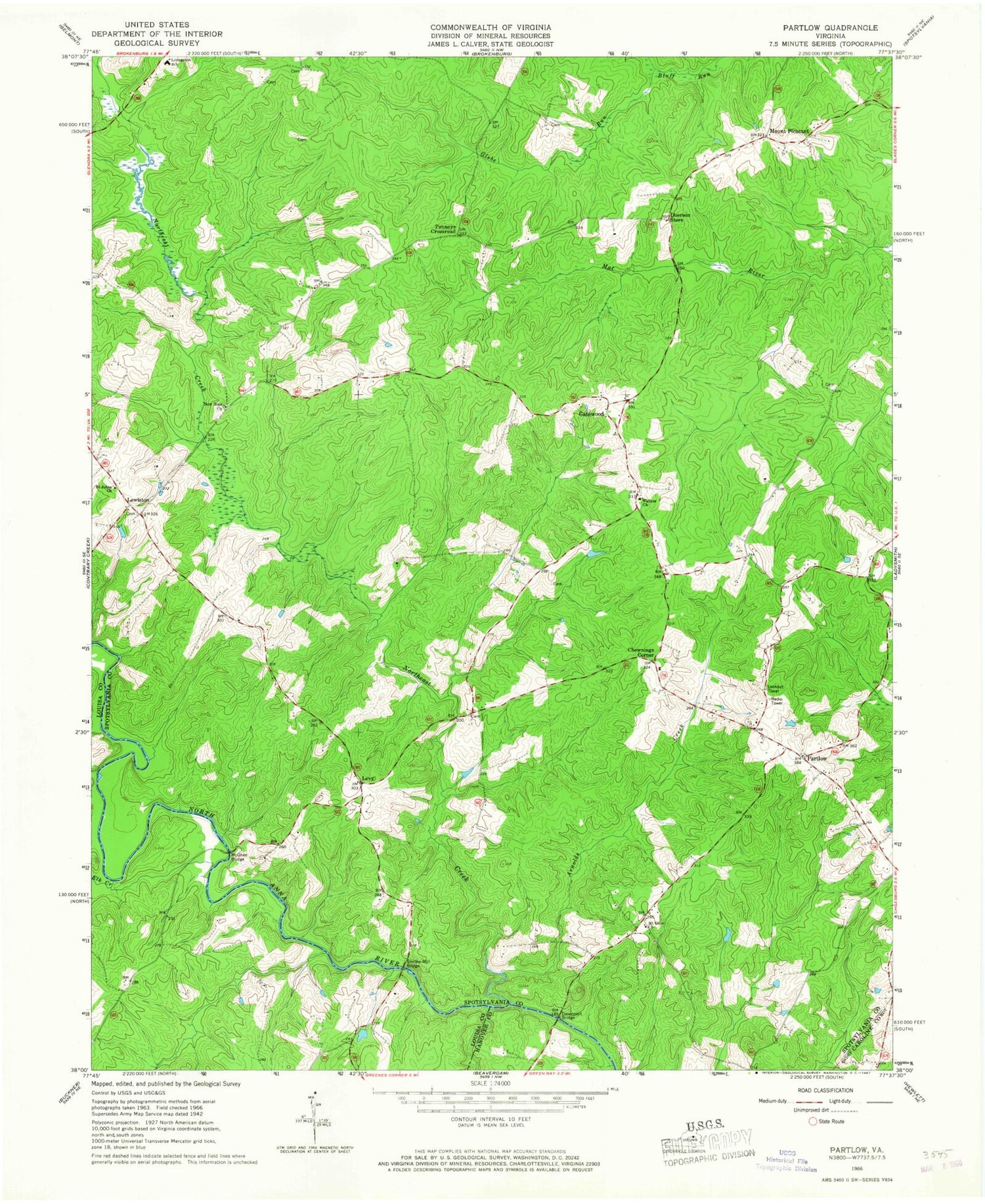
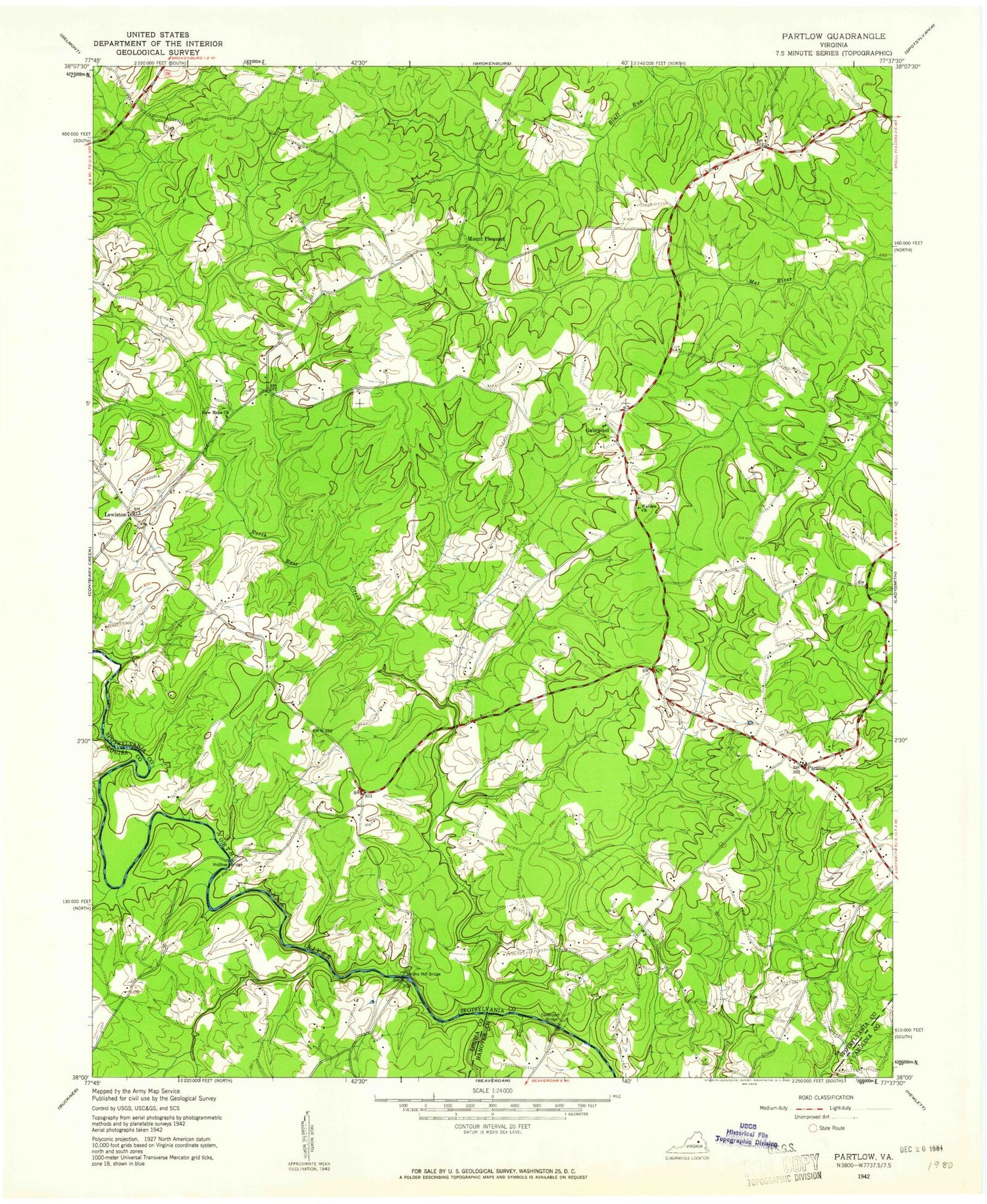
Classic USGS Lake Anna East Virginia 7.5'x7.5' Topo Map
Couldn't load pickup availability
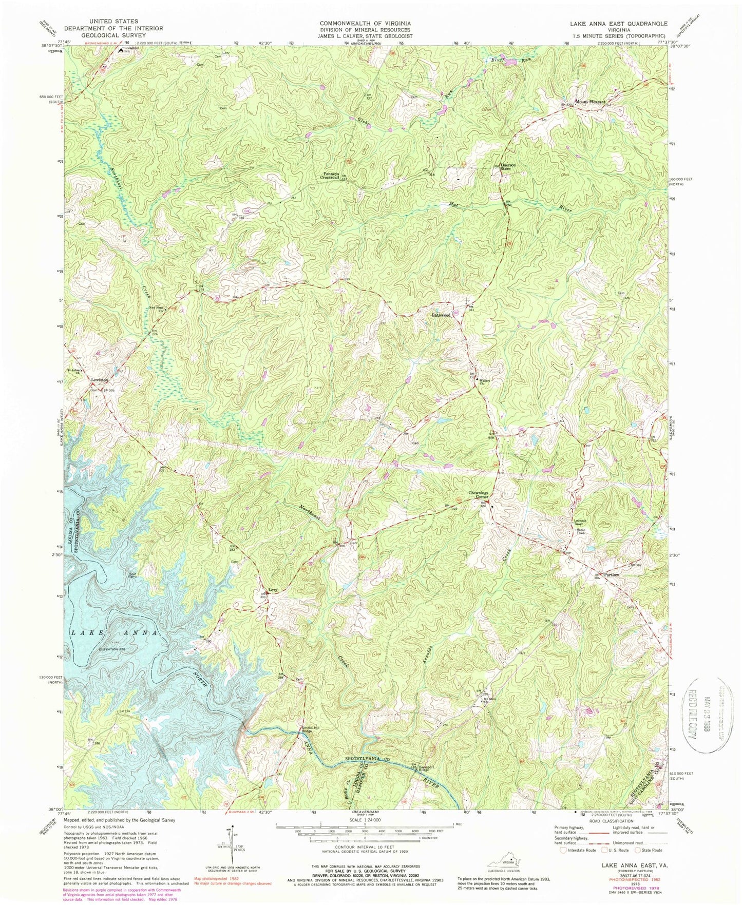
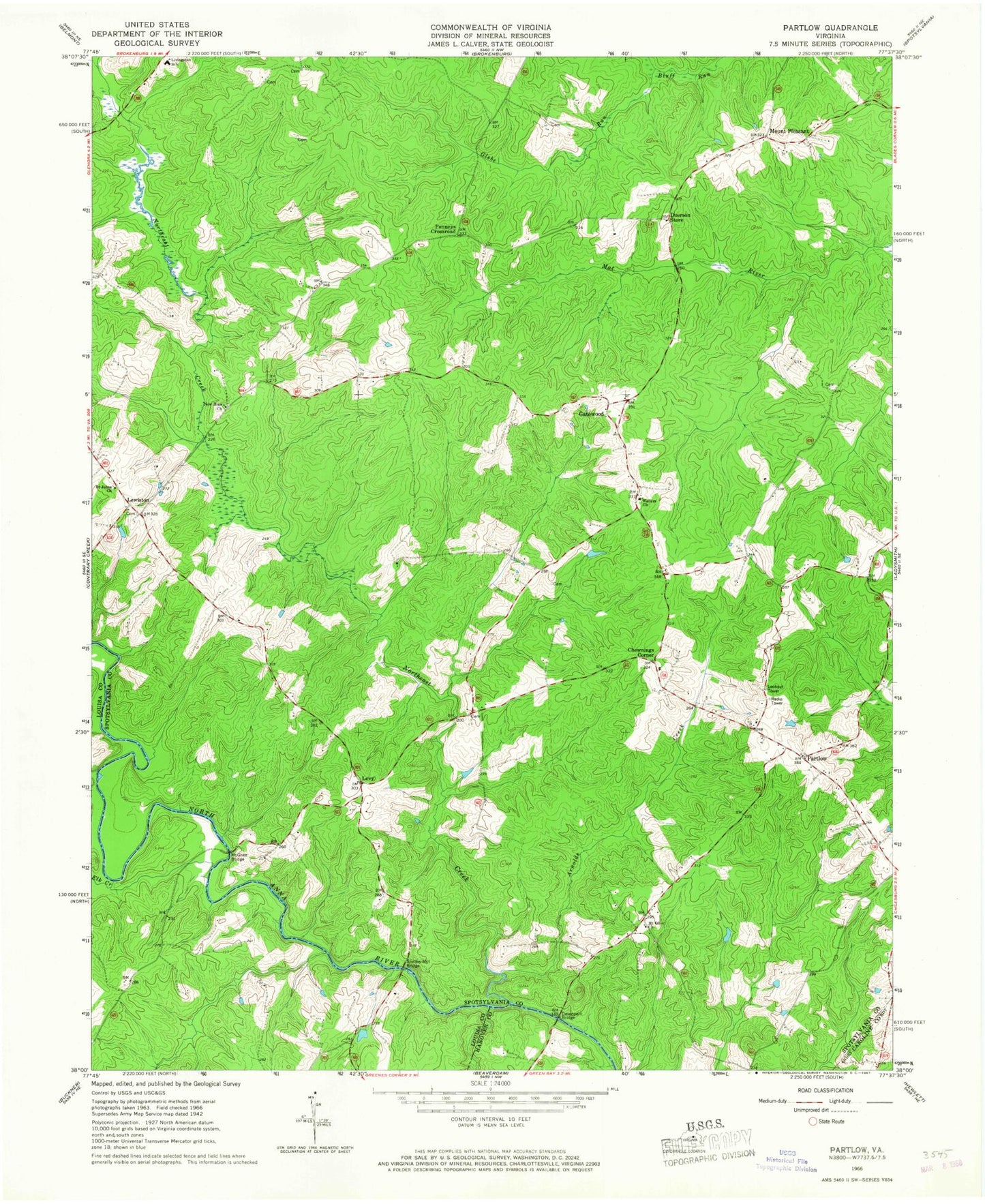
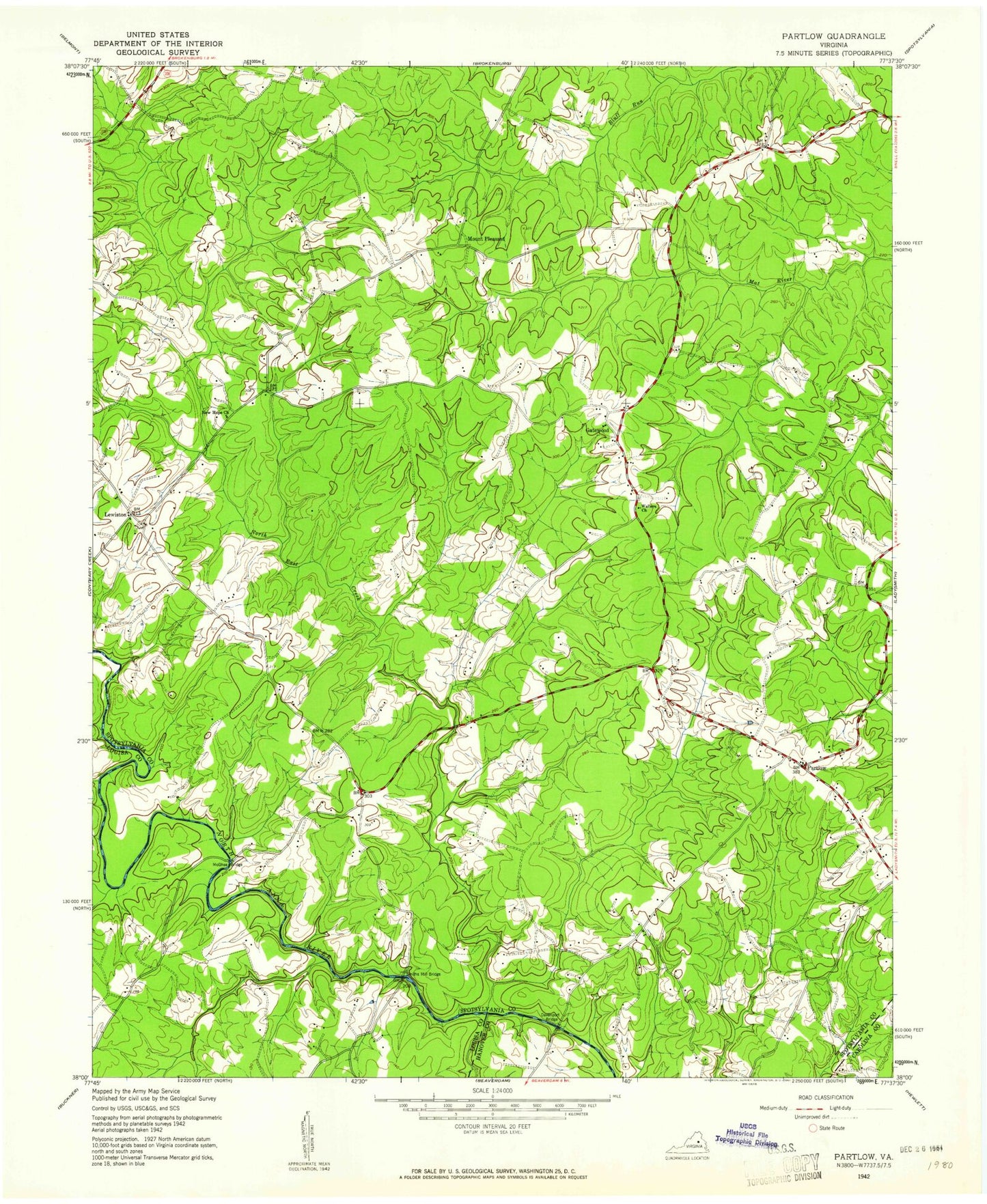
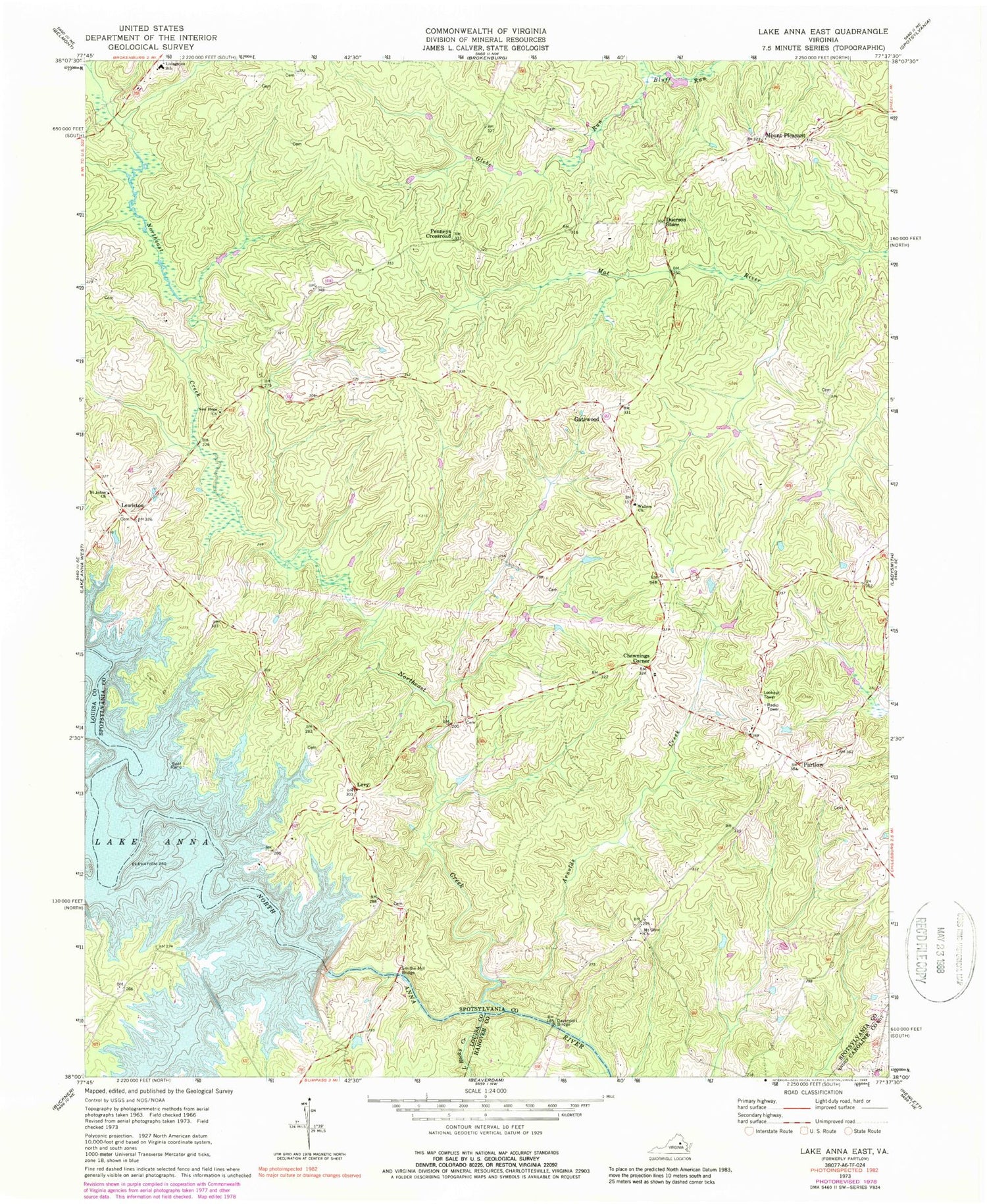
Historical USGS topographic quad map of Lake Anna East in the state of Virginia. Map scale may vary for some years, but is generally around 1:24,000. Print size is approximately 24" x 27"
This quadrangle is in the following counties: Caroline, Hanover, Louisa, Spotsylvania.
The map contains contour lines, roads, rivers, towns, and lakes. Printed on high-quality waterproof paper with UV fade-resistant inks, and shipped rolled.
Contains the following named places: Arnolds Creek, Bend, Blount Cove, Bones Island, Brents Landing, Browns Point, Burrus Point, Burruss Mill, Chewnings Corner, Dannys Hole, Davenport Bridge, David Creek, Duerson Store, Dukes Creek Marina, Fishermans Cove, Gatewood, Glebe Run, Jerdone Island, Levy, Lewiston, Little Rocky Creek, Livingston Elementary School, McGhee Bridge, Mount Olive Church, Mount Pleasant, New Hope Baptist Church, North Anna Dam, Northeast Creek, Partlow, Partlow Post Office, Penneys Crossroad, River Bend Island, Rock Creek, Rockland Creek, Saint Johns Church, Smiths Mill, Smiths Mill Bridge, Spotsylvania County Fire and Rescue Station 3, Spotsylvania Volunteer Rescue Squad Station 3, Talley Point, Tyler Point, Valentine Cove, Walkups Cove, Wallers Baptist Church Cemetery, Wallers Church, Ways Point, ZIP Code: 22534
