MyTopo
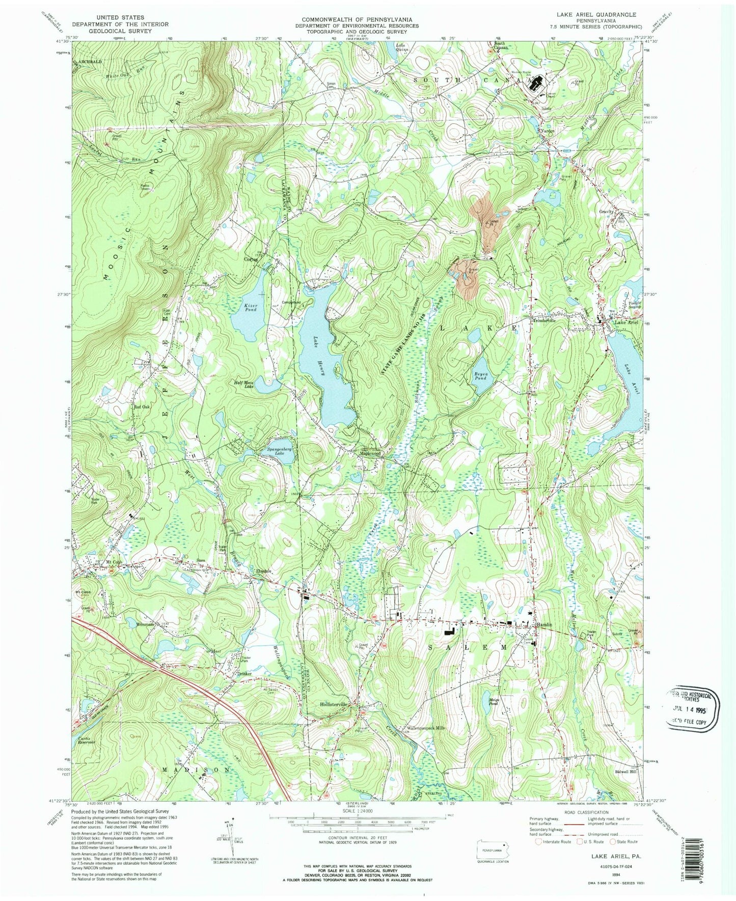
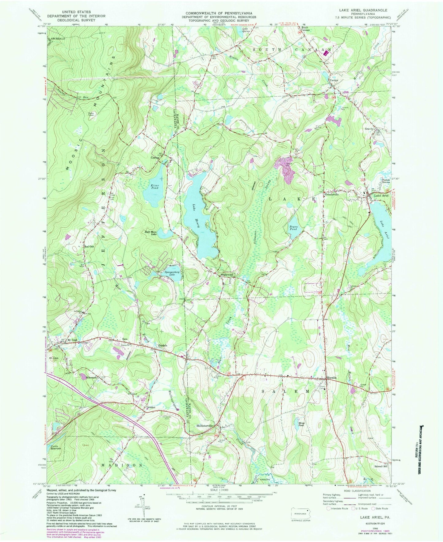
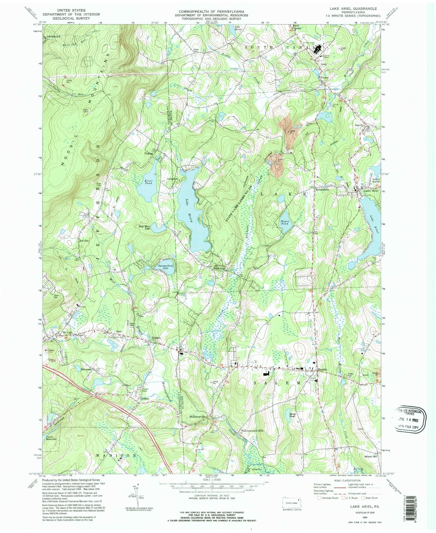
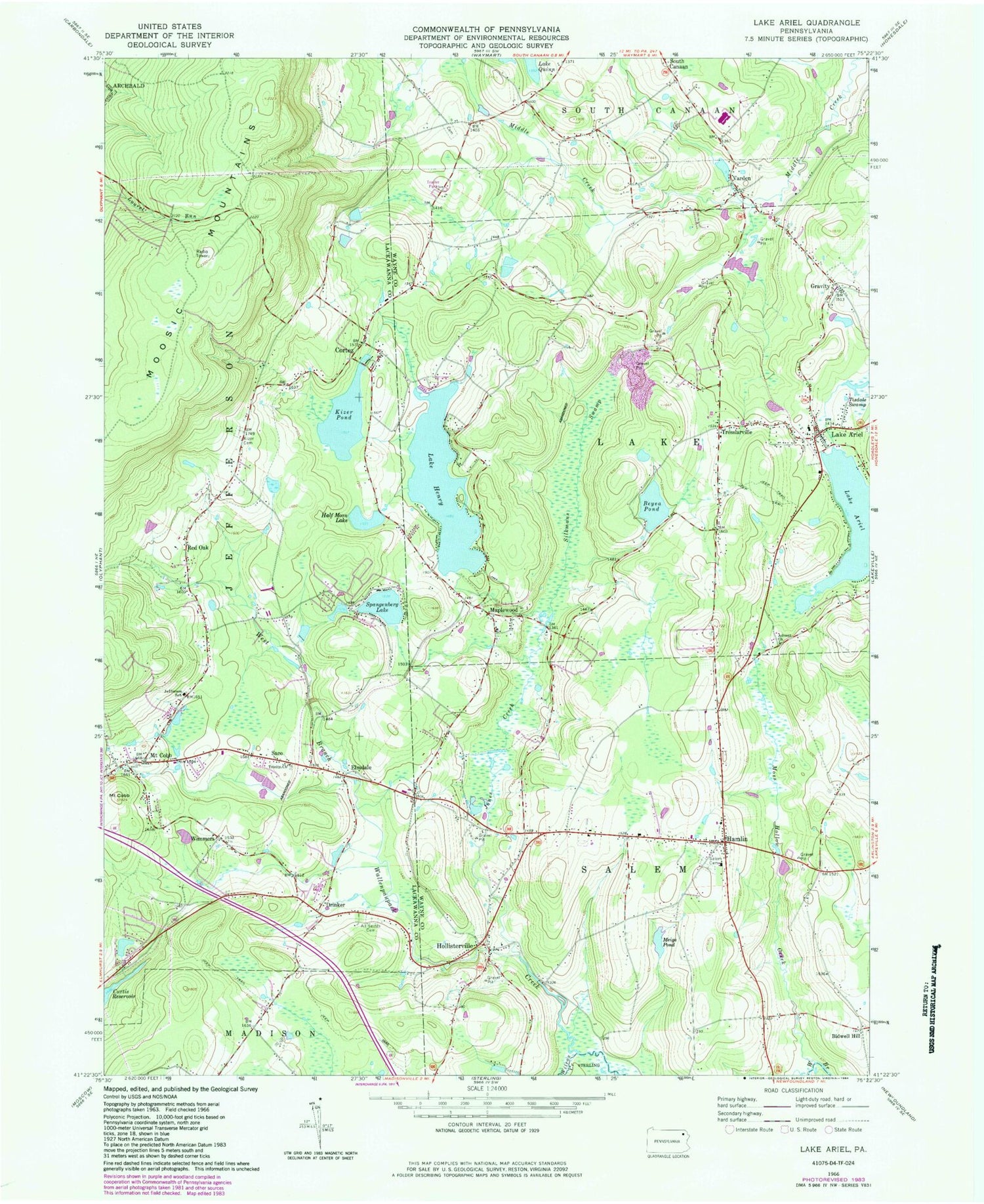
Classic USGS Lake Ariel Pennsylvania 7.5'x7.5' Topo Map
Couldn't load pickup availability
Historical USGS topographic quad map of Lake Ariel in the state of Pennsylvania. Typical map scale is 1:24,000, but may vary for certain years, if available. Print size: 24" x 27"
This quadrangle is in the following counties: Lackawanna, Wayne.
The map contains contour lines, roads, rivers, towns, and lakes. Printed on high-quality waterproof paper with UV fade-resistant inks, and shipped rolled.
Contains the following named places: Reed Airport, Lake Henry Dam, Kizer Pond Dam, Miller Pond Dam, Brown School, East School, Advent School, Manning Junction, Elm School, Frisbie School, Simon Church (historical), Moosic School, Hemlock School (historical), Advent Church, All Saints Cemetery, Lake Ariel, Beyea Pond, Mount Cobb, Cortez, Drinker, Elmdale, Gravity, Half Moon Lake, Hamlin, Lake Henry, Hollisterville, Jefferson School, Jones Creek, Kizer Pond, Maplewood, Meigs Pond, Moss Hollow Creek, Mount Cobb, Red Oak, Saco, Salem Cemetery, Silkmans Swamp, Spangenberg Lake, Tisdale Swamp, Tresslarville, Trinity Church, Varden, Wilcox Creek, Lake Ariel, Kizers Little Lake, Bidwell Hill, Wimmers, Labar Dam, Beyea Pond Dam, Mill Pond Dam, Shaffer Power Dam, Coccordrilli Dam, Wallenpaupack Mills, Township of Jefferson, Township of Lake, Wayne House, Varden Conservation Area, Hollisterville Cemetery, Jefferson Township Volunteer Fire Company Station 29, Lake Ariel Volunteer Fire Company Station 1, Hamlin Fire and Rescue Station 67, Maplewood Fire and Rescue Company Station 68, Lake Ariel Quarry, Lake Ariel Post Office, Hamlin Post Office, Potter Cemetery, Kizer Cemetery, Elmdale Cemetery


