MyTopo
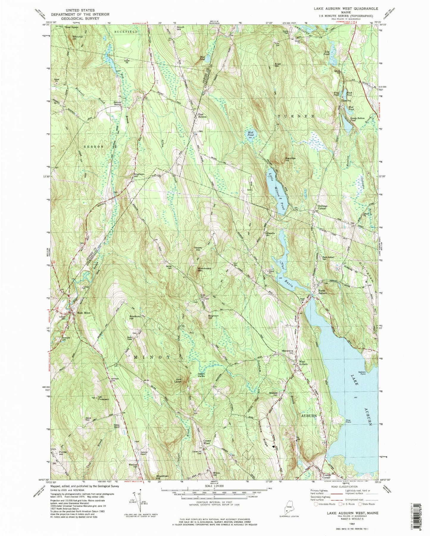
Classic USGS Lake Auburn West Maine 7.5'x7.5' Topo Map
Couldn't load pickup availability
Historical USGS topographic quad map of Lake Auburn West in the state of Maine. Map scale may vary for some years, but is generally around 1:24,000. Print size is approximately 24" x 27"
This quadrangle is in the following counties: Androscoggin, Oxford.
The map contains contour lines, roads, rivers, towns, and lakes. Printed on high-quality waterproof paper with UV fade-resistant inks, and shipped rolled.
Contains the following named places: Allen Brook, Androscoggin Learning and Transition Center, Asa Bearce Cemetery, Atkinson Cemetery, Baker Cemetery, Bicknell Brook, Black Pond, Bog Brook Cemetery, Bradbury Hill, Brighton Hill, Brookvale Cemetery, Brown Cemetery, Center Hill Cemetery, Center Minot, Chandler Cemetery, Deane Cemetery, Death Valley, Dillingham Cemetery, Dillingham Hill, East Hebron, Freeman Cemetery, Frog Pond, Gauthier Hill, Goff Ledge, Harlow Cemetery, Hebron Fire Department Bruno Station, Hebron Pines Campground, Hebron Station, Hebron Station School, Hemond Airport, Hersey Hill, Herseyville Cemetery, Hilborn Cemetery, Lily Pond, Little Wilson Pond, Lost Valley Ski Area, Maheu Airport, Marstons Hill, Minot Fire Department Orchard Station, Moody Library, Mount Prospect, Mud Pond, North Auburn, North Auburn Cemetery, North Auburn Dam, Olde French Cemetery, Perkins Ridge, Pine Point, Pottle Hill, Riverside Cemetery, Salmon Point, Sandy Bottom Pond, Scott Family Graveyard, Shaw Hill, Skillings Corner, Snell Hill, South Hill, Tabor Farm Cemetery, The Basin, Times Square, Town of Minot, West Auburn, West Minot, West Minot Village Fire Department, West Turner Cemetery, Whitman Hill, Wood Street Cemetery, Woodman Cemetery, Woodman Hill, Woodward Mountain, Youngs Corner, ZIP Code: 04258


