MyTopo
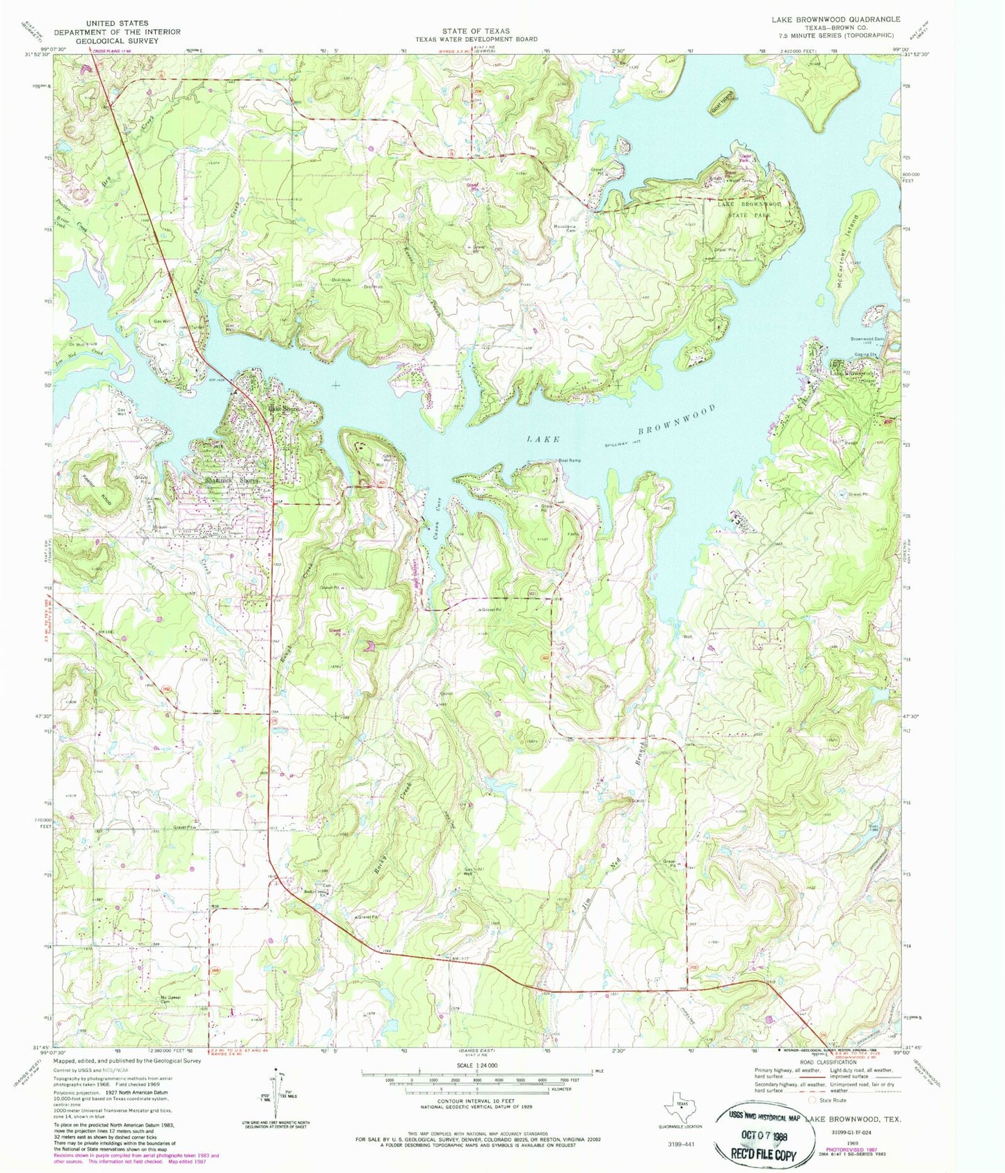
Classic USGS Lake Brownwood Texas 7.5'x7.5' Topo Map
Couldn't load pickup availability
Historical USGS topographic quad map of Lake Brownwood in the state of Texas. Typical map scale is 1:24,000, but may vary for certain years, if available. Print size: 24" x 27"
This quadrangle is in the following counties: Brown.
The map contains contour lines, roads, rivers, towns, and lakes. Printed on high-quality waterproof paper with UV fade-resistant inks, and shipped rolled.
Contains the following named places: Briar Creek, Brownwood Dam, Lake Brownwood, Cason Cove, Dry Creek, Goat Island, Keesee Creek, Lake Brownwood, Lake Brownwood State Park, Lake Shore, Macedonia Cemetery, McCartney Island, McDaniel Cemetery, Panther Creek, Rocky Creek Church, Rough Creek, Shamrock Shores, Short Creek, Turner Creek, Jim Ned Branch, Jim Ned Creek, Rocky Creek, Brownwood Reservoir, Soil Conservation Service Site 8 Dam, Soil Conservation Service Site 8 Reservoir, Bangs Division, Lake Brownwood State Park Trail, Lake Brownwood Census Designated Place, Lake Brownwood Volunteer Fire Department, Lake Dam Volunteer Fire Department


