MyTopo
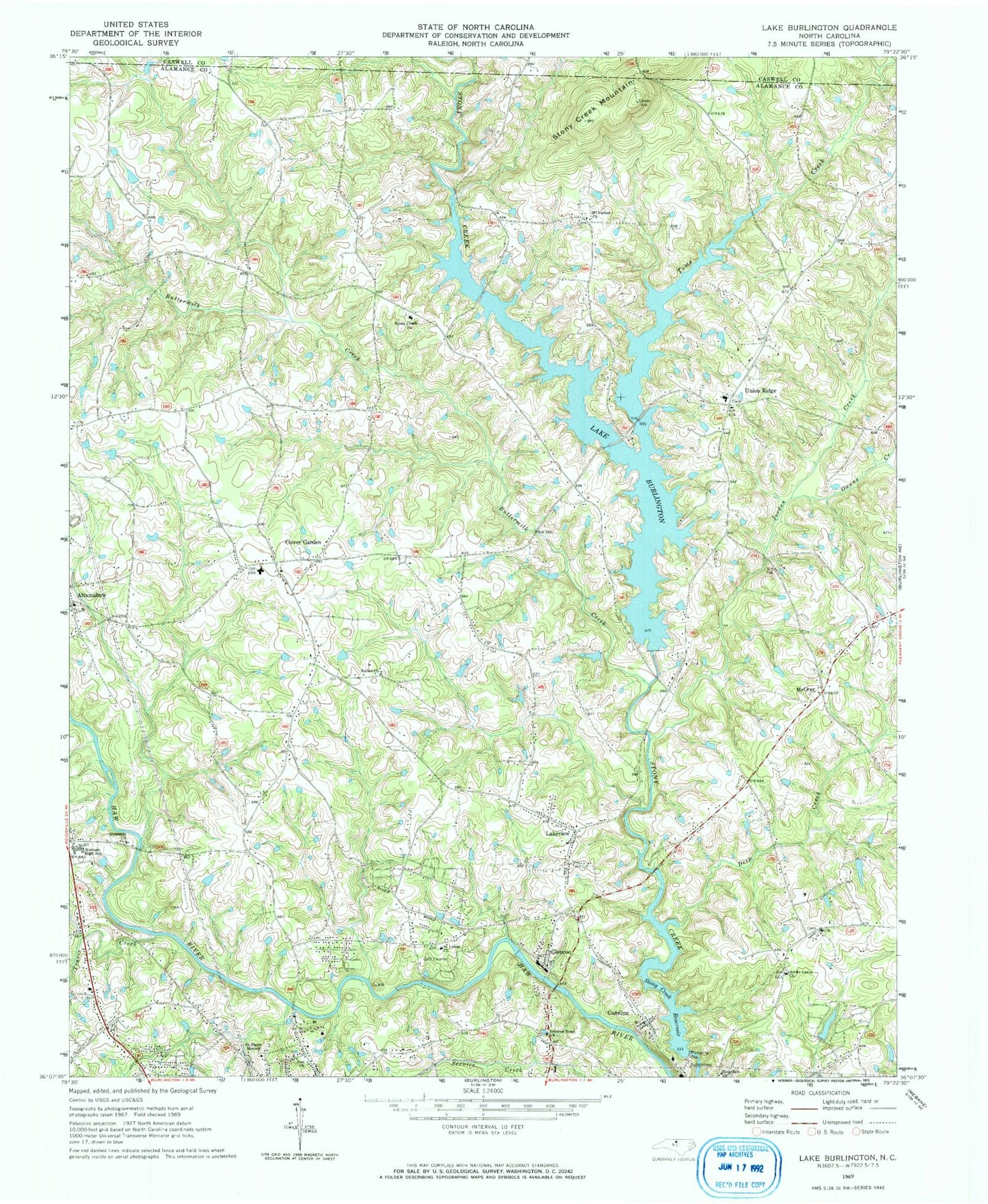
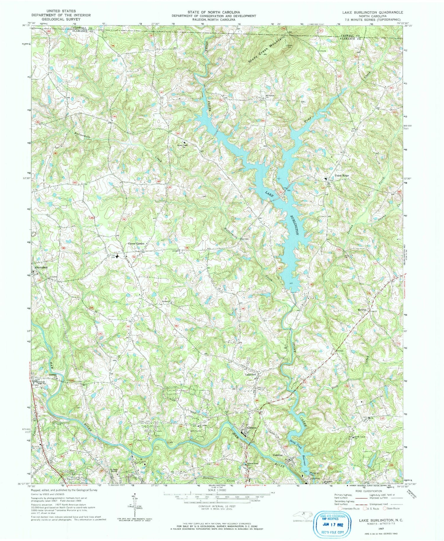
Classic USGS Lake Burlington North Carolina 7.5'x7.5' Topo Map
Couldn't load pickup availability
Historical USGS topographic quad map of Lake Burlington in the state of North Carolina. Map scale may vary for some years, but is generally around 1:24,000. Print size is approximately 24" x 27"
This quadrangle is in the following counties: Alamance, Caswell.
The map contains contour lines, roads, rivers, towns, and lakes. Printed on high-quality waterproof paper with UV fade-resistant inks, and shipped rolled.
Contains the following named places: Archs Grove Church, Bethel Church, Birchwood, British Acres, Bully Field Airport, Buttermilk Creek, Carolina, Clover Garden, Deep Creek, Faucette Township Volunteer Fire Department Station 17, Faucette Township Volunteer Fire Department Station 7, Glencoe, Glencoe Road Church, Green Acres, Hopedale Church, Indian Hills Country Club, Jordan Creek, Lake Burlington, Lake Burlington Sediment Pool, Lake Burlington Sediment Pool Number One Dam, Lake Burlington Sediment Pool Number Two, Lake Burlington Sediment Pool Number Two Dam, Lake Cammack, Lake Cammack Dam, Lake View Estates Pond, Lake View Estates Pond Dam, Lakeview, Lakeview Estates, McCray, Mount Vernon Church, North Central Alamance Fire Department, Old Stony Creek Dam, Owens Creek, Riverside Church, Saint Lukes Church, Saint Pauls Mission, Stony Creek Church, Stony Creek Mountain, Stony Creek Reservoir, Toms Creek, Township 4-Morton, Township 5-Faucette, Travis Creek, Union Ridge, Western High School, Zion Church, ZIP Codes: 27217, 27244


