MyTopo
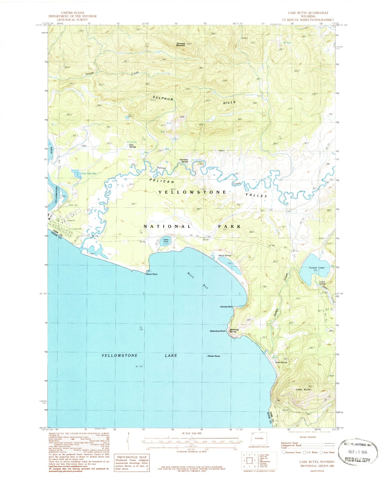
Classic USGS Lake Butte Wyoming 7.5'x7.5' Topo Map
Couldn't load pickup availability
Historical USGS topographic quad map of Lake Butte in the state of Wyoming. Map scale may vary for some years, but is generally around 1:24,000. Print size is approximately 24" x 27"
This quadrangle is in the following counties: Park, Teton.
The map contains contour lines, roads, rivers, towns, and lakes. Printed on high-quality waterproof paper with UV fade-resistant inks, and shipped rolled.
Contains the following named places: Beach Springs, Bear Creek, Butte Spring, Butte Springs, Ebro Springs, Holmes Point, Indian Pond, Lake Butte, Mary Bay, Pelican Creek, Pelican Creek Trail, Pelican Roost, Pelican Valley, Sedge Creek, Steamboat Point, Steamboat Springs, Stonetop Mountain, Storm Point, Sulphur Hills, Turbid Lake, Turbid Springs, Vermilion Springs