MyTopo
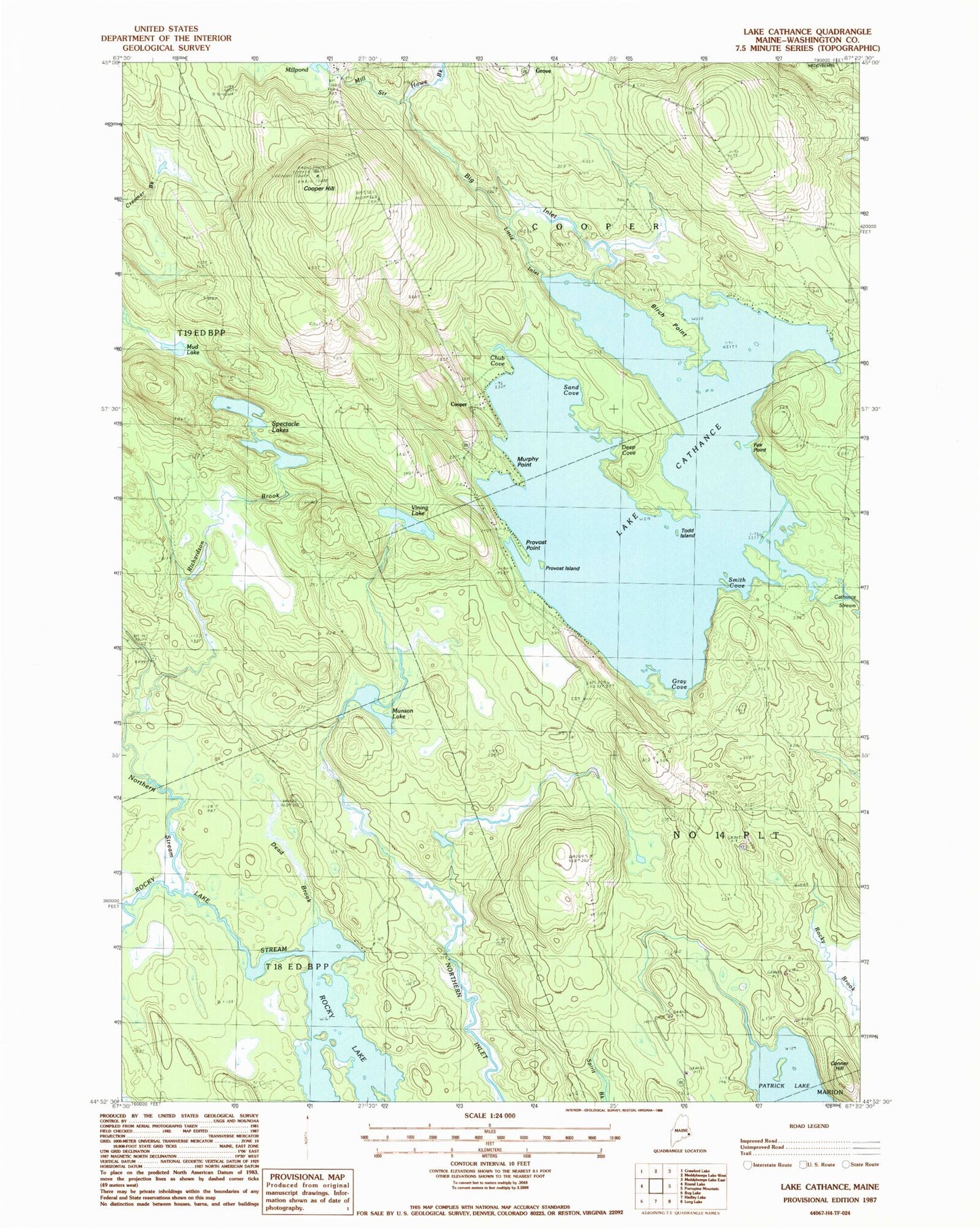
Classic USGS Lake Cathance Maine 7.5'x7.5' Topo Map
Couldn't load pickup availability
Historical USGS topographic quad map of Lake Cathance in the state of Maine. Typical map scale is 1:24,000, but may vary for certain years, if available. Print size: 24" x 27"
This quadrangle is in the following counties: Washington.
The map contains contour lines, roads, rivers, towns, and lakes. Printed on high-quality waterproof paper with UV fade-resistant inks, and shipped rolled.
Contains the following named places: Big Inlet, Birch Point, Lake Cathance, Chub Cove, Conner Hill, Cooper Hill, Dead Brook, Deep Cove, East Ridge School, Fox Point, Gray Cove, Little Inlet, Mud Lake, Munson Lake, Murphy Point, Northern Stream, Patrick Lake, Provost Island, Provost Point, Richardson Brook, Sand Cove, Smith Cove, Spectacle Lakes, The Commons, Todd Island, Vining Lake, West Ridge School, Cooper, Howe Brook, Mill Stream, Town of Cooper, Cathance Lake Dam, Cooper Volunteer Fire Department