MyTopo
Classic USGS Lake City East South Carolina 7.5'x7.5' Topo Map
Couldn't load pickup availability
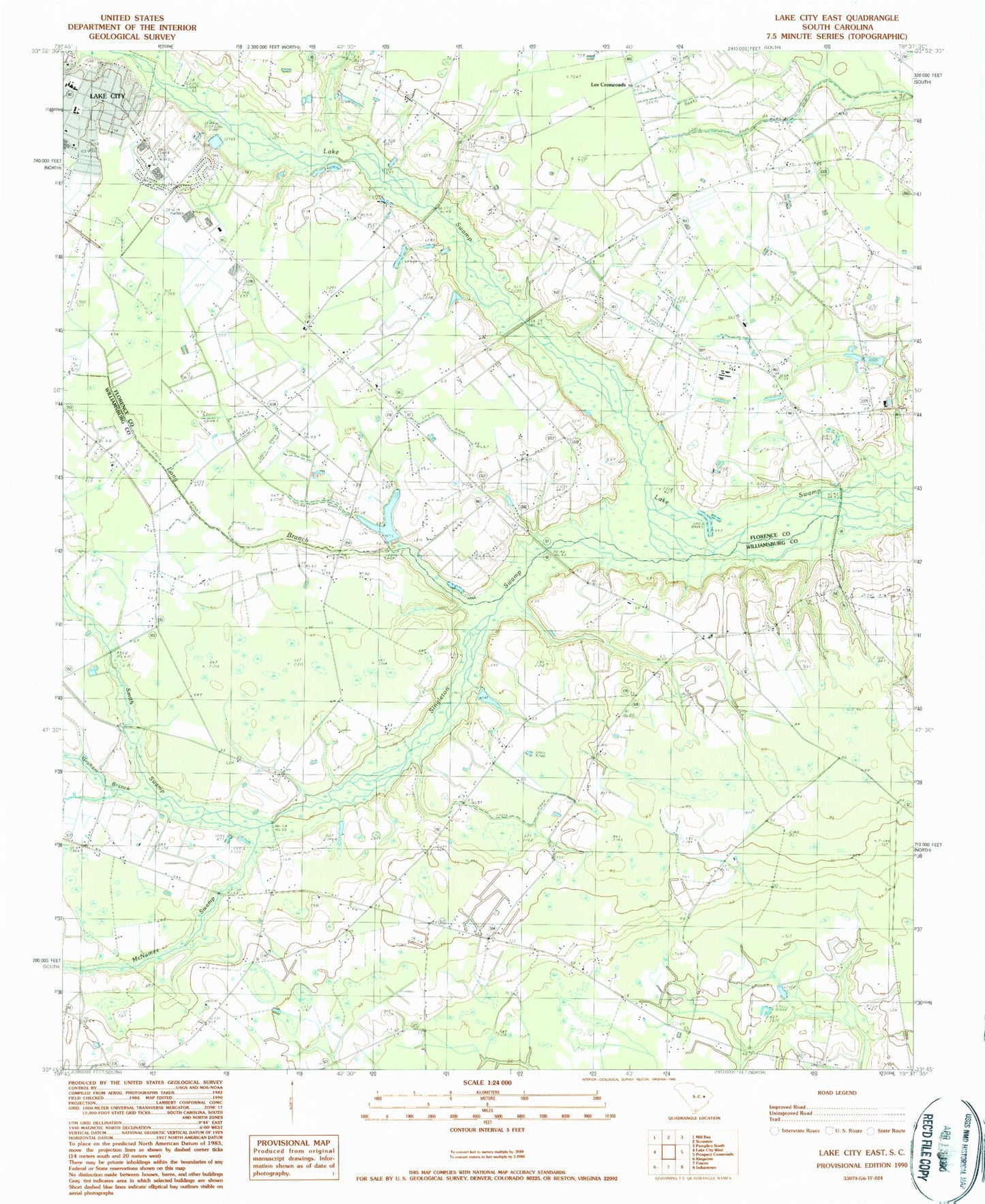
Historical USGS topographic quad map of Lake City East in the state of South Carolina. Map scale may vary for some years, but is generally around 1:24,000. Print size is approximately 24" x 27"
This quadrangle is in the following counties: Florence, Williamsburg.
The map contains contour lines, roads, rivers, towns, and lakes. Printed on high-quality waterproof paper with UV fade-resistant inks, and shipped rolled.
Contains the following named places: Askins Pond, Askins Pond Dam D-3574, Bethel Church, Bethel School, Bethesda Church, Bethesda School, Bethlehem Church, Beulah Church, Beulah School, Brown Cemetery, Brown Chapel, Browns Bridge, Browns Chapel Cemetery, Browns School, Browns Store, Central Holiness Church, Cooper Cemetery, Eaddy Pond, Eaddy Pond Dam D-3575, East Lake City Holiness Church, Gaskin Cemetery, Gaskins School, Grahams Mill Branch, Jones Cemetery, Kelley Heights, Lake City Wastewater Treatment Plant, Lake City-Scranton Division, Lake Point United Methodist Church, Lee Crossroads, Liberty Church, Liberty School, Lions Municipal PArk, Long Branch, Lynch Cemetery, Main Street Elementary School, Martha Law Estates, Martha Law Municipal Park, McCutcheon School, McNamee Swamp, New Zion Missionary Baptist Church, Ninevah Church, Ninevah School, Paran Church, Pentecostal Holiness Church, Pine Grove School, Roper School, Rough Branch School, Saint John Church, Saint Mark Church, Singleton Church, Singleton School, Singleton Swamp, Smith Swamp, South Lynches Fire Department Station 5, WJOT-AM (Lake City), Wren Village, Wren Village Municipal Park, Zion School, ZIP Code: 29560