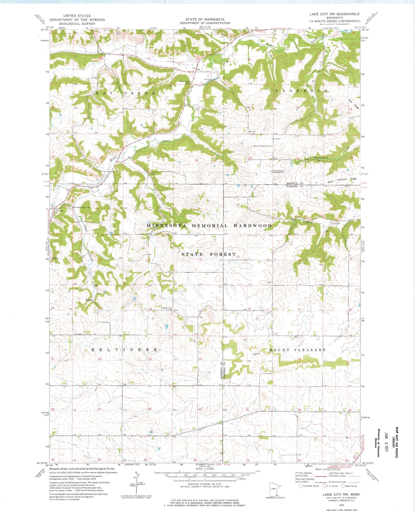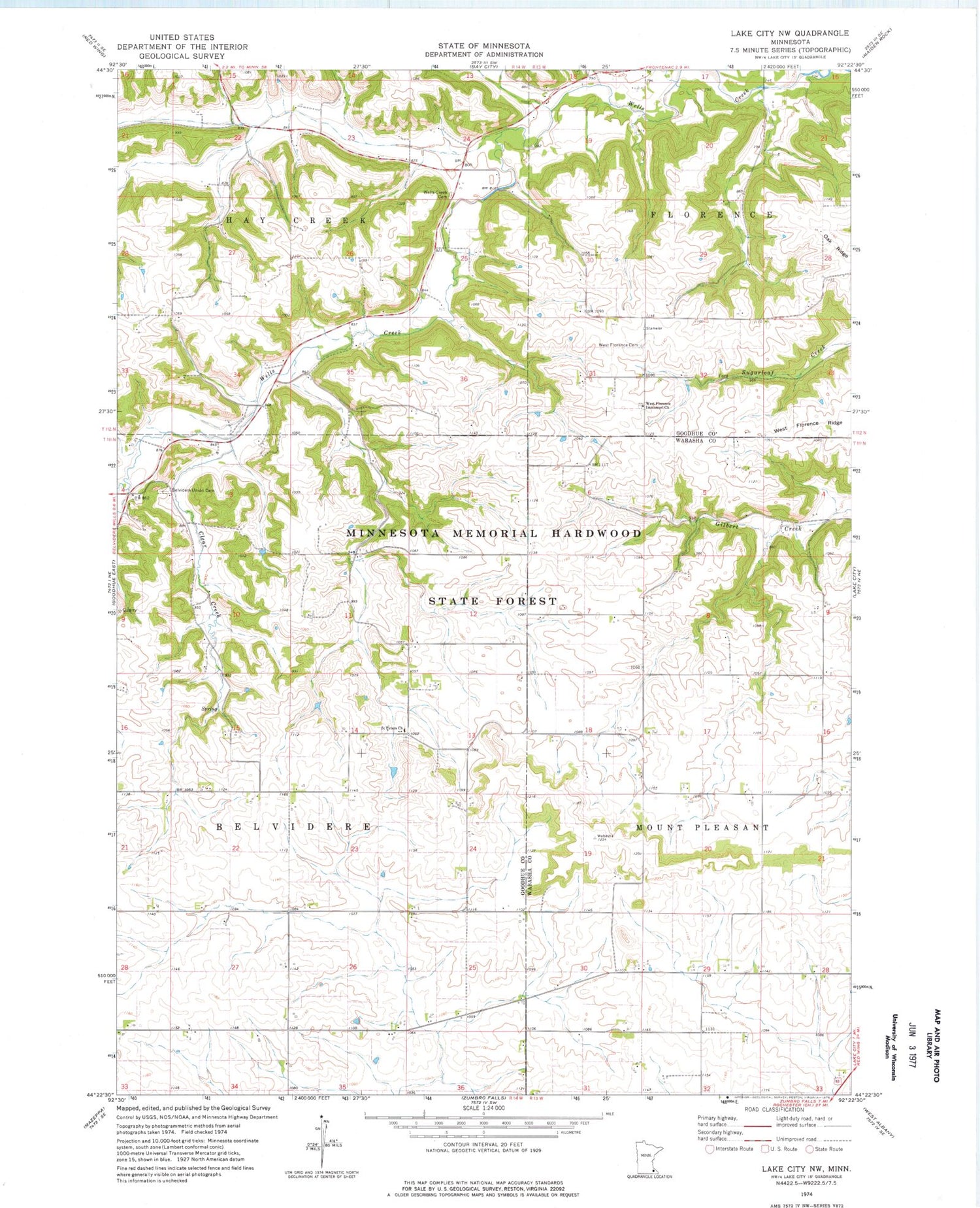
MyTopo
Classic USGS Lake City NW Minnesota 7.5'x7.5' Topo Map
Couldn't load pickup availability
Historical USGS topographic quad map of Lake City NW in the state of Minnesota. Map scale may vary for some years, but is generally around 1:24,000. Print size is approximately 24" x 27"
This quadrangle is in the following counties: Goodhue, Wabasha.
The map contains contour lines, roads, rivers, towns, and lakes. Printed on high-quality waterproof paper with UV fade-resistant inks, and shipped rolled.
Contains the following named places: Belvidere Union Cemetery, Clear Creek, Corles Private Cemetery, German Lutheran Cemetery, German Methodist Cemetery, Old German Evangelical Cemetery, R Rusch Dam, Saint Peters Church, Township of Belvidere, Township of Hay Creek, Wells Creek Cemetery, West Florence Cemetery, West Florence Immanuel Church