MyTopo
Classic USGS Lake Como Pennsylvania 7.5'x7.5' Topo Map
Couldn't load pickup availability
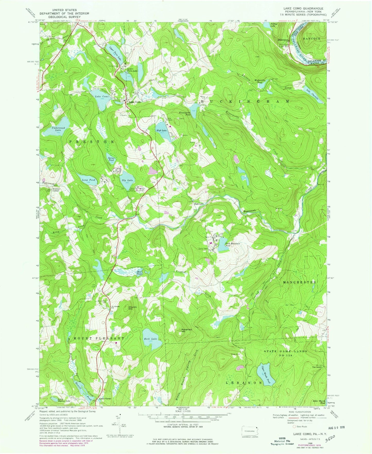
Historical USGS topographic quad map of Lake Como in the state of Pennsylvania. Typical map scale is 1:24,000, but may vary for certain years, if available. Print size: 24" x 27"
This quadrangle is in the following counties: Delaware, Wayne.
The map contains contour lines, roads, rivers, towns, and lakes. Printed on high-quality waterproof paper with UV fade-resistant inks, and shipped rolled.
Contains the following named places: Buckingham Access Point, Camp Geneva, Camp Onibar, Camp Tabor, Camp Tioga, Camp Wayne, Camp Winona, Lake Charlotte, Church Hill, Lake Como, Crooked Creek, Fork Mountain Pond, High Lake, Howell Pond, Kinneyville Creek, Kinneyville Pond, Lake Como, Little Biglow Lake, Long Pond, Lower Twin Lake, Mansfield Hill, Mud Pond, Riley Creek, Rock Lake, Saint Juliana's Cemetery, Saint Julianas Church, Sly Lake, Spruce Pond, State Game Lands Number 159, The Notch, Upper Twin Lake, Upper Woods Pond, Wallerville Pond, Lake Underwood Dam, Underwood Lake, Lake Hamilton Dam, Kinneyville Pond Dam, Lake Como Dam, Lower Twin Lake Dam, Rock Lake School (historical), Crosby School (historical), High Lake School (historical), Congo School (historical), East Spruce, Dillontown, High Lake, Preston Corner, Rudes Corner, Mount Tone Ski Area, Lake Charlotte Dam, Howell Pond Dam, Lower Twin Dam, Upper Twin Dam, Township of Buckingham, Northern Wayne Fire Company Station 3, Lake Como Post Office


