MyTopo
Classic USGS Lake Como Texas 7.5'x7.5' Topo Map
Couldn't load pickup availability
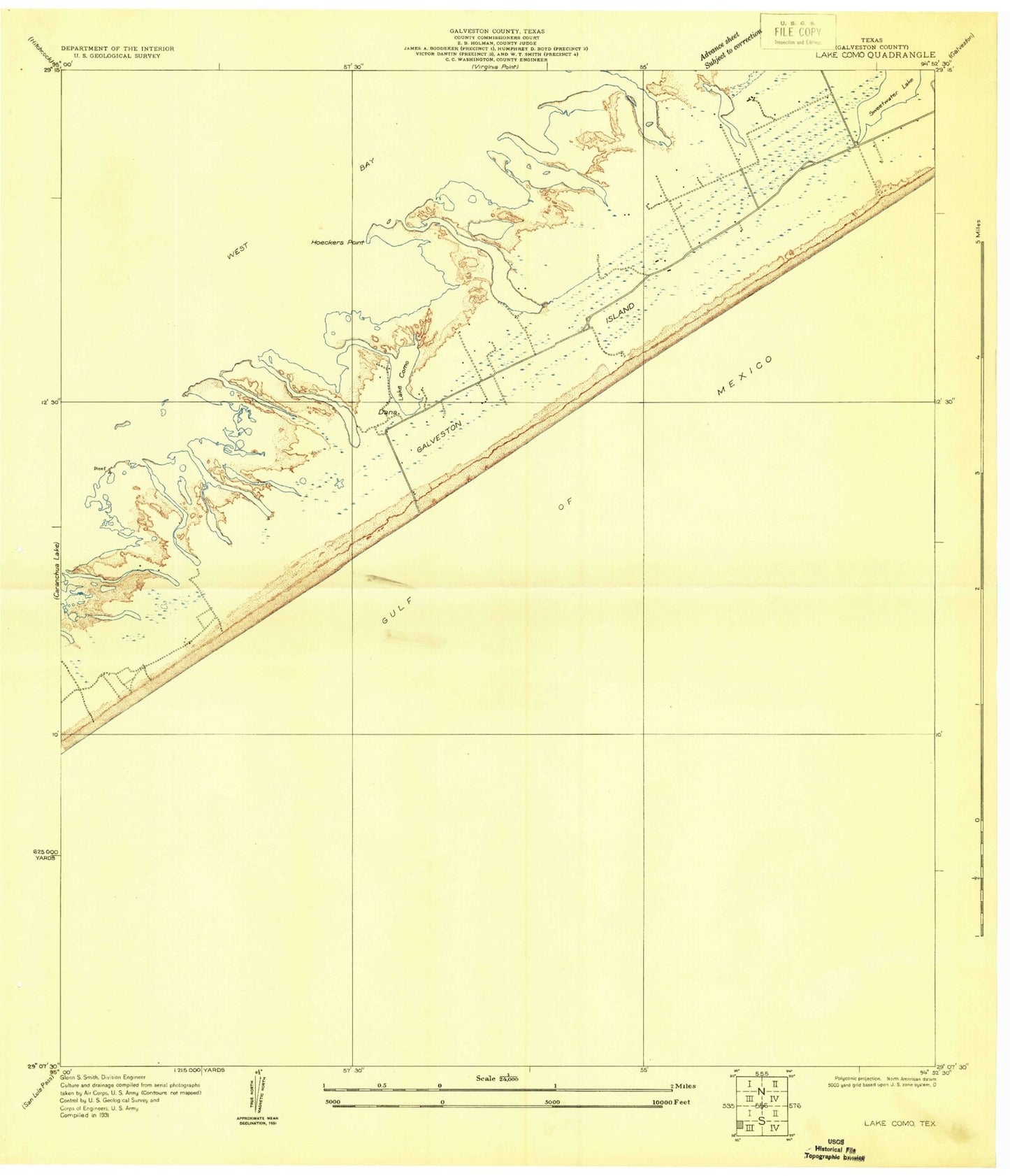
Historical USGS topographic quad map of Lake Como in the state of Texas. Map scale may vary for some years, but is generally around 1:24,000. Print size is approximately 24" x 27"
This quadrangle is in the following counties: Galveston.
The map contains contour lines, roads, rivers, towns, and lakes. Printed on high-quality waterproof paper with UV fade-resistant inks, and shipped rolled.
Contains the following named places: Bermuda Beach, Butterowe Bayou, Carancahua Cove, Carancahua Reef, City of Jamaica Beach, Dalehite Cove, Dana Cove, Eckert Bayou, Galveston County Health District - Galveston County Emergency Medical Service Station 4, Galveston Division, Galveston Fire Department Station 7, Galveston Island, Galveston Island State Park, Galveston Island State Park Trail, Ganas Bayou, Gangs Bayou, Hoeckers Point, Jamaica Beach, Jamaica Beach City Hall, Jamaica Beach Police Department, Jamaica Beach Volunteer Fire Department, Jumbile Cove, Lafitte Grove, Lake Como, Mary Moody Northern Amphitheater, Mary Star of the Sea Church, Melager Cove, Mentzel Bayou, Nottingham, Oak Bayou, Oxen Bayou, Palm Beach, Pirates Beach, Pirates Beach Marina, Pirates Cove, Sand Castle Beach Pocket Park 2, Sea Gull Shores Beach Pocket Park 1, Sea Shell Beach Pocket Park 3, Spanish Grant North, Spanish Grant South, Starvation Cove, The Ridge, West Beach, West Isle Church, West Isle Presbyterian Church


