MyTopo
Classic USGS Lake De Smet East Wyoming 7.5'x7.5' Topo Map
Regular price
$16.95
Regular price
Sale price
$16.95
Unit price
per
Couldn't load pickup availability
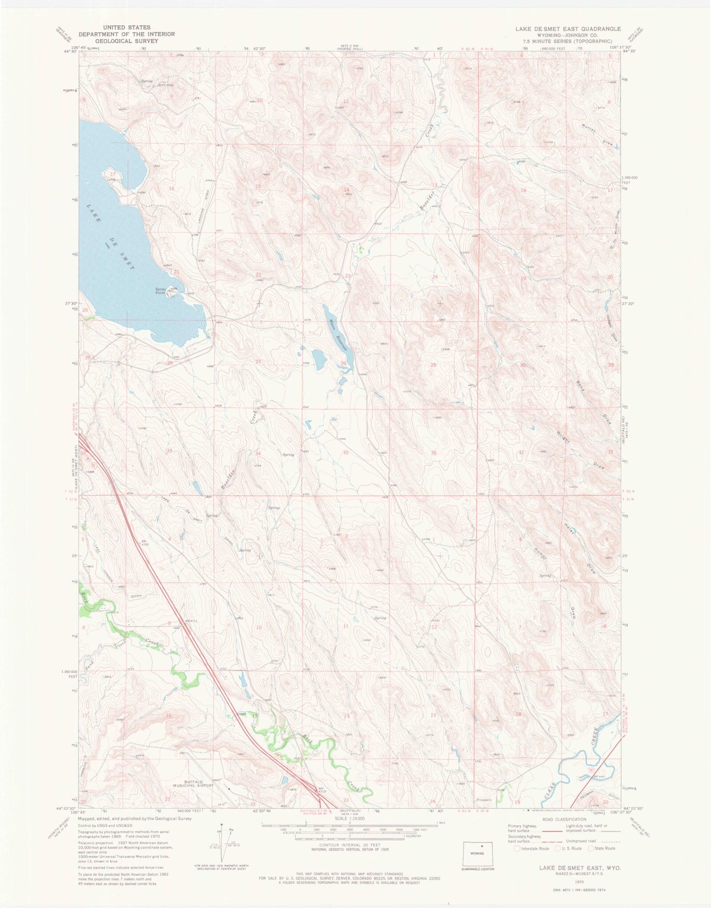
Historical USGS topographic quad map of Lake De Smet East in the state of Wyoming. Map scale may vary for some years, but is generally around 1:24,000. Print size is approximately 24" x 27"
This quadrangle is in the following counties: Johnson.
The map contains contour lines, roads, rivers, towns, and lakes. Printed on high-quality waterproof paper with UV fade-resistant inks, and shipped rolled.
Contains the following named places: City Pit, Husen Pit Number A, Husen Pit Number B, Huson Dam, Huson Reservoir, Johnson County Airport, Lake De Smet Mine, Last Chance Ditch, Moore Dam, Moore Reservoir, Redman Ditch, Sand Creek, Seney Point