MyTopo
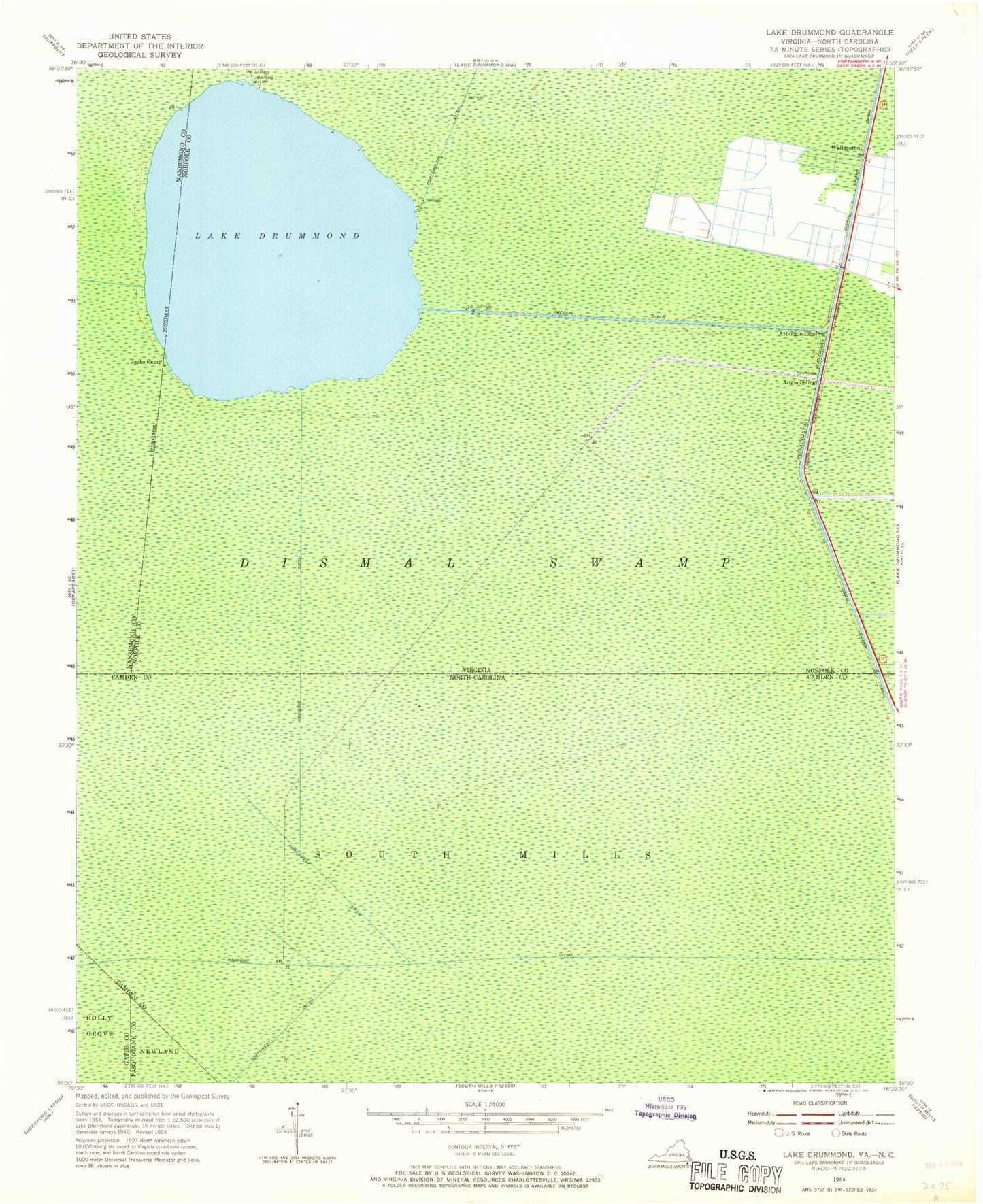
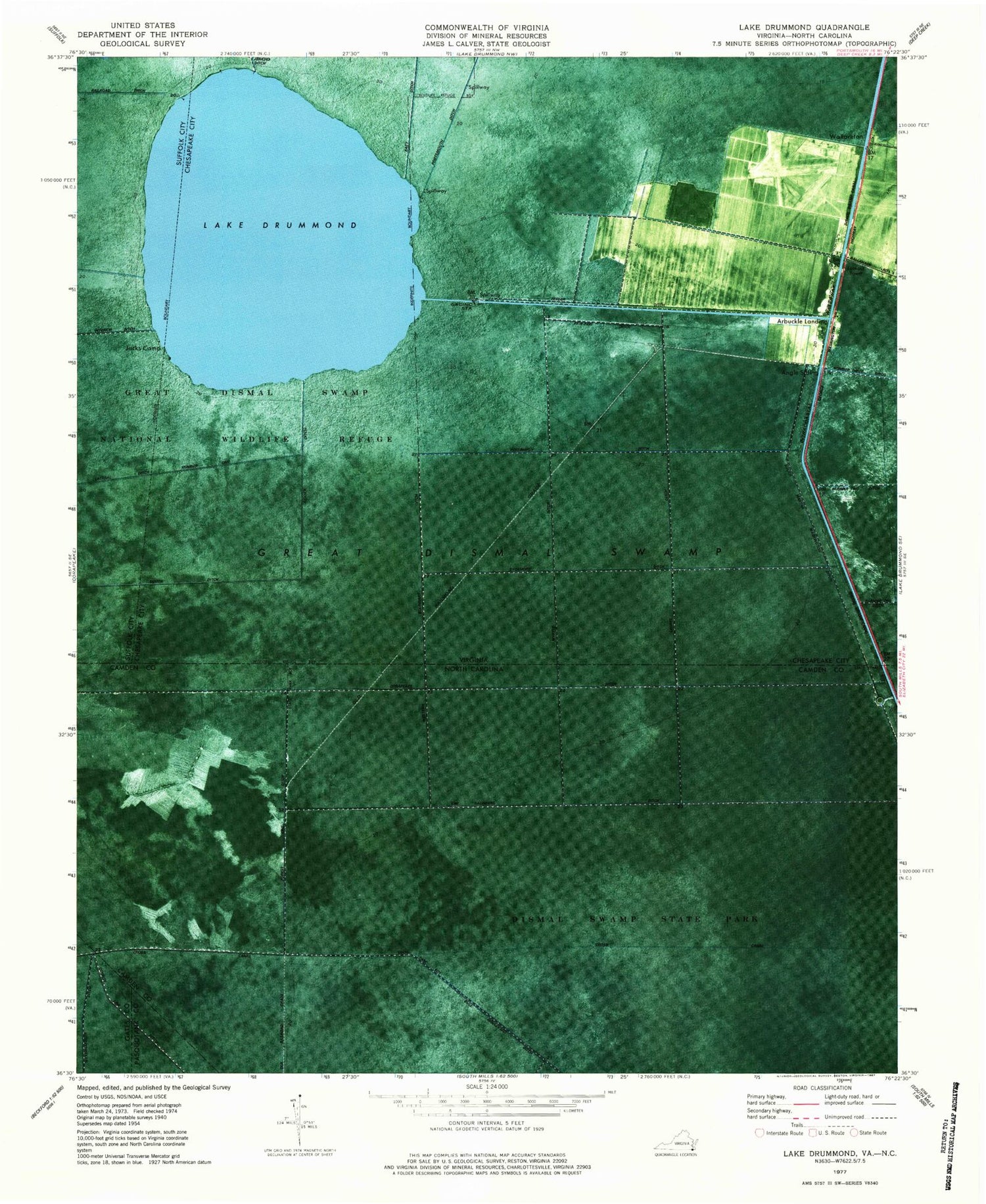
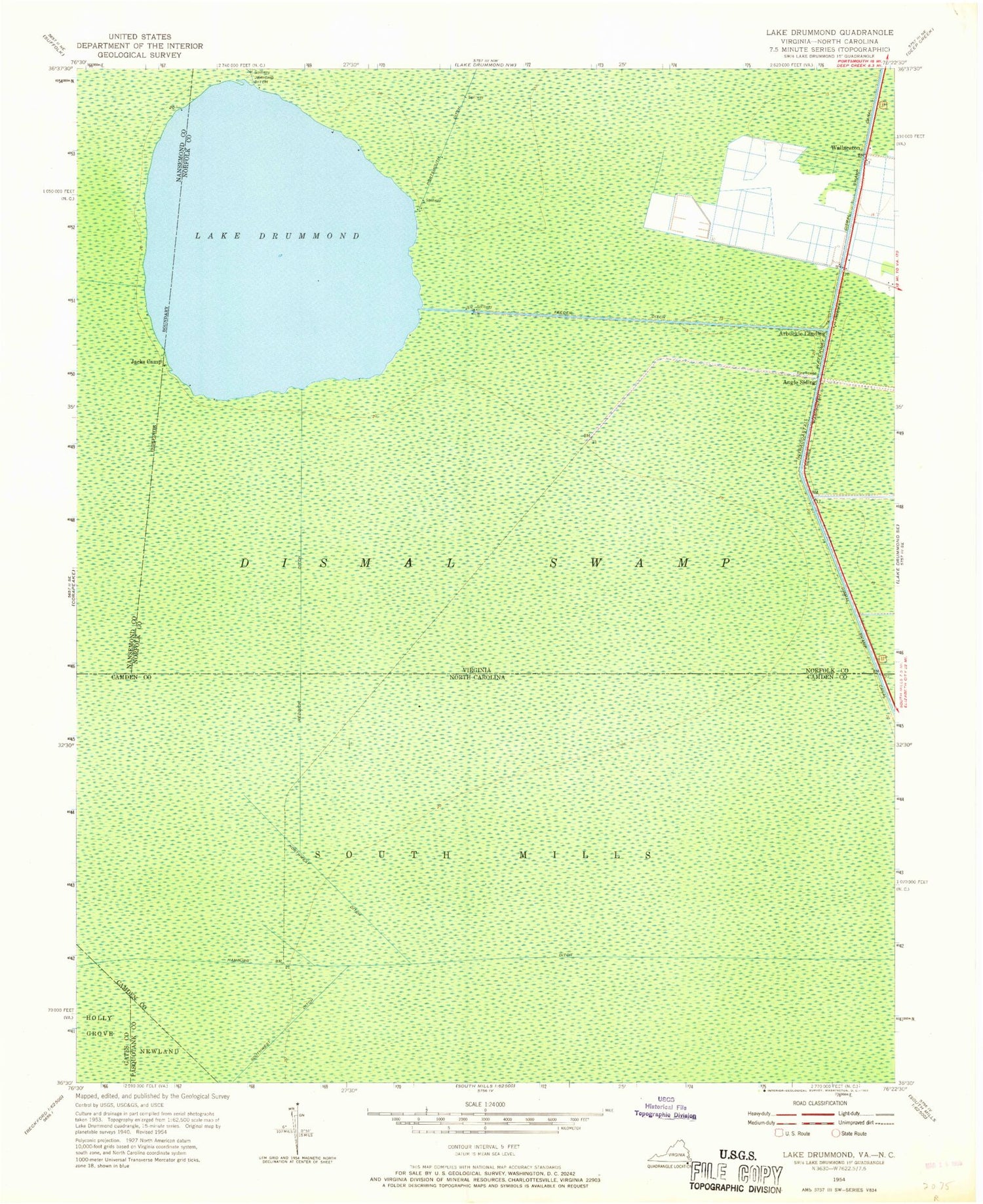
Classic USGS Lake Drummond Virginia 7.5'x7.5' Topo Map
Couldn't load pickup availability
Historical USGS topographic quad map of Lake Drummond in the states of Virginia, North Carolina. Typical map scale is 1:24,000, but may vary for certain years, if available. Print size: 24" x 27"
This quadrangle is in the following counties: Camden, Chesapeake (city), Gates, Pasquotank, Suffolk (city).
The map contains contour lines, roads, rivers, towns, and lakes. Printed on high-quality waterproof paper with UV fade-resistant inks, and shipped rolled.
Contains the following named places: Angle Siding, Lake Drummond, Feeder Ditch, Jacks Camp, Reddick Ditch, Wallaceton, Sycamore Ditch, South Ditch, Riddick Ditch, Lateral Ditch Number One, Corapeake Ditch, Great Dismal Swamp National Wildlife Refuge, Arbuckle Landing, Lake Drummond Dam, Dismal Swamp Canal, Western Boundary Ditch, Myrtle Ditch, Laurel Ditch, South Martha Washington Ditch, Paw-paw Ditch, Persimmon Ditch, Corapeake Ditch, Cross Canal, Forest Line Ditch, Kim Saunders Ditch, Bull Boulevard Ditch, County Line Ditch, Great Dismal Swamp, Weyerhaeuser Ditch, Dismal Swamp State Park