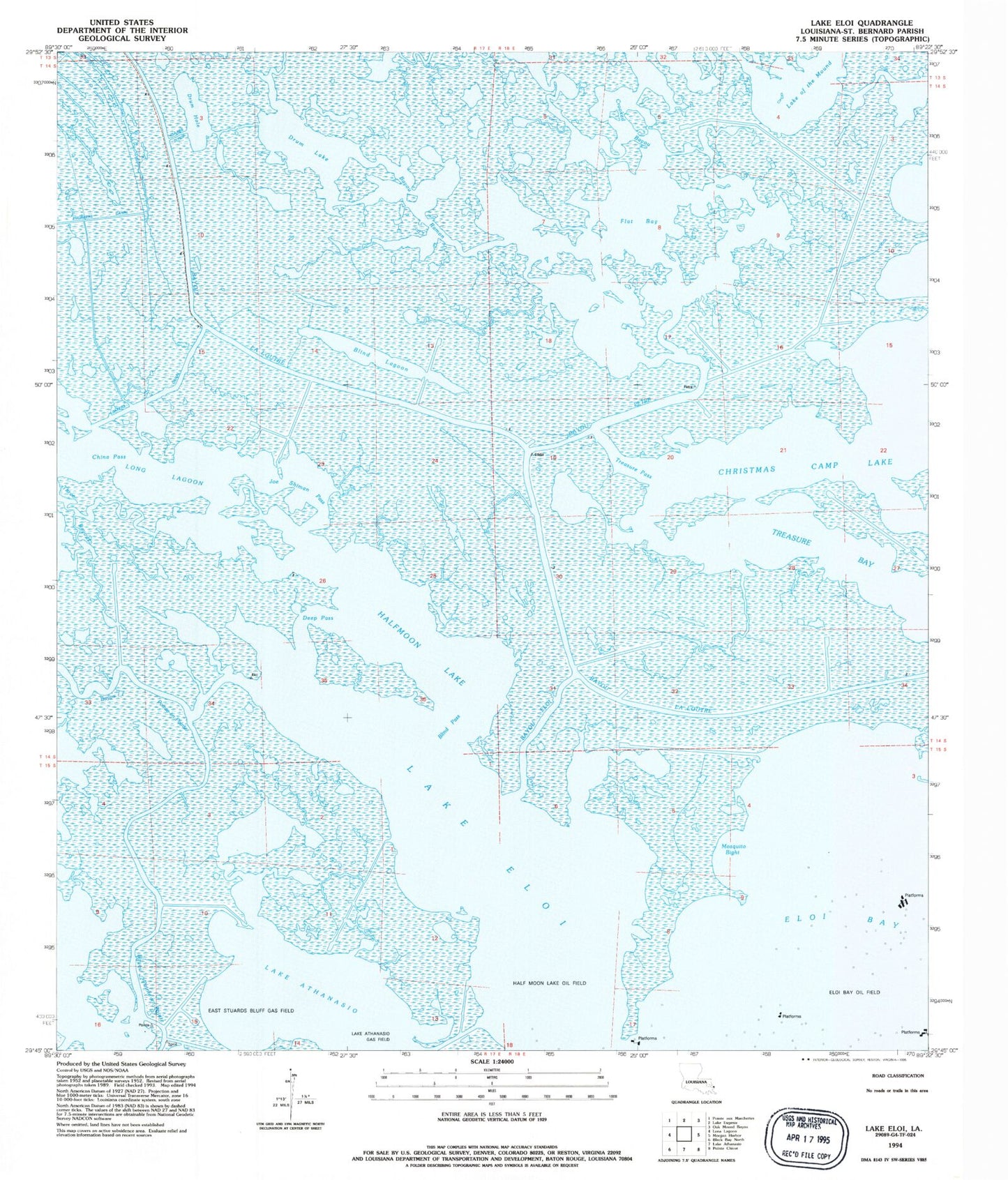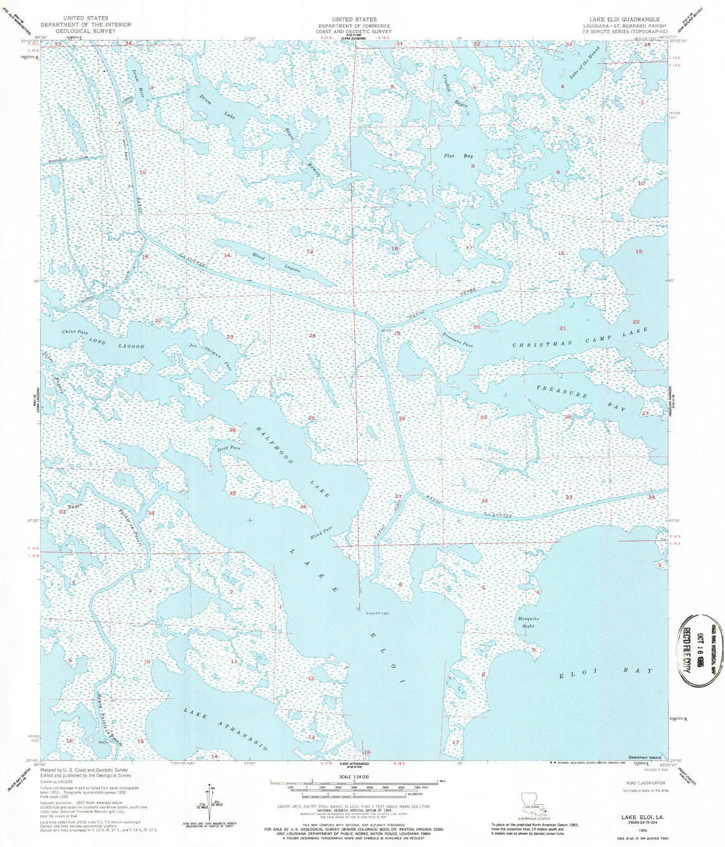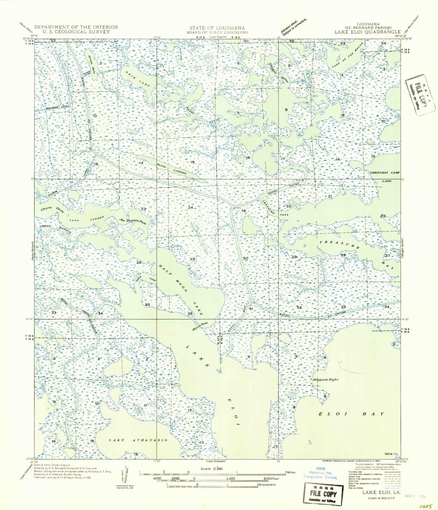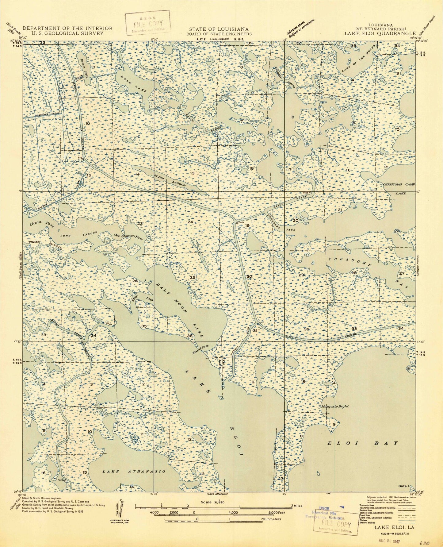


MyTopo
Classic USGS Lake Eloi Louisiana 7.5'x7.5' Topo Map
Couldn't load pickup availability
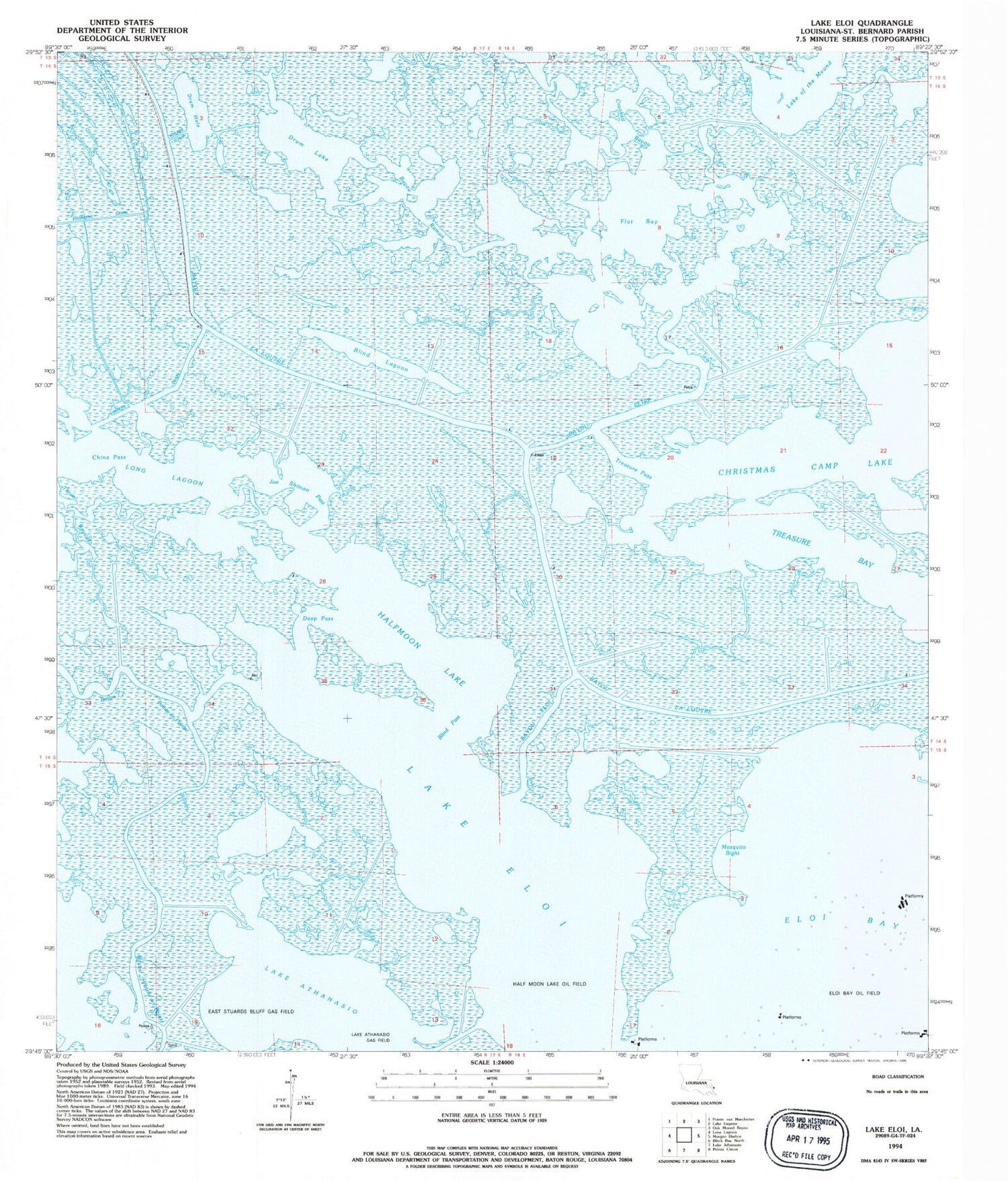
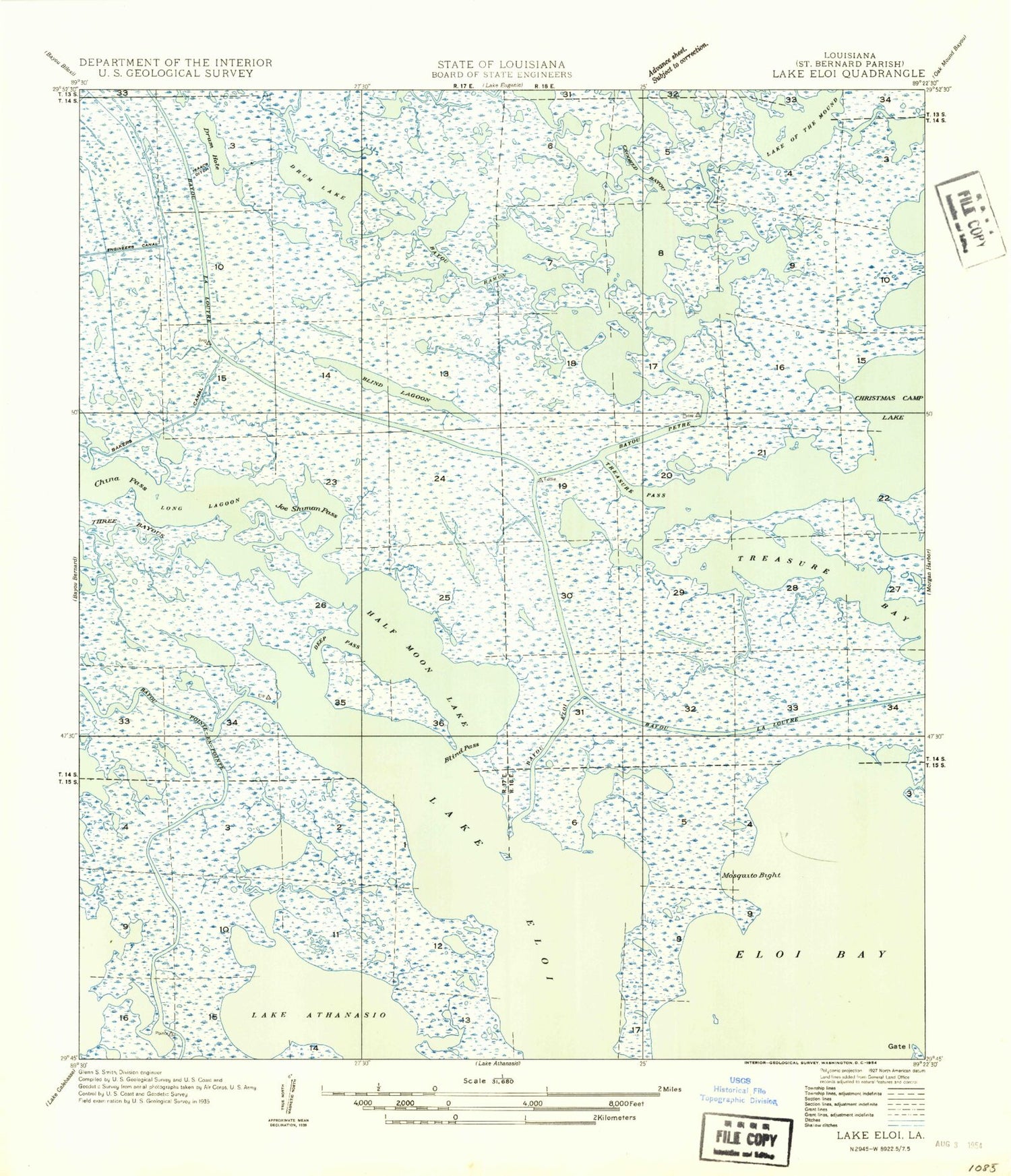
Historical USGS topographic quad map of Lake Eloi in the state of Louisiana. Map scale may vary for some years, but is generally around 1:24,000. Print size is approximately 24" x 27"
This quadrangle is in the following counties: St. Bernard.
The map contains contour lines, roads, rivers, towns, and lakes. Printed on high-quality waterproof paper with UV fade-resistant inks, and shipped rolled.
Contains the following named places: Bakers Canal, Bayou Eloi, Bayou la Loutre, Bayou Petre, Bayou Pointe-en-Pointe, Bayou Ramon, Blind Lagoon, Blind Pass, China Pass, Crooked Bayou, Deep Pass, Drum Hole, Drum Lake, Eloi Bay Oil and Gas Fields, Flat Bay, Greens Bayou, Halfmoon Lake, Isaacs Ditch, Joe Shiman Pass, Lake Eloi, Long Lagoon, Mosquito Bight, Three Bayous, Treasure Bay, Treasure Pass