MyTopo
Classic USGS Lake Eucha West Oklahoma 7.5'x7.5' Topo Map
Couldn't load pickup availability
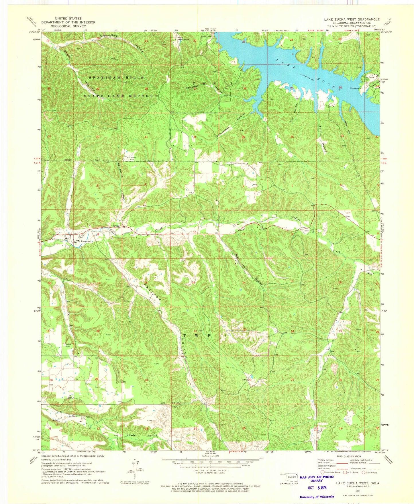
Historical USGS topographic quad map of Lake Eucha West in the state of Oklahoma. Typical map scale is 1:24,000, but may vary for certain years, if available. Print size: 24" x 27"
This quadrangle is in the following counties: Delaware.
The map contains contour lines, roads, rivers, towns, and lakes. Printed on high-quality waterproof paper with UV fade-resistant inks, and shipped rolled.
Contains the following named places: Ben Smith Hollow, Big Acorn Hollow, Estelle Church, Fairview Hollow, Galcatcher Hollow, Groundhog Hollow, Hail Hollow, Hider Hollow, Lane Hollow, Old Eucha Cemetery, Proctor Hollow, Soldier Hollow, Spade Hollow, Spavinaw Hills State Game Refuge, Welch Prairie Cemetery, Kenwood, Refuge Headquaters, Public Hunting Area, Kenwood Elementary School, Bull Hollow, Old Eucha, Tagg Flats, Kansas Division, Bull Hollow Census Designated Place, Old Eucha Census Designated Place, Tagg Flats Census Designated Place, Kenwood Census Designated Place, Bull Hollow, Kenwood, Old Eucha, Tagg Flats, Kenwood Volunteer Fire Department, Euwasha Cemetery