MyTopo
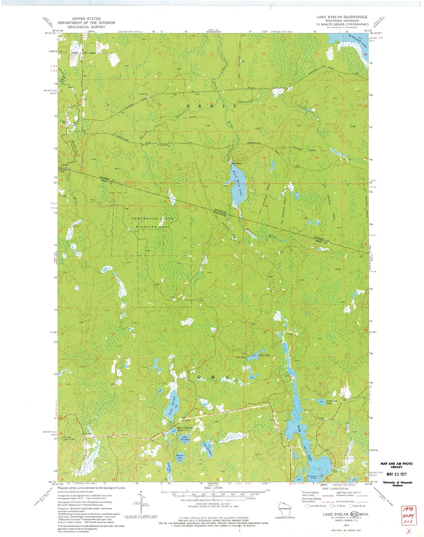
Classic USGS Lake Evelyn Wisconsin 7.5'x7.5' Topo Map
Couldn't load pickup availability
Historical USGS topographic quad map of Lake Evelyn in the states of Wisconsin, Michigan. Map scale may vary for some years, but is generally around 1:24,000. Print size is approximately 24" x 27"
This quadrangle is in the following counties: Gogebic, Iron.
The map contains contour lines, roads, rivers, towns, and lakes. Printed on high-quality waterproof paper with UV fade-resistant inks, and shipped rolled.
Contains the following named places: American Lake, Barrel Spring Lake, Bass Lake, Beaver Lake, Black River Lake, Horseshoe Island, Lake Barbara, Lake Dorothy, Lake Evelyn, Lake Evelyn State Natural Area, Lake Ten, Laymans Creek, Long Lake, Mosinee Lumber Camp, Pine Lake Lookout Tower, Pork And Beans Lake, South Fork Black River, Town of Oma, Underwood Creek, Underwood State Wildlife Area, Virgin Creek, Wester Creek