
MyTopo
Classic USGS Lake Fork Mountain Utah 7.5'x7.5' Topo Map
Couldn't load pickup availability
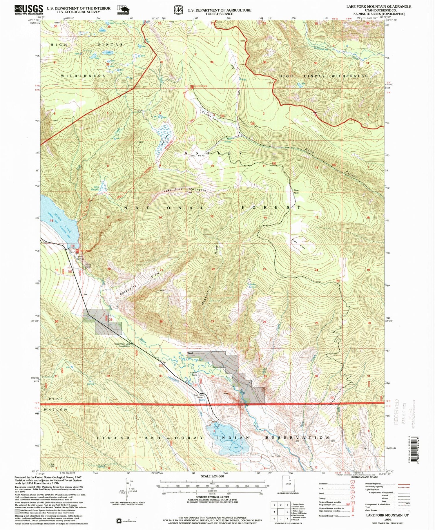
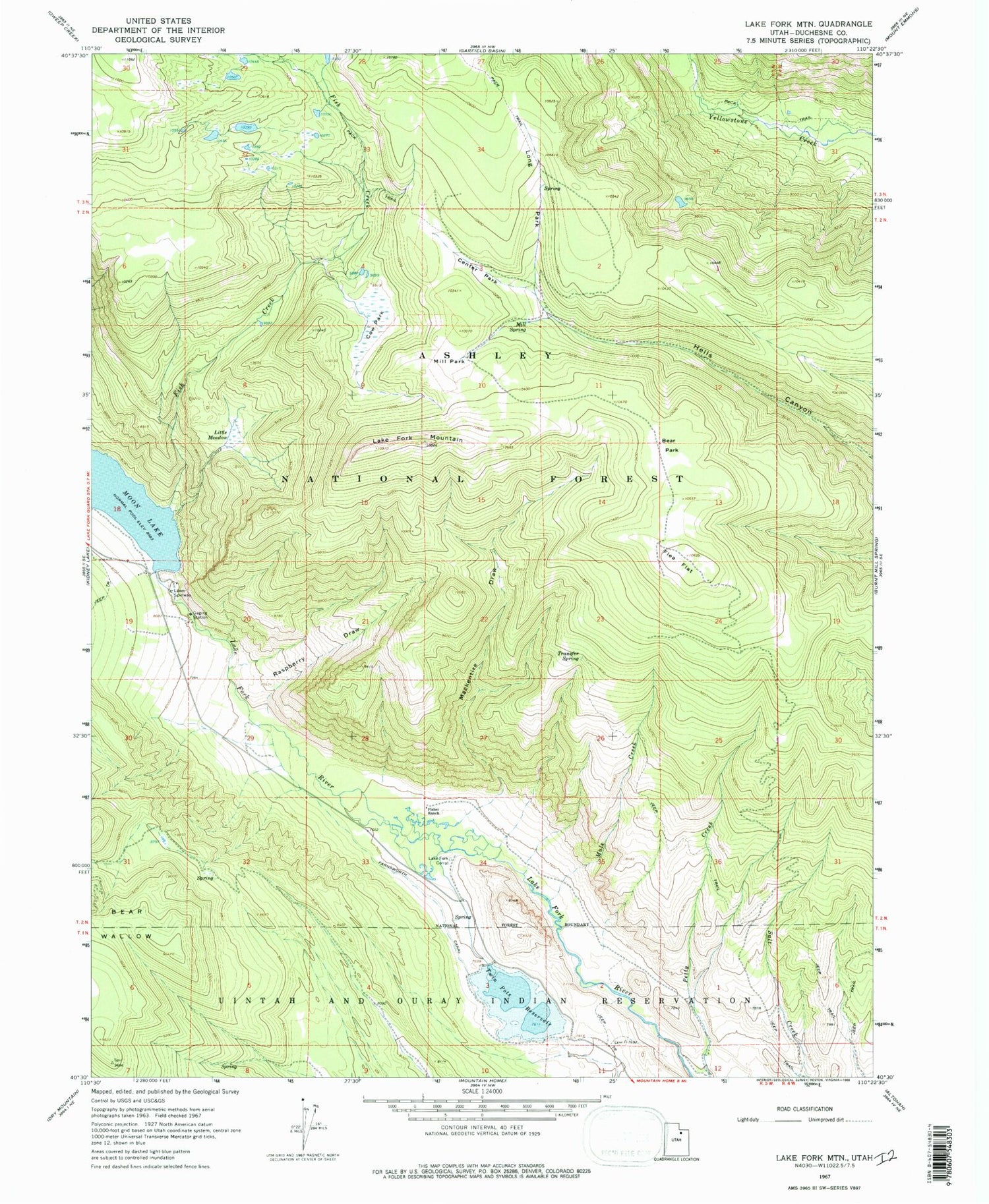
Historical USGS topographic quad map of Lake Fork Mountain in the state of Utah. Map scale may vary for some years, but is generally around 1:24,000. Print size is approximately 24" x 27"
This quadrangle is in the following counties: Duchesne.
The map contains contour lines, roads, rivers, towns, and lakes. Printed on high-quality waterproof paper with UV fade-resistant inks, and shipped rolled.
Contains the following named places: Bear Park, Bear Wallow, Beaver Dam Campground, Center Park, Cow Park, Fish Creek, Fish Creek National Recreation Trail, Fisher Ranch, Flea Flat, Lake Fork Corral, Lake Fork Mountain, Little Meadow, Long Park, Mackentire Draw, McKune Spring, Mill Park, Mill Spring, Moon Lake Dam, Moon Lake Resort, Mule Creek, Raspberry Draw, Transfer Spring, Twin Pats Bridge, Twin Pots Dam, Twin Pots Reservoir, Upper Moon Lake Canal Bridge


