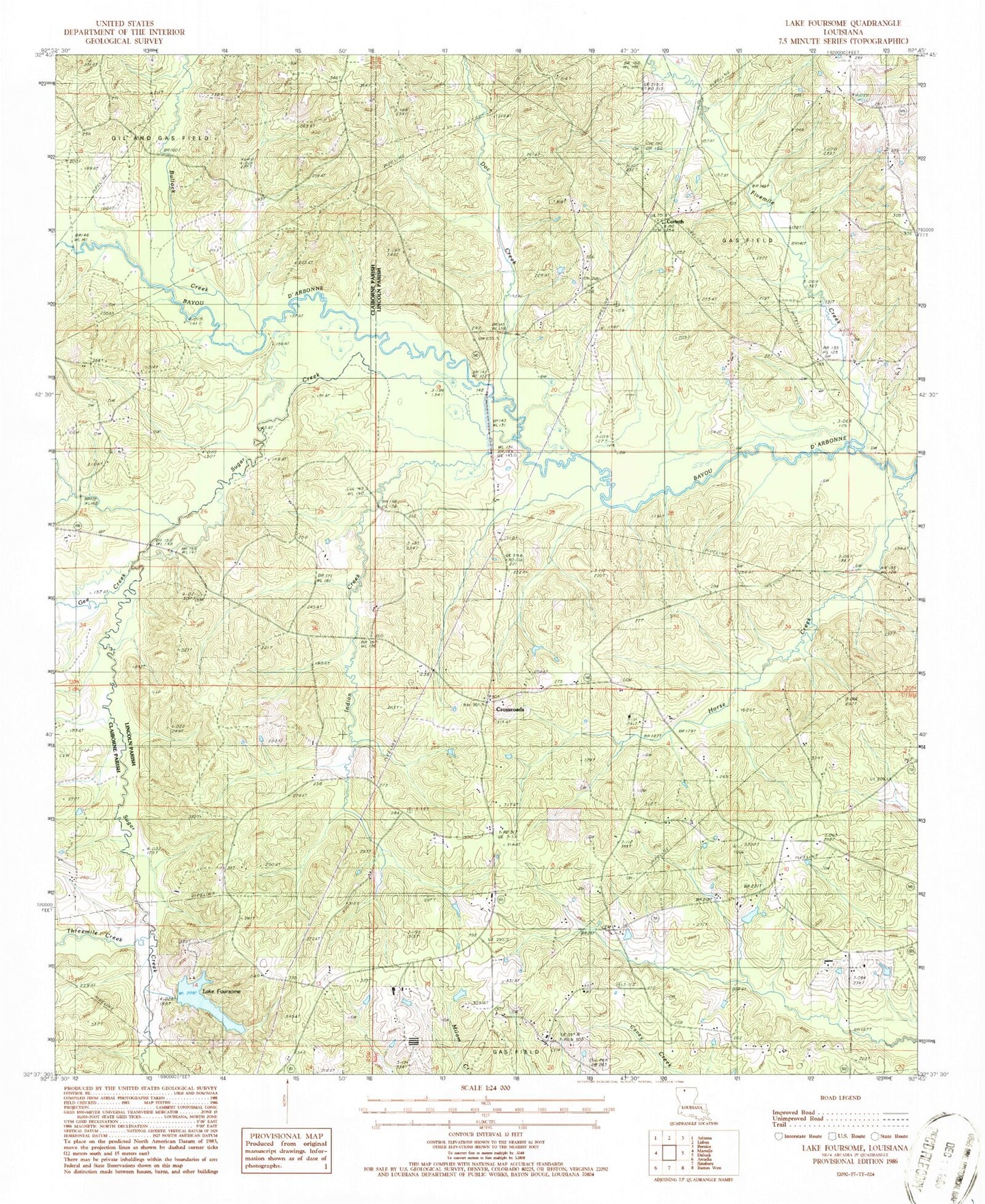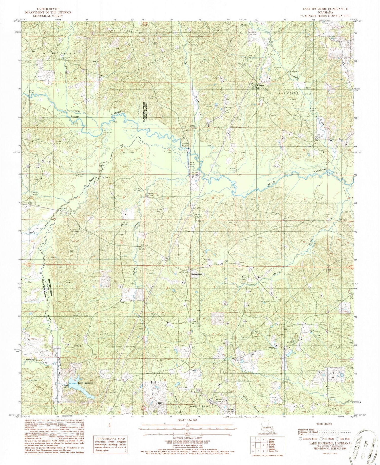
MyTopo
Classic USGS Lake Foursome Louisiana 7.5'x7.5' Topo Map
Couldn't load pickup availability
Historical USGS topographic quad map of Lake Foursome in the state of Louisiana. Map scale may vary for some years, but is generally around 1:24,000. Print size is approximately 24" x 27"
This quadrangle is in the following counties: Claiborne, Lincoln.
The map contains contour lines, roads, rivers, towns, and lakes. Printed on high-quality waterproof paper with UV fade-resistant inks, and shipped rolled.
Contains the following named places: Alligator Hole, Bennett Grove School, Blooming Hill School, Brazells Bridge, Bullock Creek, Corinth, Corinth Baptist Church, Crossroads, Doc Creek, Feasterville, Fivemile Creek, Gee Creek, Horse Creek, Indian Creek, Knowles, Lake Foursome, Liberty Hill, Liberty Hill Missionary Baptist Church, Liberty Hill School, Lloyd School, Louisville School, Noble School, Petty Lake Bend, Roger School, Saint Rest Baptist Church, Salem United Methodist Church, Sugar Creek, Terryville Gas Field, Threemile Creek