MyTopo
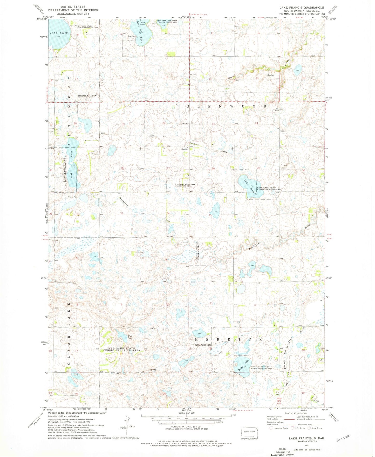
Classic USGS Lake Francis South Dakota 7.5'x7.5' Topo Map
Couldn't load pickup availability
Historical USGS topographic quad map of Lake Francis in the state of South Dakota. Map scale may vary for some years, but is generally around 1:24,000. Print size is approximately 24" x 27"
This quadrangle is in the following counties: Deuel.
The map contains contour lines, roads, rivers, towns, and lakes. Printed on high-quality waterproof paper with UV fade-resistant inks, and shipped rolled.
Contains the following named places: Briggs Lake, Briggs Lake State Public Shooting Area, Cadwell School, Lake Francis, Lake Francis State Public Shooting Area, Lone Tree Lake, Moritz, Moritz School, Mud Lake, Mud Lake State Public Shooting Area, Rush Lake, Rush Lake State Public Shooting Area, Stone's Conservation Airport, Township of Glenwood, Township of Herrick, ZIP Code: 57237