MyTopo
Classic USGS Lake George Michigan 7.5'x7.5' Topo Map
Couldn't load pickup availability
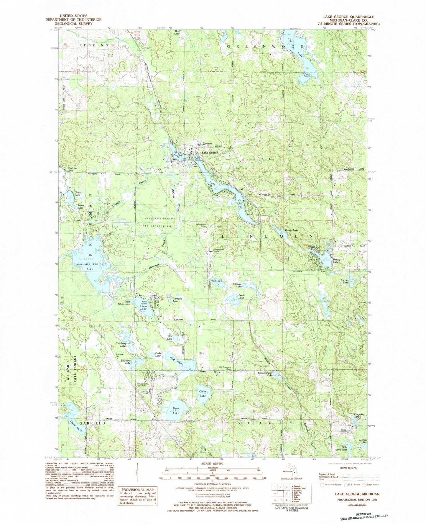
Historical USGS topographic quad map of Lake George in the state of Michigan. Map scale may vary for some years, but is generally around 1:24,000. Print size is approximately 24" x 27"
This quadrangle is in the following counties: Clare.
The map contains contour lines, roads, rivers, towns, and lakes. Printed on high-quality waterproof paper with UV fade-resistant inks, and shipped rolled.
Contains the following named places: Bear Lake, Bertha Lake, Bungo Lake, Clear Lake, Community Church, Cranberry Lakes, Doc and Tom Lake, Dollar Lake, Eureka Lake, Freeman Cemetery, Furgeson Lake, Grass Lake, Half Moon Lake, Hemlock Creek, Hemlock Lake, Johnny Lake, Kilborne Lake, Lake George, Lake George Campground, Lake George Post Office, Lake George Station, Liberty Baptist Church, Lily Lake, Lincoln Township Cemetery, Lincoln Township Fire Department, Lincoln Township Hall, Little Loon Lake, Little Silver Lake, Old Township Cemetery, Owl Lake, Perch Lake, Phelps, Phelps Station, Rock Lake Christian Assembly, Shingle Creek, Shingle Lake, Shingle Lake Park, Shoonemaker Lake, Silver Lake, Three Lake, Townline Lake, Township of Lincoln, Turbush Lake, Windover Lake, ZIP Code: 48633


