MyTopo
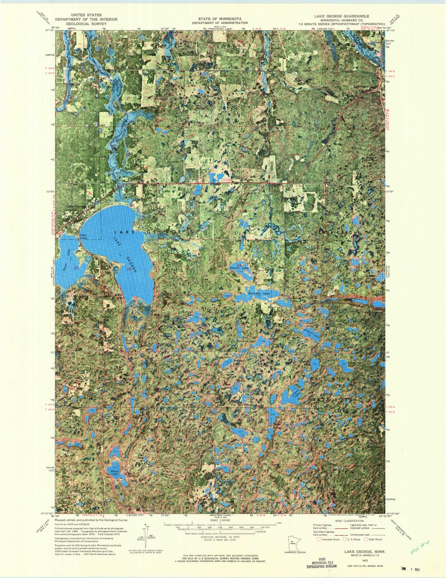
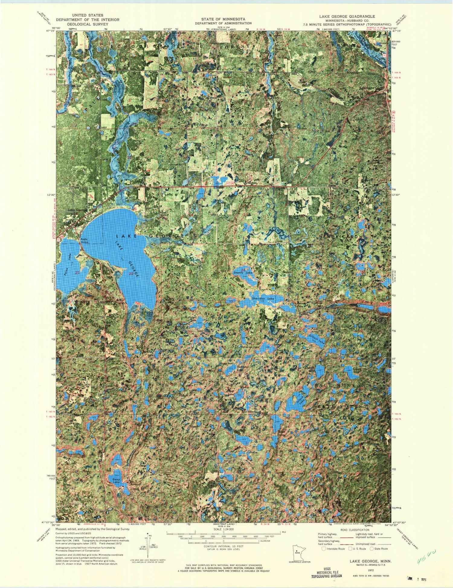
Classic USGS Lake George Minnesota 7.5'x7.5' Topo Map
Couldn't load pickup availability
Historical USGS topographic quad map of Lake George in the state of Minnesota. Typical map scale is 1:24,000, but may vary for certain years, if available. Print size: 24" x 27"
This quadrangle is in the following counties: Hubbard.
The map contains contour lines, roads, rivers, towns, and lakes. Printed on high-quality waterproof paper with UV fade-resistant inks, and shipped rolled.
Contains the following named places: Beaver Lake, Bend Lake, Camp Lake, Coon Lake, Crappie Lake, Deep Lake, Lake George, Gillett Lake, Halverson Lake, Island Lake, Kahlstorf Lake, Lake George, Long Lake, McCarty Lake, Paine Lake, Shanty Lake, Sheridan Lake, Spur Lakes, Tepee Lakes, Whiting Lake, Camp Lake, Kabekona Corner, Kabekona Lookout Tower, KLLR-FM (Walker), Township of Lake George, Niawa Railroad Station (historical), Niawa Post Office (historical), Kabekona Post Office (historical), Ken and Debi Lathrop Mobile Home Park, Lake George Pines Mobile Home Park, Lake George Post Office, Lake George Police Department, Lake George Bible Chapel, Trinity Lutheran Church, Lake George Census Designated Place, Lake George Fire Department


