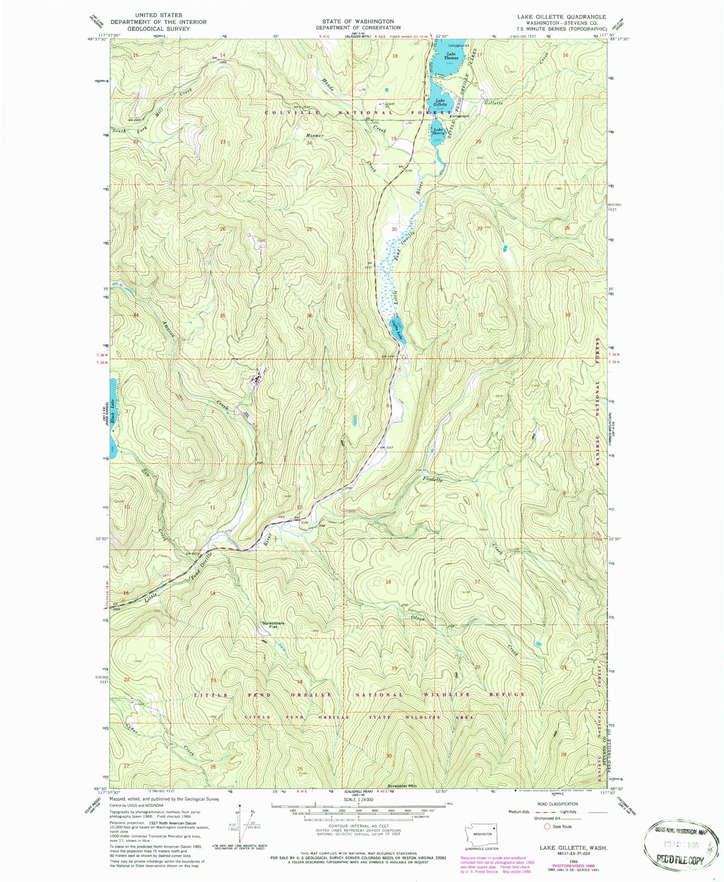
MyTopo
Classic USGS Lake Gillette Washington 7.5'x7.5' Topo Map
Couldn't load pickup availability
Historical USGS topographic quad map of Lake Gillette in the state of Washington. Map scale may vary for some years, but is generally around 1:24,000. Print size is approximately 24" x 27"
This quadrangle is in the following counties: Pend Oreille, Stevens.
The map contains contour lines, roads, rivers, towns, and lakes. Printed on high-quality waterproof paper with UV fade-resistant inks, and shipped rolled.
Contains the following named places: Amazon Creek, Coffin Lake, Colville Air Force Station, Flodelle Campground, Flodelle Creek, Gap Creek, Gillette Creek, Gillette Lake, Gillette Recreation Area, Hande Creek, Hande Meadow, Hosmer Creek, Lake Thomas, Lake Thomas Campground, Little Pend Oreille Information Site, Middleport, Middleport Post Office, Olson Creek, Scrabblers Flat, Sherry Lake, Sherry Lake Dam, Spruce Canyon Youth Camp, Stevens County Fire District 9 - Little Pend Orielle Lakes