MyTopo
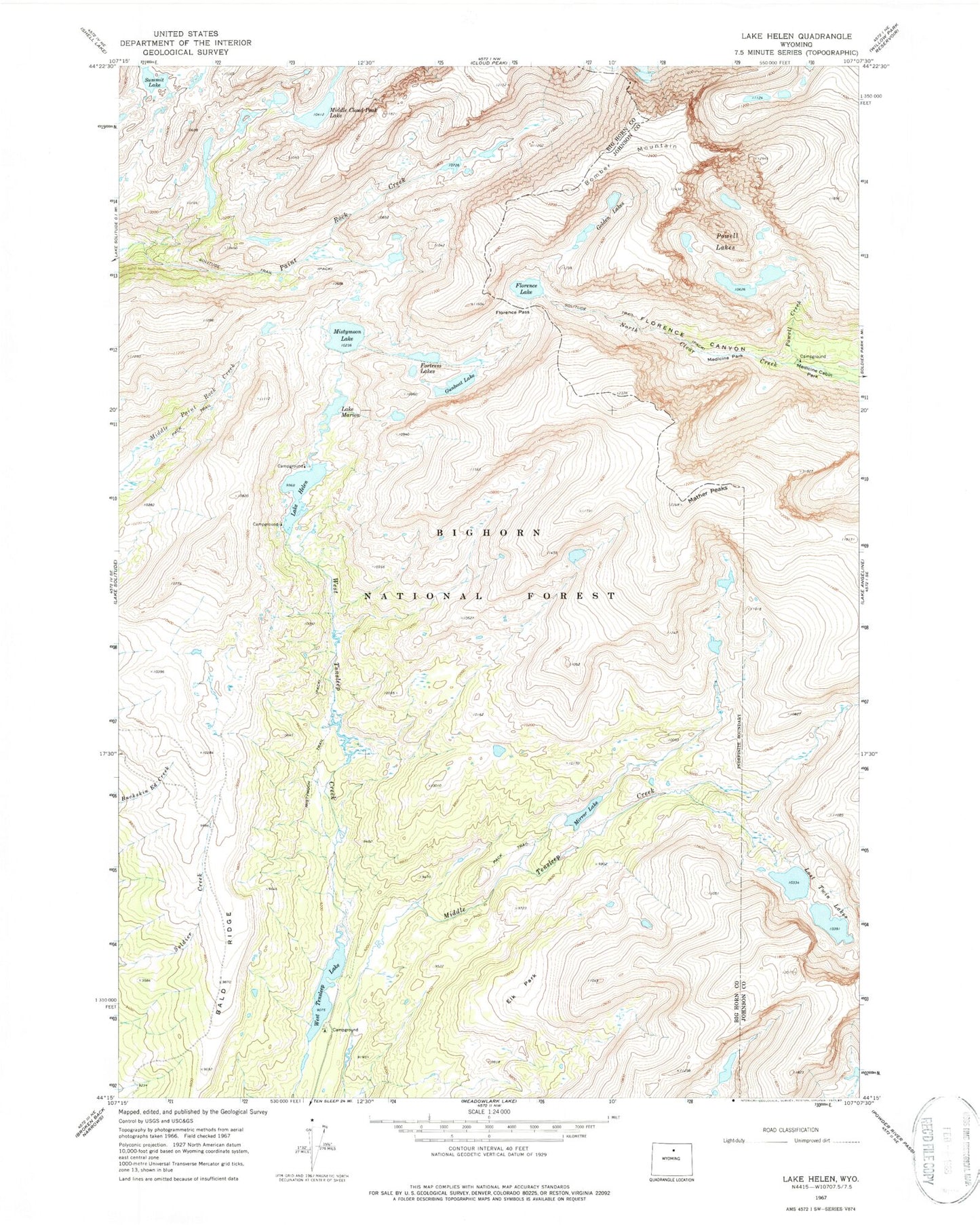
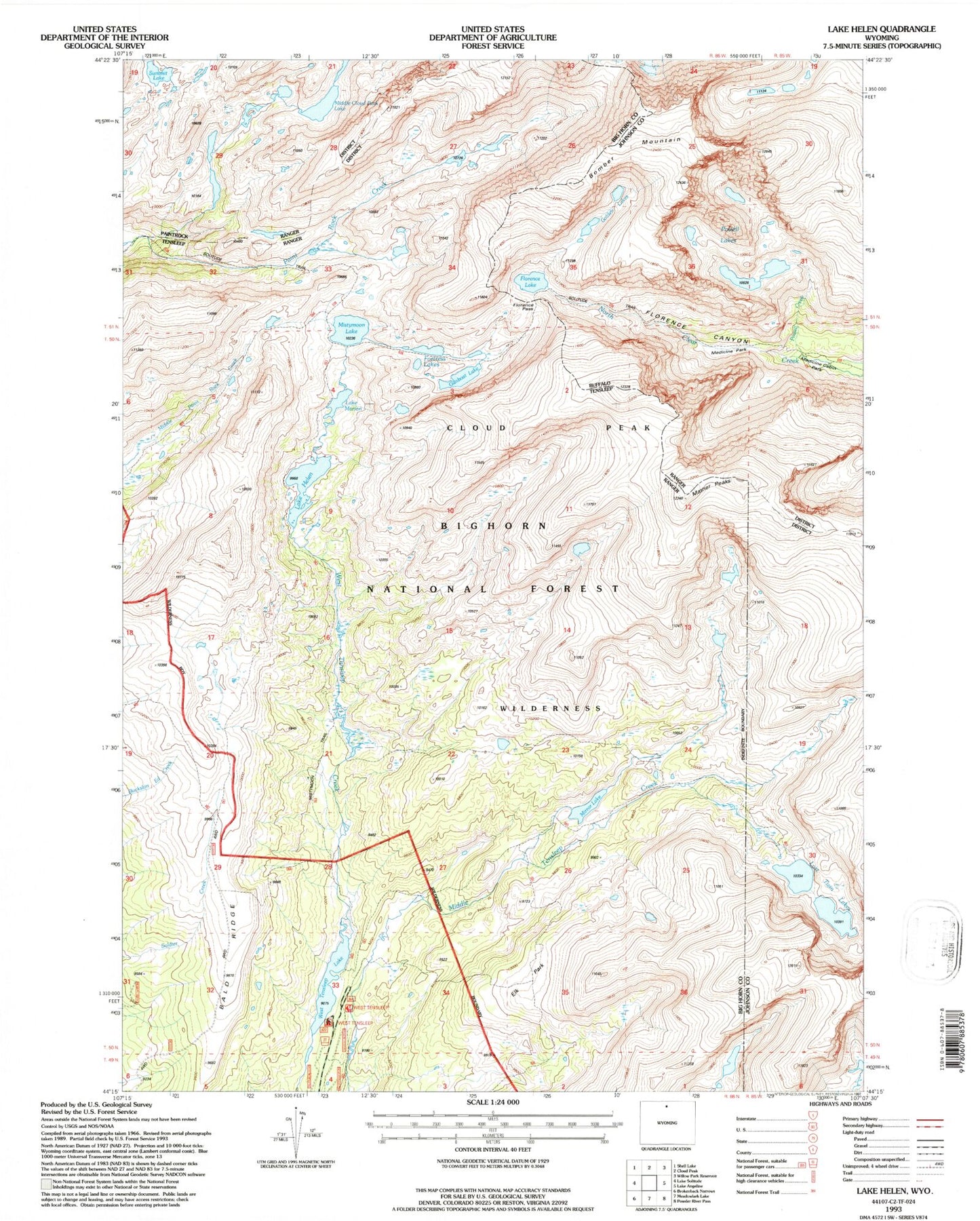
USGS Classic Lake Helen Wyoming 7.5'x7.5' Topo Map
Couldn't load pickup availability
Historical USGS topographic quad map of Lake Helen in the state of Wyoming. Scale: 1:24000. Print size: 24" x 27"
This quadrangle is in the following counties: Big Horn, Johnson.
The map contains contour lines, roads, rivers, towns, lakes, and grids including latitude / longitude and UTM / MGRS. Printed on high-quality waterproof paper with UV fade-resistant inks.
Contains the following named places: Bomber Mountain, Elk Park, Florence Canyon, Florence Lake, Florence Pass, Fortress Lakes, Golden Lakes, Gunboat Lake, Lake Helen, Lost Twin Lakes, Lake Marion, Mather Peaks, Medicine Cabin Park, Middle Cloud Peak Lake, Mirror Lake, Mistymoon Lake, Powell Creek, Powell Lakes, Bald Ridge, Summit Lake, West Tensleep Lake, Mistymoon Trail, Medicine Park, West Tensleep Campground