MyTopo
Classic USGS Lake Holdenville Oklahoma 7.5'x7.5' Topo Map
Couldn't load pickup availability
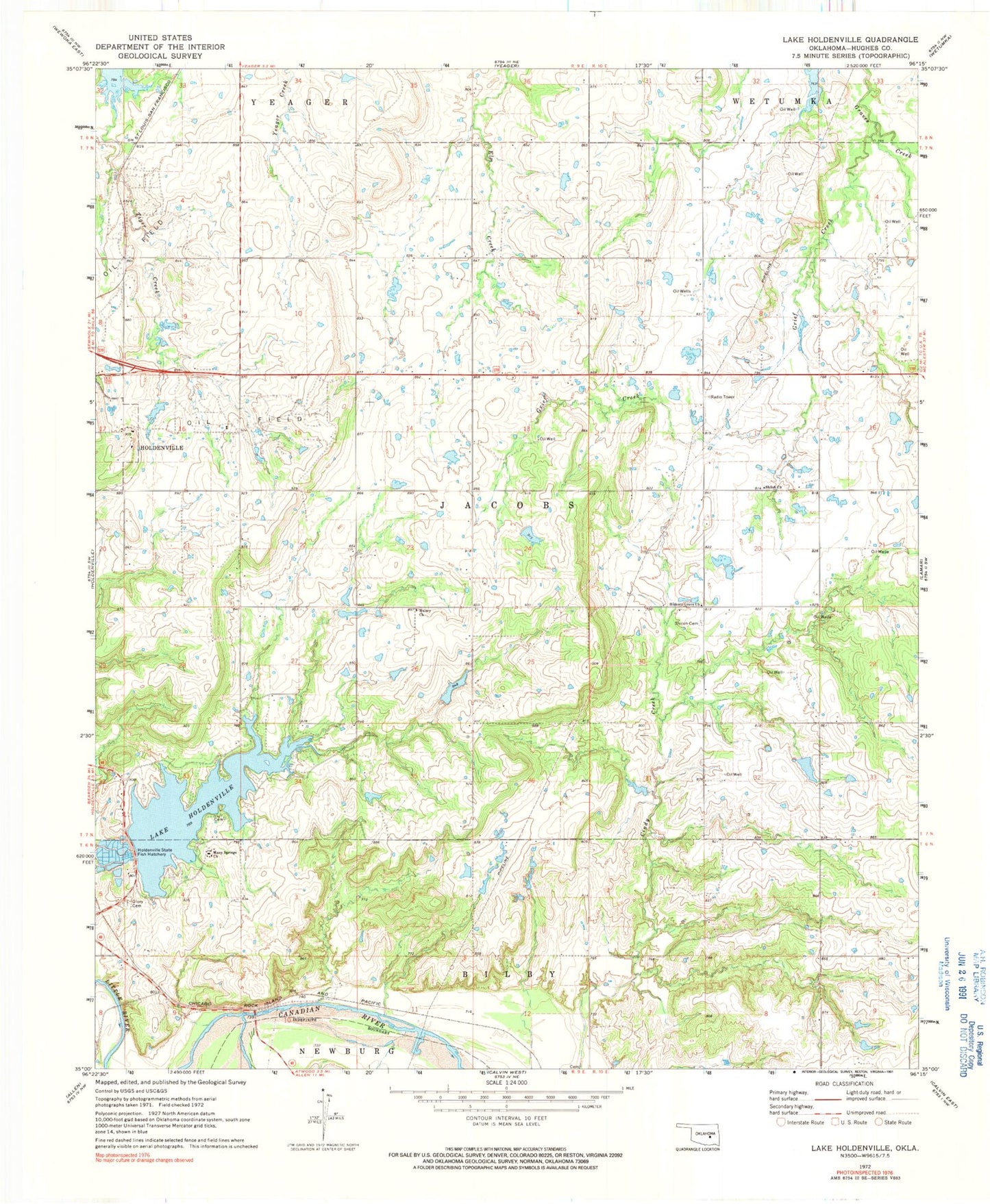
Historical USGS topographic quad map of Lake Holdenville in the state of Oklahoma. Map scale may vary for some years, but is generally around 1:24,000. Print size is approximately 24" x 27"
This quadrangle is in the following counties: Hughes.
The map contains contour lines, roads, rivers, towns, and lakes. Printed on high-quality waterproof paper with UV fade-resistant inks, and shipped rolled.
Contains the following named places: Fort Holmes, Glory Cemetery, Grief Creek, Hickory Grove Church, Holdenville City Dam, Holdenville City Lake, Holdenville Division, Holdenville State Fish Hatchery, Hughes County, Hulsey Church, Lake Holdenville, Many Springs Church, Oknoname 063019 Dam, Oknoname 063019 Reservoir, Oknoname 063020 Dam, Oknoname 063020 Reservoir, Oknoname 063021 Dam, Oknoname 063021 Reservoir, Oknoname 063022 Dam, Oknoname 063022 Reservoir, Oknoname 063024 Dam, Oknoname 063024 Reservoir, Oknoname 063029 Dam, Oknoname 063029 Reservoir, Oknoname 063030 Dam, Oknoname 063030 Reservoir, Shiloh Cemetery, Shiloh Church, Stubblefield Cemetery, Township of Jacobs, ZIP Code: 74848