MyTopo
Classic USGS Lake Ingraham East Florida 7.5'x7.5' Topo Map
Regular price
$16.95
Regular price
Sale price
$16.95
Unit price
per
Couldn't load pickup availability
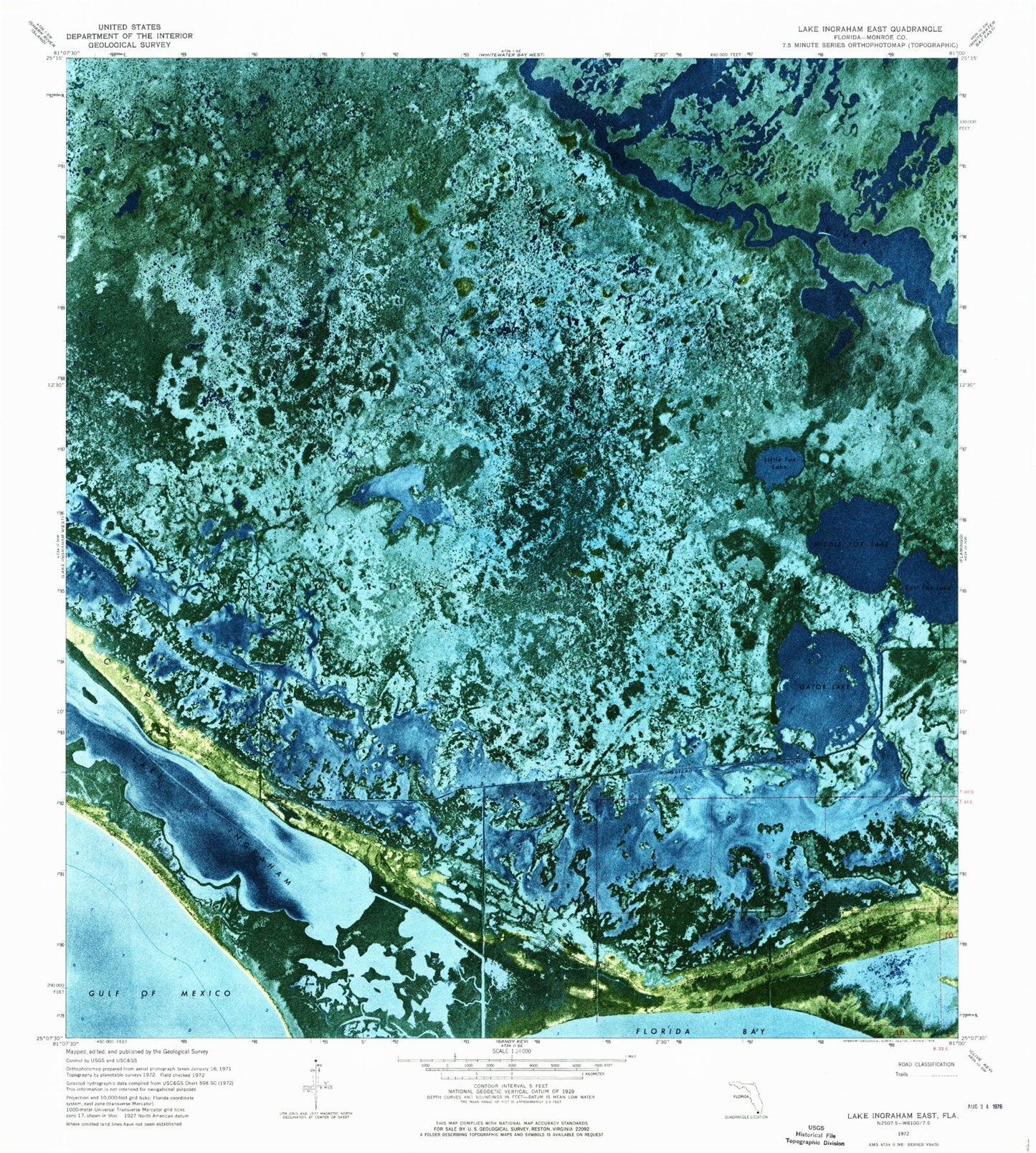
Historical USGS topographic quad map of Lake Ingraham East in the state of Florida. Map scale may vary for some years, but is generally around 1:24,000. Print size is approximately 24" x 27"
This quadrangle is in the following counties: Monroe.
The map contains contour lines, roads, rivers, towns, and lakes. Printed on high-quality waterproof paper with UV fade-resistant inks, and shipped rolled.
Contains the following named places: Cattail Lakes, East Cape Canal, East Fox Lake, Fox Lakes, Gator Lake, House Ditch, Little Fox Lake, Middle Fox Lake, Raulerson Prairie, Slagle Ditch