MyTopo
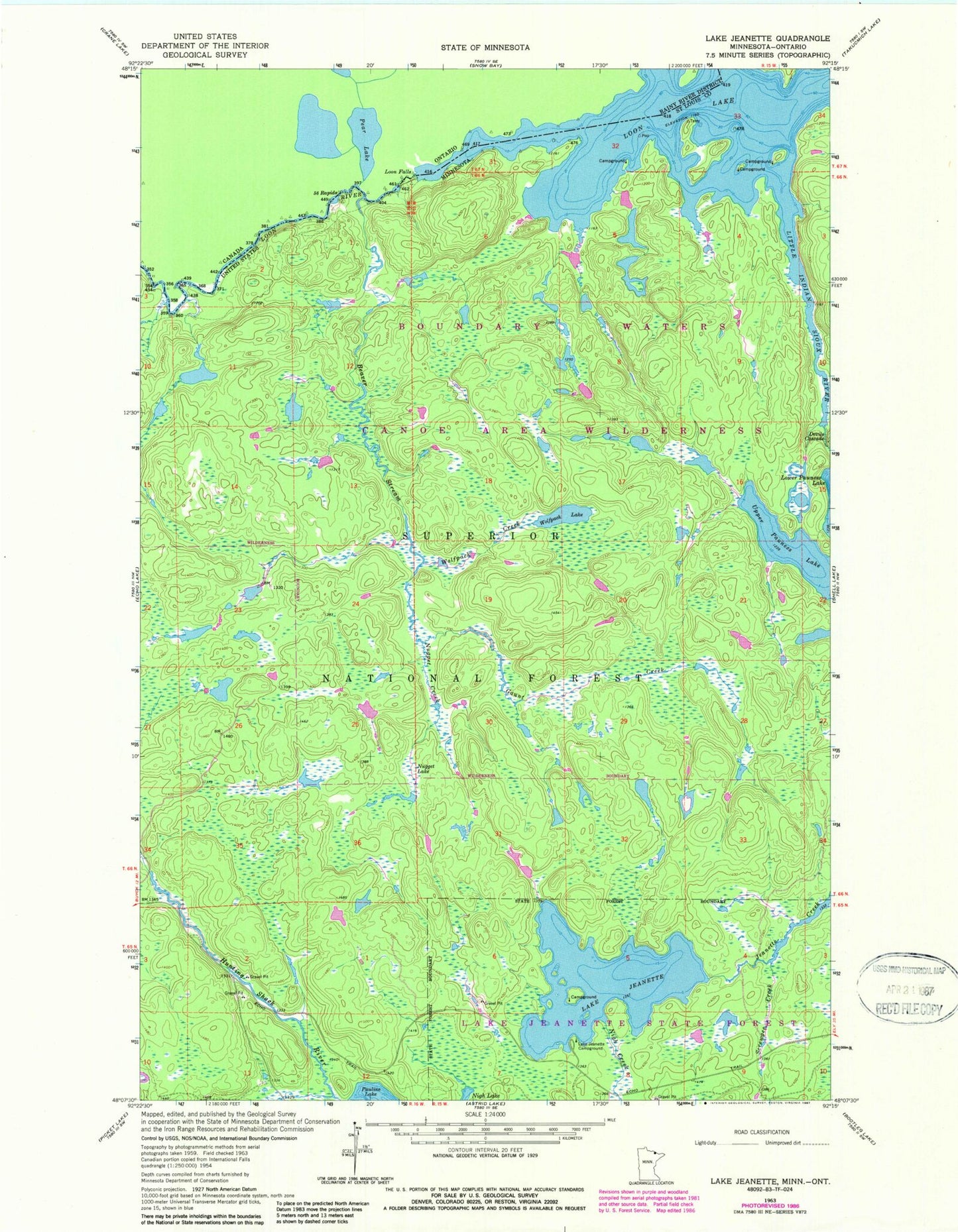
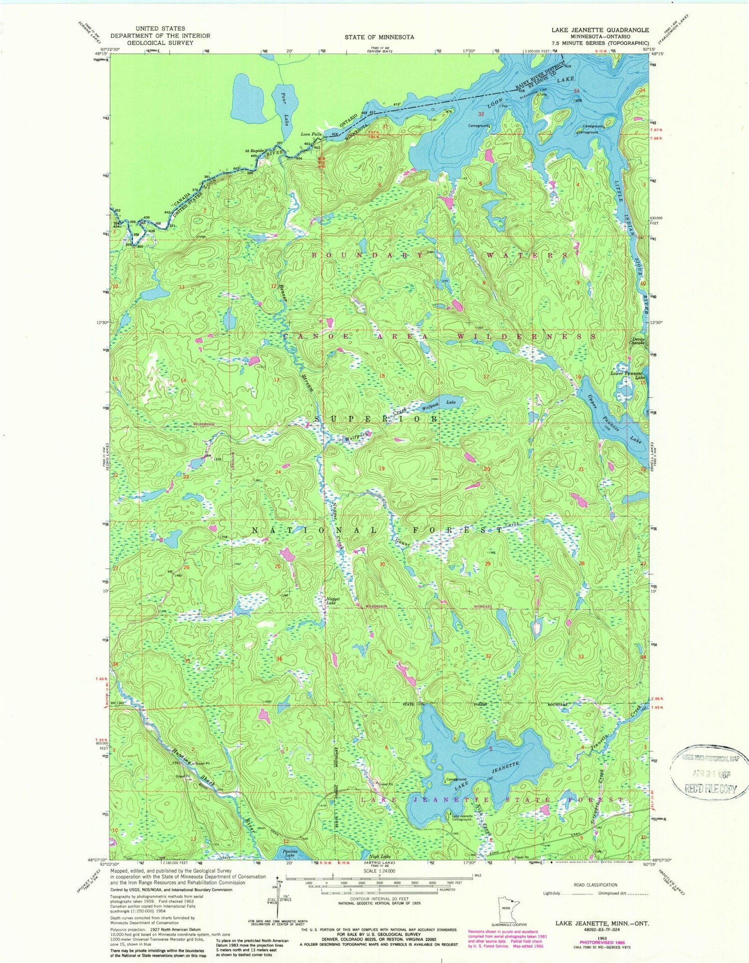
Classic USGS Lake Jeanette Minnesota 7.5'x7.5' Topo Map
Regular price
$16.95
Regular price
Sale price
$16.95
Unit price
per
Couldn't load pickup availability
Historical USGS topographic quad map of Lake Jeanette in the state of Minnesota. Map scale may vary for some years, but is generally around 1:24,000. Print size is approximately 24" x 27"
This quadrangle is in the following counties: St. Louis.
The map contains contour lines, roads, rivers, towns, and lakes. Printed on high-quality waterproof paper with UV fade-resistant inks, and shipped rolled.
Contains the following named places: Beaver Stream, Devils Cascade, Fiftysix Rapids, Gaunt Creek, Lake Jeanette, Lake Jeanette Campground, Little Indian Sioux River, Loon Falls, Loon Lake, Maude Creek, Nigh Creek, Nugget Creek, Nugget Lake, Screwgee Creek, Upper Pauness Lake, Wolfpack Creek, Wolfpack Lake