MyTopo
Classic USGS Lake Lawrence Washington 7.5'x7.5' Topo Map
Couldn't load pickup availability
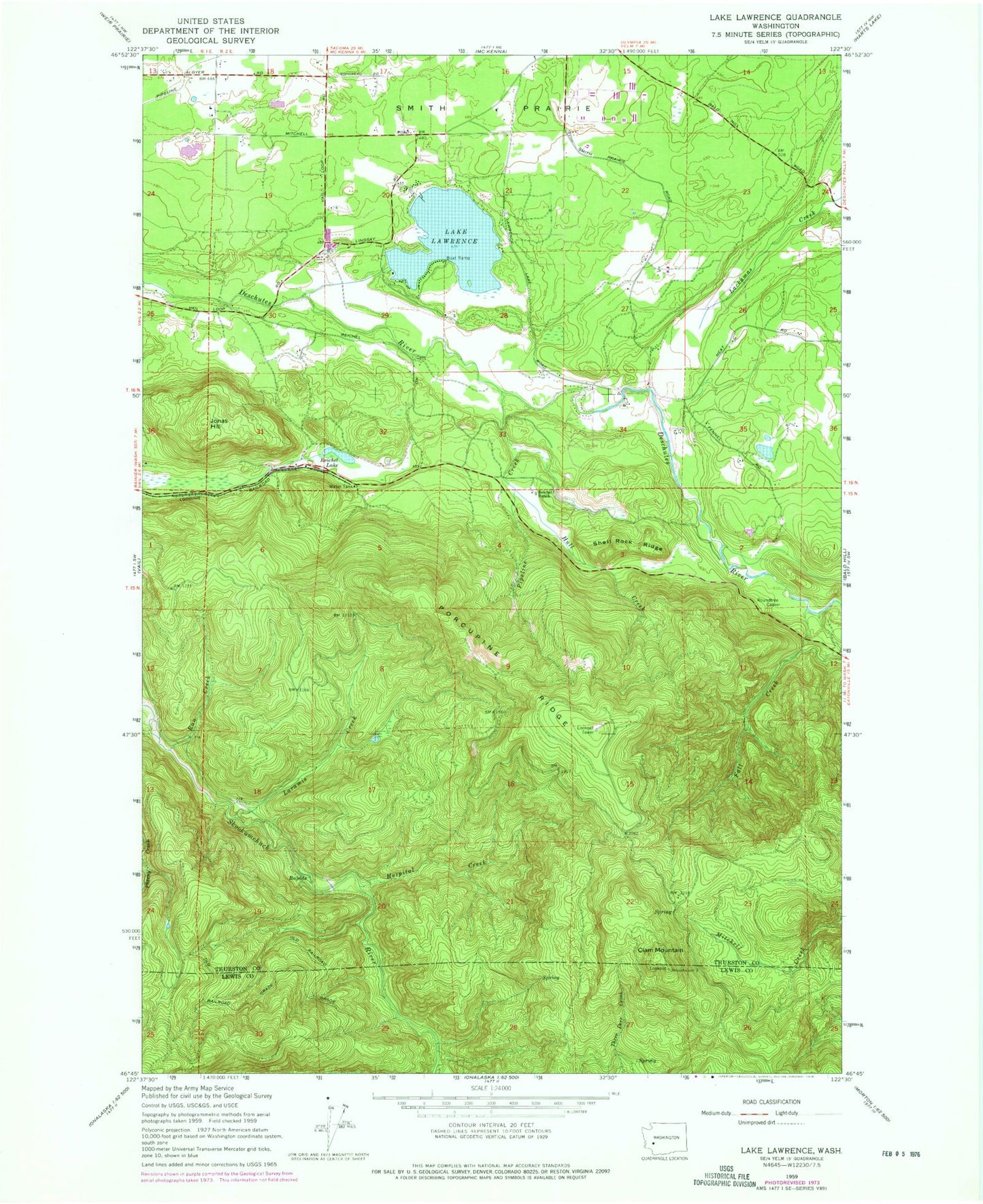
Historical USGS topographic quad map of Lake Lawrence in the state of Washington. Map scale may vary for some years, but is generally around 1:24,000. Print size is approximately 24" x 27"
This quadrangle is in the following counties: Lewis, Thurston.
The map contains contour lines, roads, rivers, towns, and lakes. Printed on high-quality waterproof paper with UV fade-resistant inks, and shipped rolled.
Contains the following named places: Clam Mountain, Cougar Mountain Airfield, Cougar Mountain Farm Dam, Fall Creek, Hospital Creek, Hull Creek, Jonas Hill, Lake Lawrence, Lake Lawrence Dam, Laramie Creek, Nelda Lake, Pipeline Creek, Porcupine Lookout, Porcupine Ridge, Prince Dam, Reichel Lake, Reichel Ranch, Roundtree Cabin, Run Creek, Shell Rock Ridge, Smith Prairie, Southeast Thurston Fire Authority Station 22 - Lake Lawrence