MyTopo
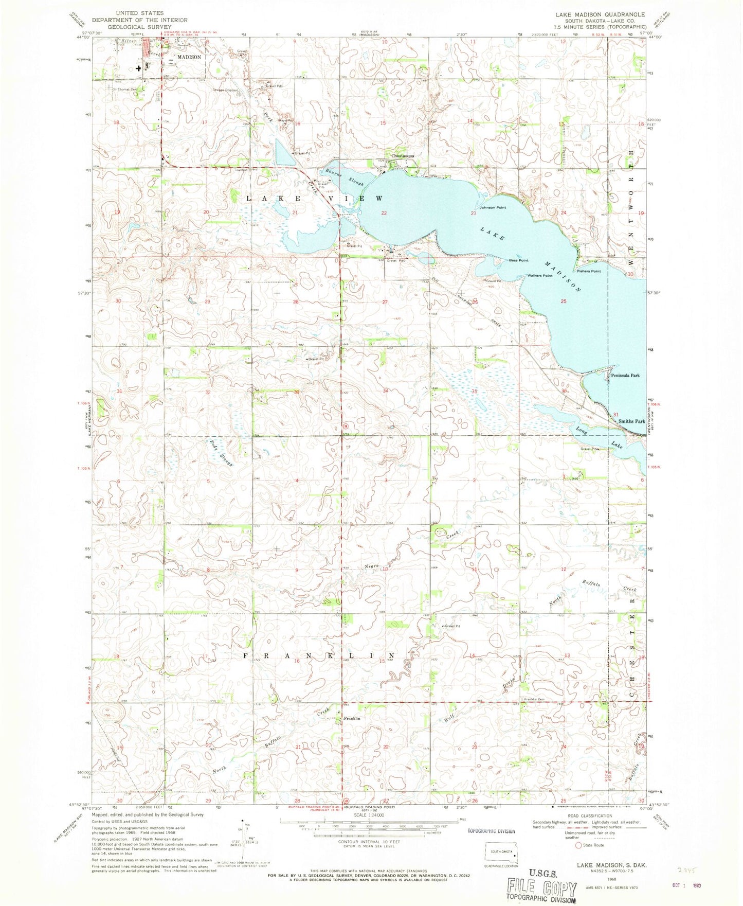
Classic USGS Lake Madison South Dakota 7.5'x7.5' Topo Map
Couldn't load pickup availability
Historical USGS topographic quad map of Lake Madison in the state of South Dakota. Map scale may vary for some years, but is generally around 1:24,000. Print size is approximately 24" x 27"
This quadrangle is in the following counties: Lake.
The map contains contour lines, roads, rivers, towns, and lakes. Printed on high-quality waterproof paper with UV fade-resistant inks, and shipped rolled.
Contains the following named places: Bess Point, Bourne Slough, Chautauqua, Chester, Fishers Point, Fods Slough, Franklin, Franklin Cemetery, Johnson Point, Lake Madison, Lake Madison Census Designated Place, Long Lake, Madison Community Hospital, Park Creek, Peninsula Park, Saint Thomas Cemetery, Silver Creek, Township of Antelope, Township of Franklin, Township of Lake View, Walkers Point, Wolf Drain