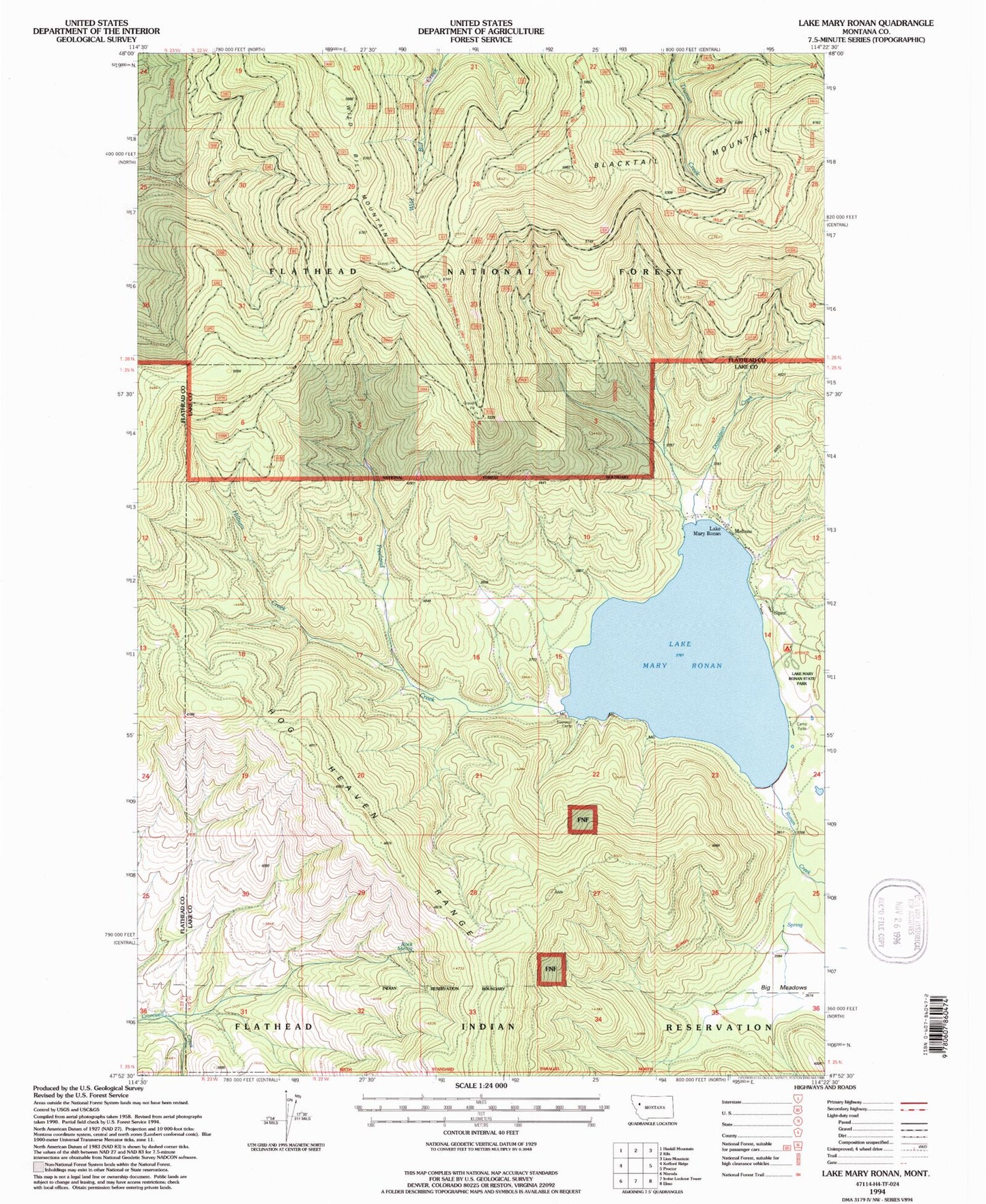
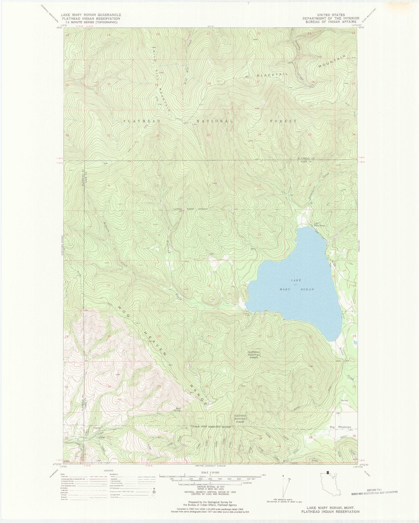
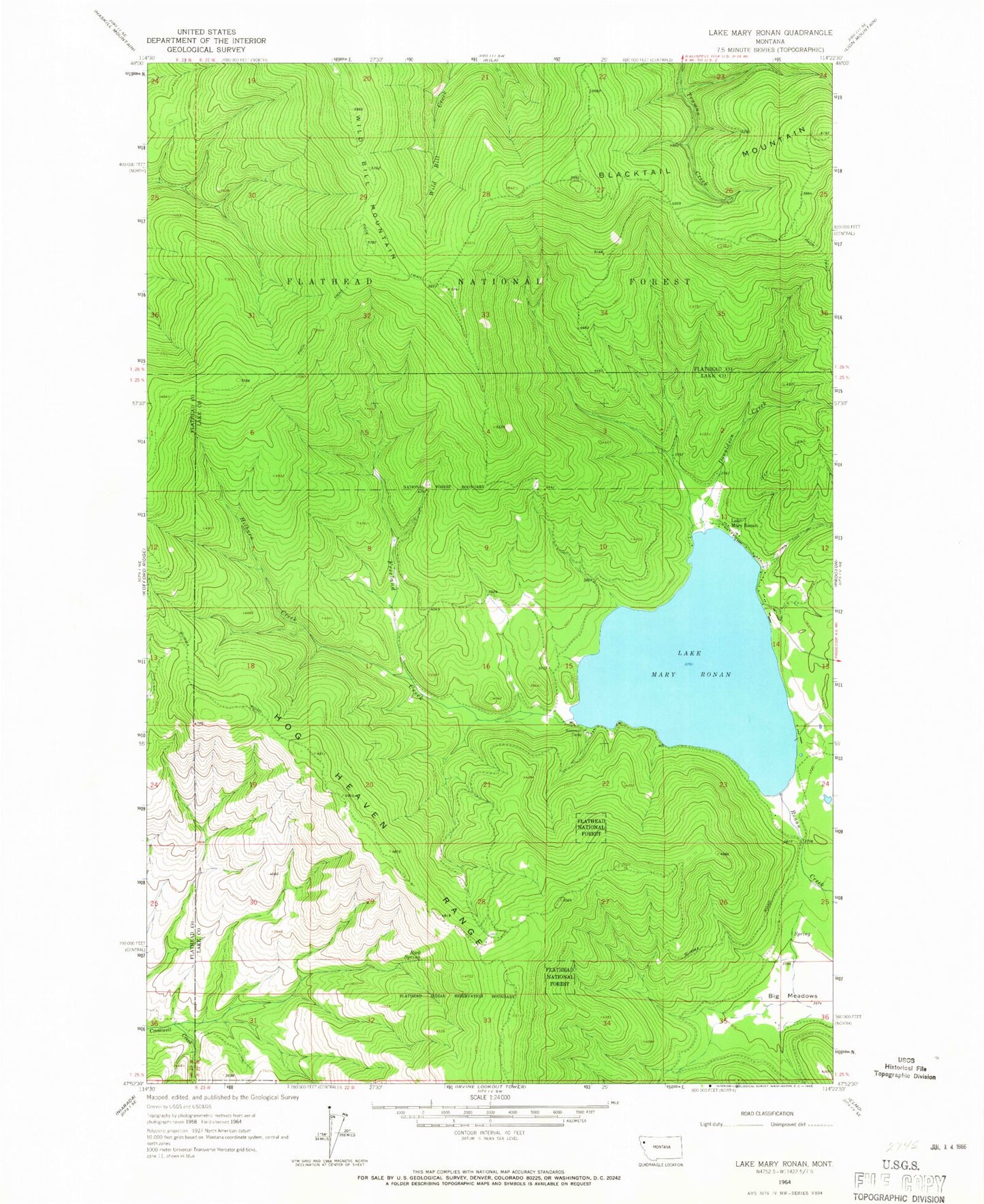
MyTopo
Classic USGS Lake Mary Ronan Montana 7.5'x7.5' Topo Map
Couldn't load pickup availability
Historical USGS topographic quad map of Lake Mary Ronan in the state of Montana. Map scale may vary for some years, but is generally around 1:24,000. Print size is approximately 24" x 27"
This quadrangle is in the following counties: Flathead, Lake.
The map contains contour lines, roads, rivers, towns, and lakes. Printed on high-quality waterproof paper with UV fade-resistant inks, and shipped rolled.
Contains the following named places: Big Meadows, Donaldson Creek, Freeland Creek, Hilburn Creek, Kootenai Camp, Lake Mary Ronan, Lake Mary Ronan Census Designated Place, Lake Mary Ronan Lodge Campground, Lake Mary Ronan State Park, Lake Mary Ronan State Park Campground, Lambeth Campground, Meltons, Mountain Meadows Resort and Campground, Sipes