MyTopo
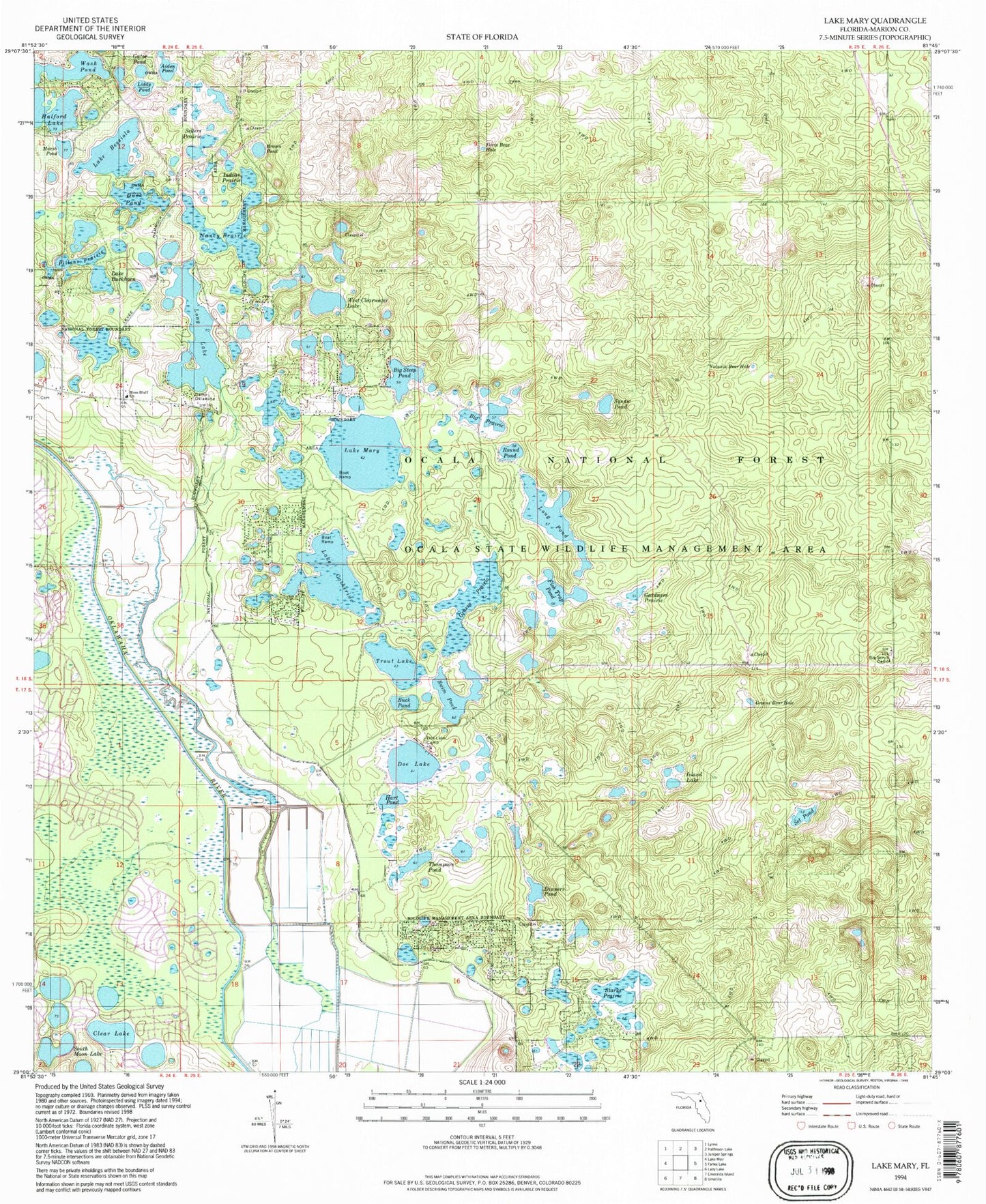
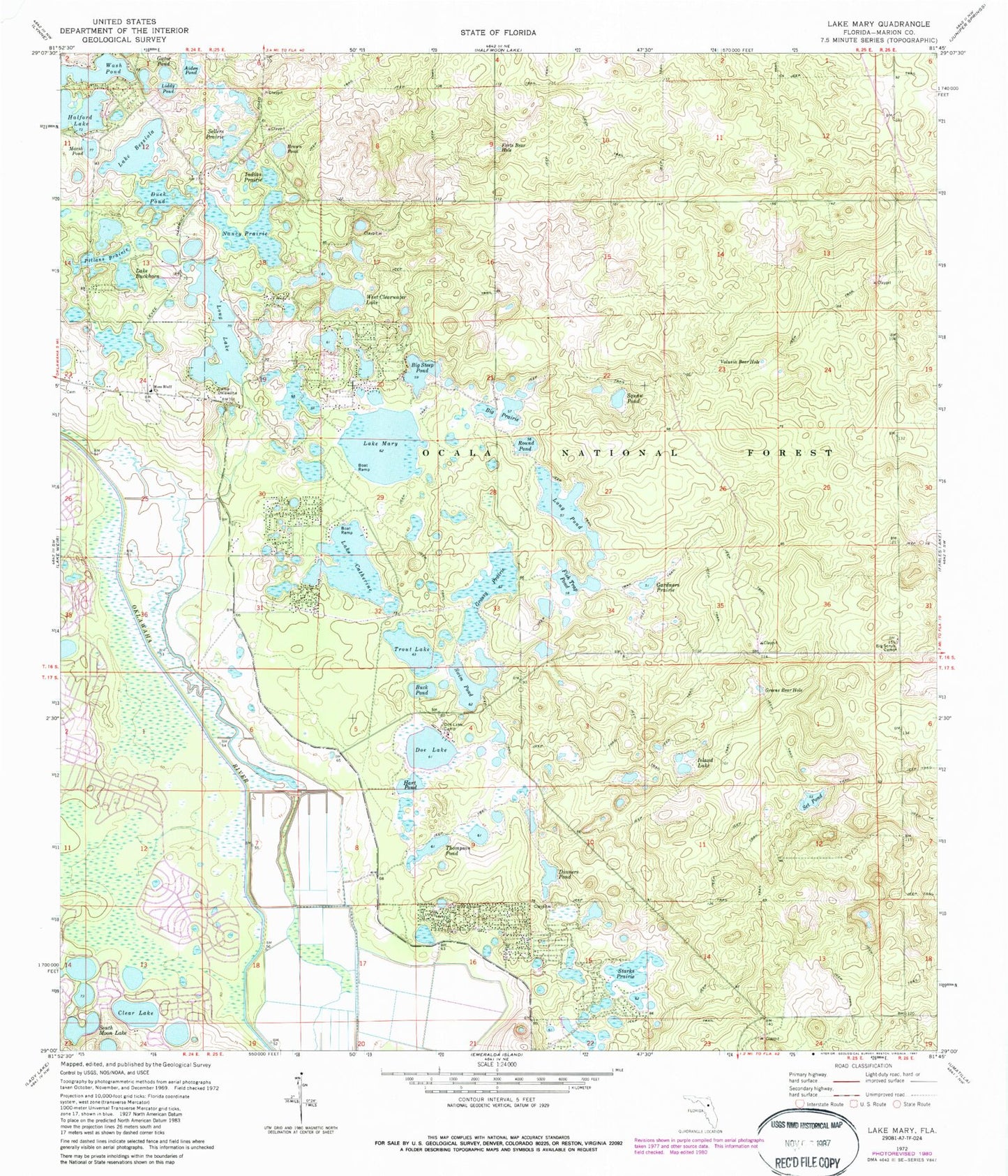
Classic USGS Lake Mary Florida 7.5'x7.5' Topo Map
Couldn't load pickup availability
Historical USGS topographic quad map of Lake Mary in the state of Florida. Typical map scale is 1:24,000, but may vary for certain years, if available. Print size: 24" x 27"
This quadrangle is in the following counties: Marion.
The map contains contour lines, roads, rivers, towns, and lakes. Printed on high-quality waterproof paper with UV fade-resistant inks, and shipped rolled.
Contains the following named places: Starks Prairie, Aiden Pond, Lake Bessiola, Big Prairie, Big Scrub Camp, Big Steep Pond, Brown Pond, Buck Pond, Lake Buckhorn, Camp Oklawaha, Lake Catherine, Clear Lake, Dinners Pond, Doe Lake, Doe Lake Camp, Duck Pond, Forts Bear Hole, Fish Trap Pond, Gardners Prairie, Gator Pond, Grassy Prairie, Greens Bear Hole, Hart Pond, Indian Prairie, Island Lake, Long Lake, Long Pond, Marsh Pond, Lake Mary, Moss Bluff Church, Nancy Prairie, Pillans Prairie, Round Pond, Sellers Prairie, Set Pond, South Moon Lake, Squaw Pond, Swim Pond, Thompson Pond, Trout Lake, Volusia Bear Hole, Wash Pond, West Clearwater Lake, Big Scrub, Forest Lakes Park, Lake Catherine Campground, Doe Lake Campground, Doe Lake Boat Ramp, Prairie Trail, Liddy Pond, Solid Rock Bible Church


