MyTopo
Classic USGS Lake Mason NE Montana 7.5'x7.5' Topo Map
Regular price
$16.95
Regular price
Sale price
$16.95
Unit price
per
Couldn't load pickup availability
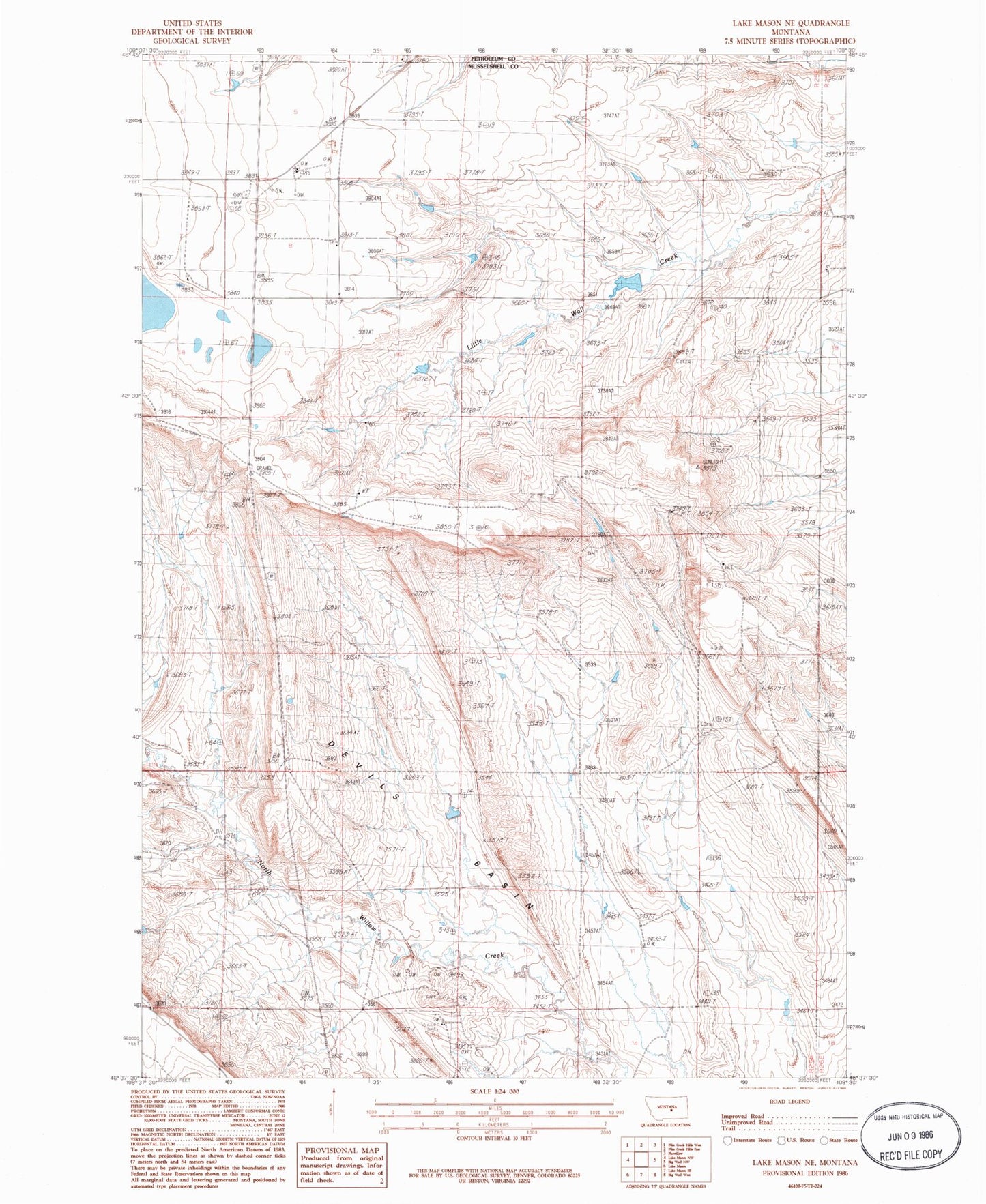
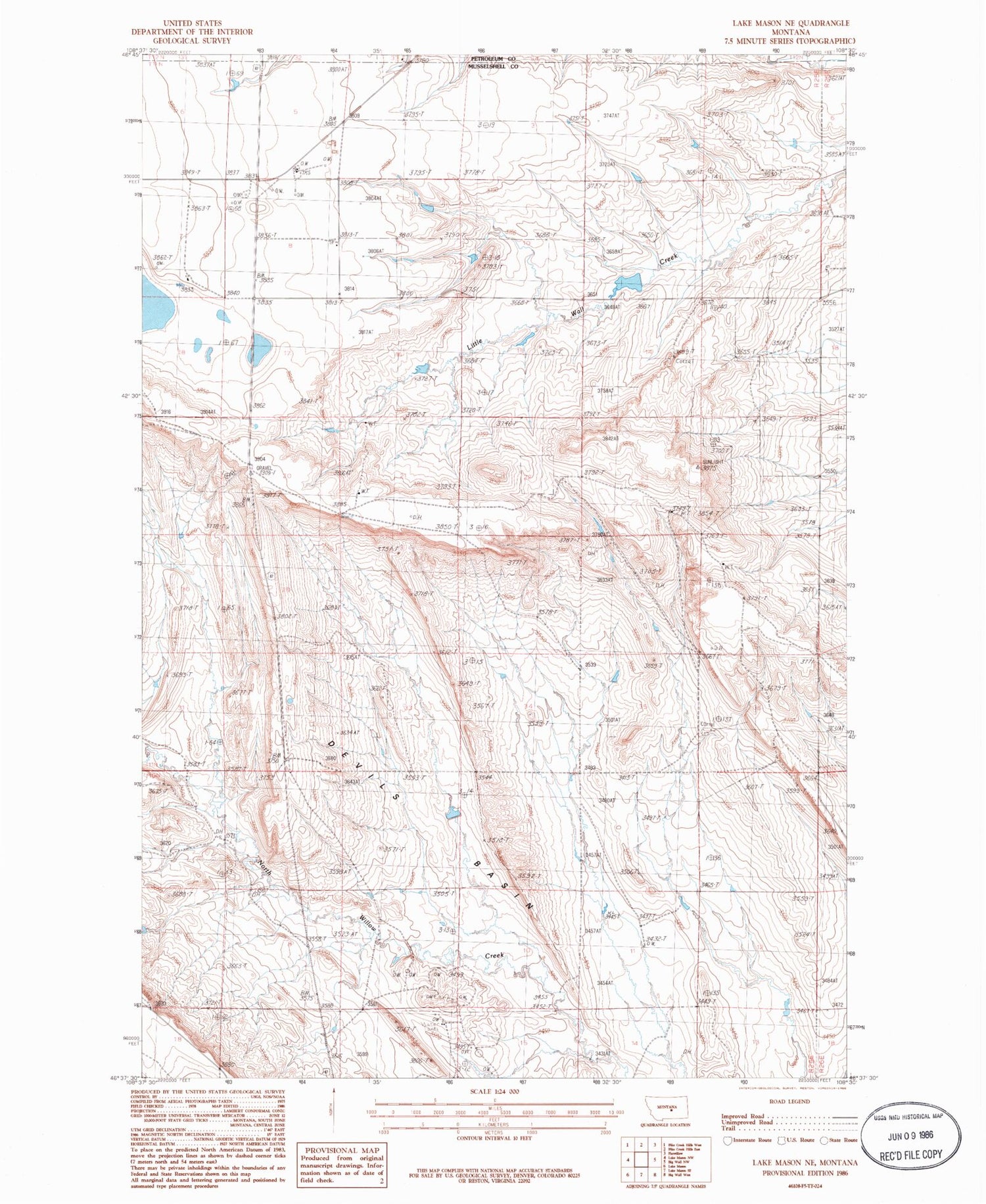
Historical USGS topographic quad map of Lake Mason NE in the state of Montana. Map scale may vary for some years, but is generally around 1:24,000. Print size is approximately 24" x 27"
This quadrangle is in the following counties: Musselshell, Petroleum.
The map contains contour lines, roads, rivers, towns, and lakes. Printed on high-quality waterproof paper with UV fade-resistant inks, and shipped rolled.
Contains the following named places: 10N25E12DBA_01 Well, 11N25E14C___01 Well, 11N25E21CC__01 Well, 11N25E34D___01 Well, Devils Basin, Ivy Number 3 Dam