MyTopo
Classic USGS Lake Mason SE Montana 7.5'x7.5' Topo Map
Couldn't load pickup availability
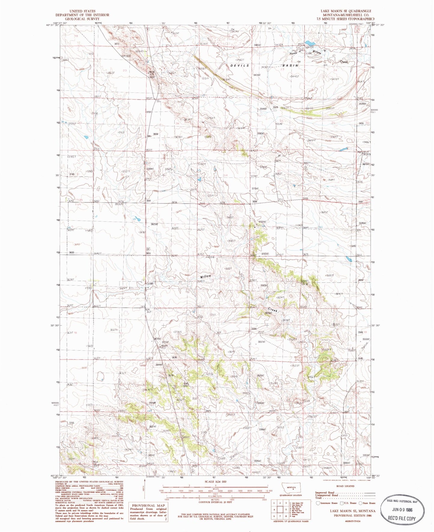
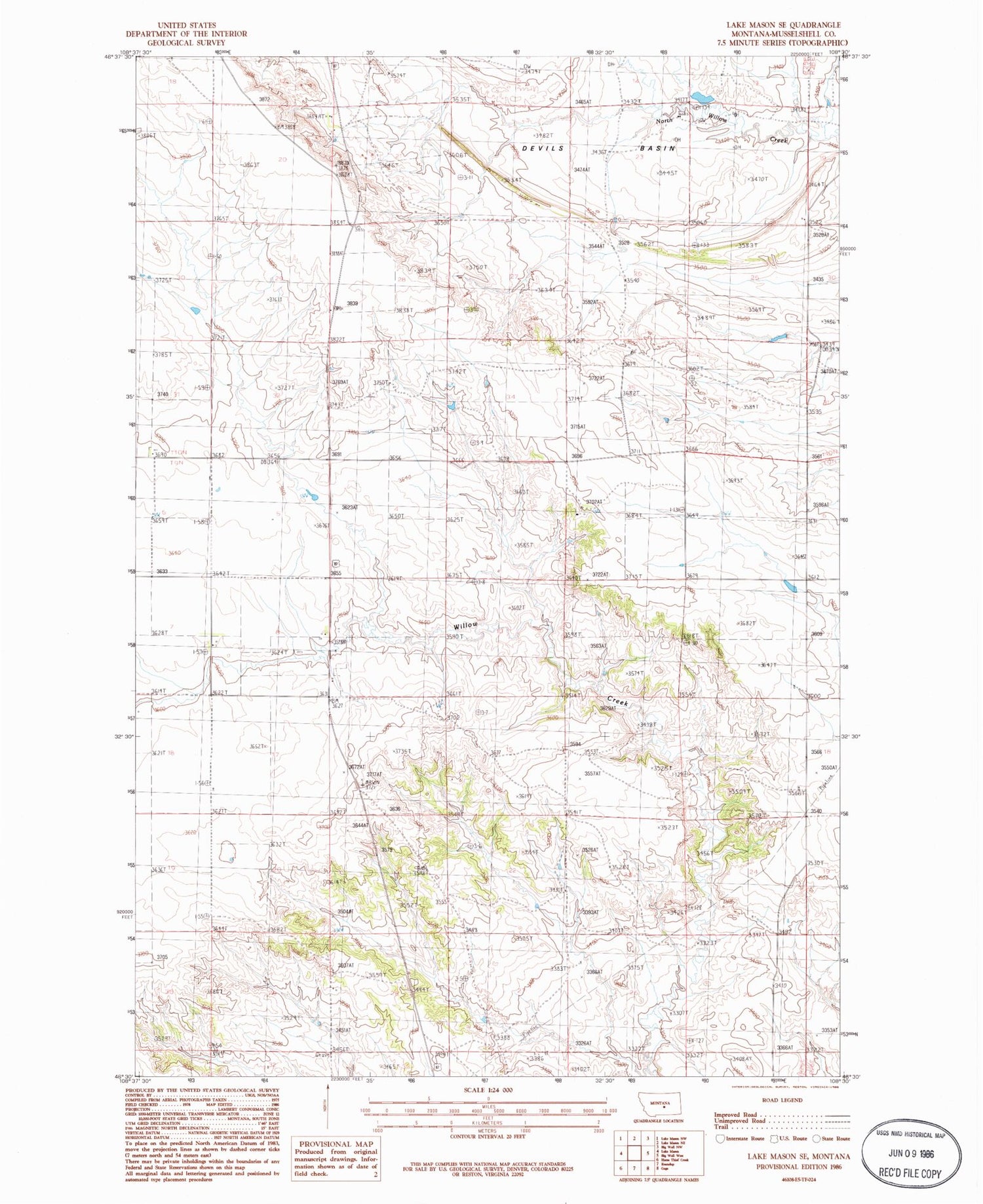
Historical USGS topographic quad map of Lake Mason SE in the state of Montana. Map scale may vary for some years, but is generally around 1:24,000. Print size is approximately 24" x 27"
This quadrangle is in the following counties: Musselshell.
The map contains contour lines, roads, rivers, towns, and lakes. Printed on high-quality waterproof paper with UV fade-resistant inks, and shipped rolled.
Contains the following named places: 07N26E06CBDB01 Well, 09N25E01BCD_01 Well, 09N25E06ACCC01 Well, 09N25E17BCBC01 Well, 09N25E19A___01 Well, 09N25E21B___01 Well, 09N25E22DACC01 Well, 09N25E25BBAC01 Well, 09N25E26DBAD01 Well, 09N25E28ADD_01 Well, Oset Number 1 Dam, Roundup Division, Sheepland Dam, Skunk Retention Dam