MyTopo
Classic USGS Lake Mason Montana 7.5'x7.5' Topo Map
Regular price
$16.95
Regular price
Sale price
$16.95
Unit price
per
Couldn't load pickup availability
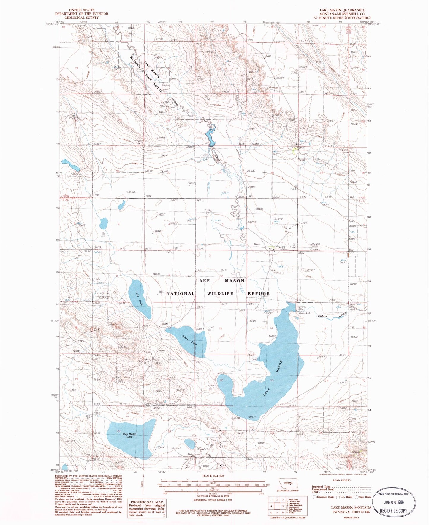
Historical USGS topographic quad map of Lake Mason in the state of Montana. Map scale may vary for some years, but is generally around 1:24,000. Print size is approximately 24" x 27"
This quadrangle is in the following counties: Musselshell.
The map contains contour lines, roads, rivers, towns, and lakes. Printed on high-quality waterproof paper with UV fade-resistant inks, and shipped rolled.
Contains the following named places: 09N24E08BBBD01 Well, 09N25E06CCCA01 Well, 10N24E29D___01 Well, 10N24E32D___01 Well, Ernie Number 1 Dam, Lake Mason, Lake Mason National Wildlife Refuge Dam, Lake Thom, May Martin Lake, Talbot Lake