MyTopo
Classic USGS Lake McAlester Oklahoma 7.5'x7.5' Topo Map
Couldn't load pickup availability
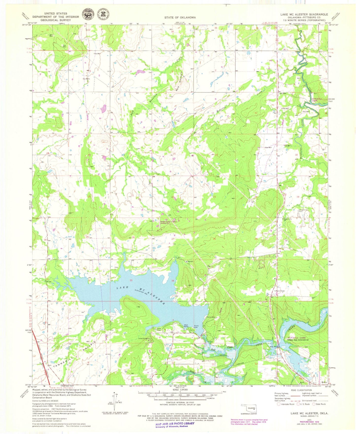
Historical USGS topographic quad map of Lake McAlester in the state of Oklahoma. Map scale may vary for some years, but is generally around 1:24,000. Print size is approximately 24" x 27"
This quadrangle is in the following counties: Pittsburg.
The map contains contour lines, roads, rivers, towns, and lakes. Printed on high-quality waterproof paper with UV fade-resistant inks, and shipped rolled.
Contains the following named places: Bald Mountain, Bull Creek, Camp Craig, Camp Hudgens, Caston Mountain Creek Site 4 Dam, Caston Mountain Creek Site 4 Reservoir, Lake McAlester, Lake Mcalester Dam, Medicine Creek, Mekko, Mekko Church, Mills Flying M Ranch Airport, North Central Pittsburg Division, Oknoname 121011 Dam, Oknoname 121011 Reservoir, Oknoname 121020 Dam, Oknoname 121020 Reservoir, Shady Grove Cemetery, Shady Grove Church, Shady Grove Volunteer Fire Department, Tannehill Prairie, Tannehill Volunteer Fire Department Substation 1, Tannehill Volunteer Fire Department Substation 2, Wildhorse Creek