MyTopo
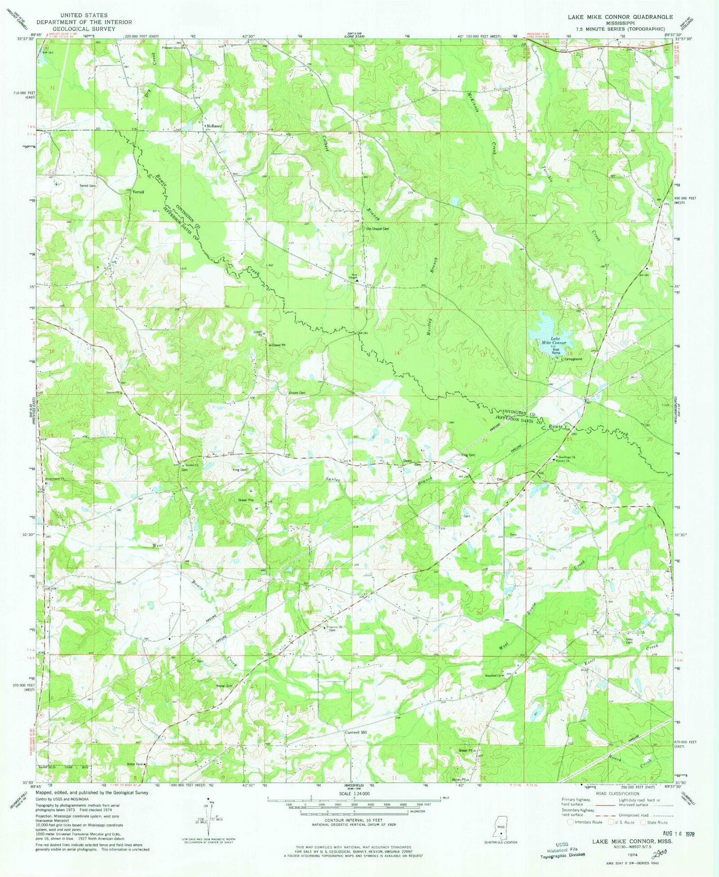
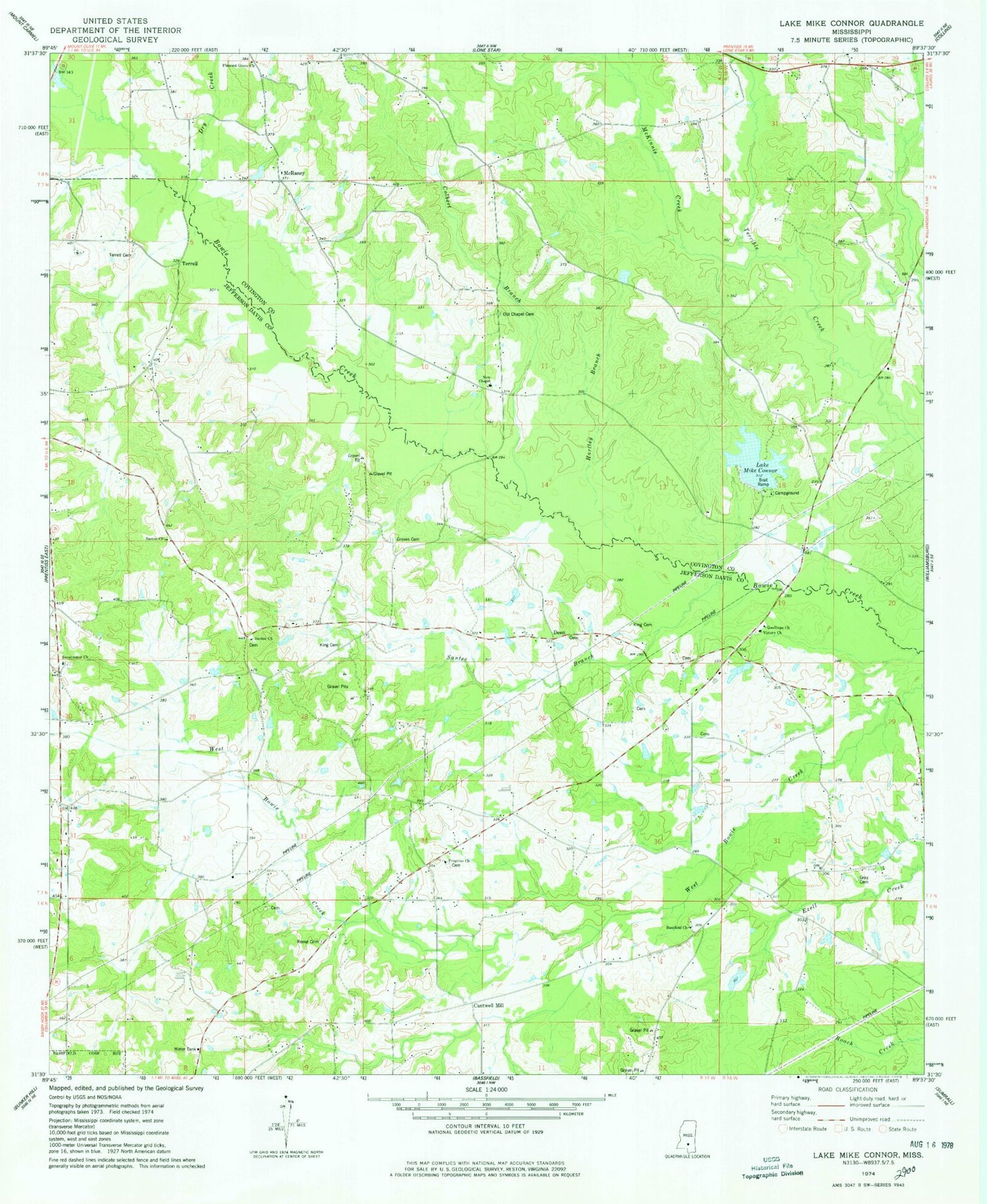
Classic USGS Lake Mike Connor Mississippi 7.5'x7.5' Topo Map
Couldn't load pickup availability
Historical USGS topographic quad map of Lake Mike Connor in the state of Mississippi. Map scale may vary for some years, but is generally around 1:24,000. Print size is approximately 24" x 27"
This quadrangle is in the following counties: Covington, Jefferson Davis.
The map contains contour lines, roads, rivers, towns, and lakes. Printed on high-quality waterproof paper with UV fade-resistant inks, and shipped rolled.
Contains the following named places: Barwick Cemetery, Bassfield Church, Bethel School, Black Jack, Black Jack School, Booth Cemetery, Bowie Creek Cemetery, Cantwell Mill, Chance Cemetery, Chapel Church, Chapel School, China Mission Church, Colbert Branch, Connely Davis Lake Dam, Crossroad Church, Deen, Deen Cemetery, Deen Store, Double Churches, Double Churches Cemetery, Dry Creek, Good Hope School, Goodhope Church, Graves Cemetery, Gray Cemetery, Gum Branch, Harper Cemetery, Harper School, Hartley Branch, Hathorn Cemetery, Hawthorn Cemetery, King Cemetery, King School, Lake Mike Connor, Loflin-Applewhite Cemetery, McKinnis Creek, McRaney, Methodist-Protestant Campgrounds, Mike Connor Lake Dam, New Chapel United Pentecostal Church, Old Chapel Cemetery, Pleasant Grove Congregational Methodist Church, Price School, Progress Cemetery, Progress Missionary Baptist Church, Reese Cemetery, Santee, Santee Baptist Church, Santee Branch, Santee Cemetery, Santee Church, Santee School, Saulters-McRaney Cemetery, Strahan, Strahan Mill, Sweet Water Cemetery, Sweetwater Church, Terrell, Terrell Cemetery, Turnage Cemetery, Victory Cemetery, Victory Church, Watsons Mill Pond, Whitehead Cemetery, Willie Fortenberry Lake Dam, Wilson Cemetery


