
MyTopo
Classic USGS Lake Miltona East Minnesota 7.5'x7.5' Topo Map
Couldn't load pickup availability
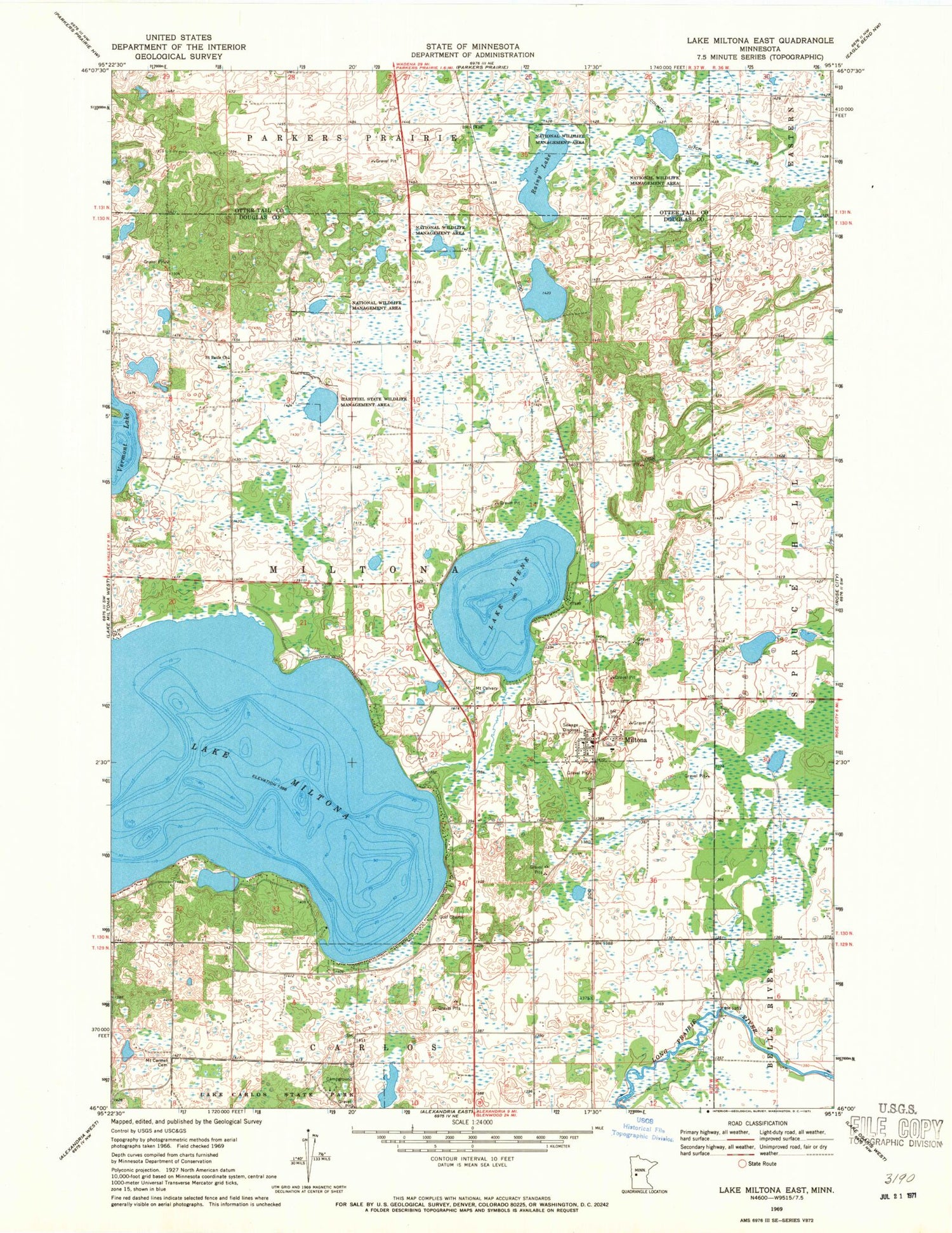
Historical USGS topographic quad map of Lake Miltona East in the state of Minnesota. Map scale may vary for some years, but is generally around 1:24,000. Print size is approximately 24" x 27"
This quadrangle is in the following counties: Douglas, Otter Tail.
The map contains contour lines, roads, rivers, towns, and lakes. Printed on high-quality waterproof paper with UV fade-resistant inks, and shipped rolled.
Contains the following named places: City of Miltona, County Ditch Number Twentyfour, Esther Lutheran Parish, Hartfiel State Wildlife Management Area, Lake Irene, Lake Miltona, Lake Miltona Golf Club, Miltona, Miltona Elementary School, Miltona Fire Department, Miltona Post Office, Mount Calvary Cemetery, Mount Calvary Lutheran Church, Mount Carmel Cemetery, Rainy Lake, Saint Paul's Cemetery, Saint Pauls Church, Township of Miltona


