
MyTopo
Classic USGS Lake Miltona West Minnesota 7.5'x7.5' Topo Map
Couldn't load pickup availability
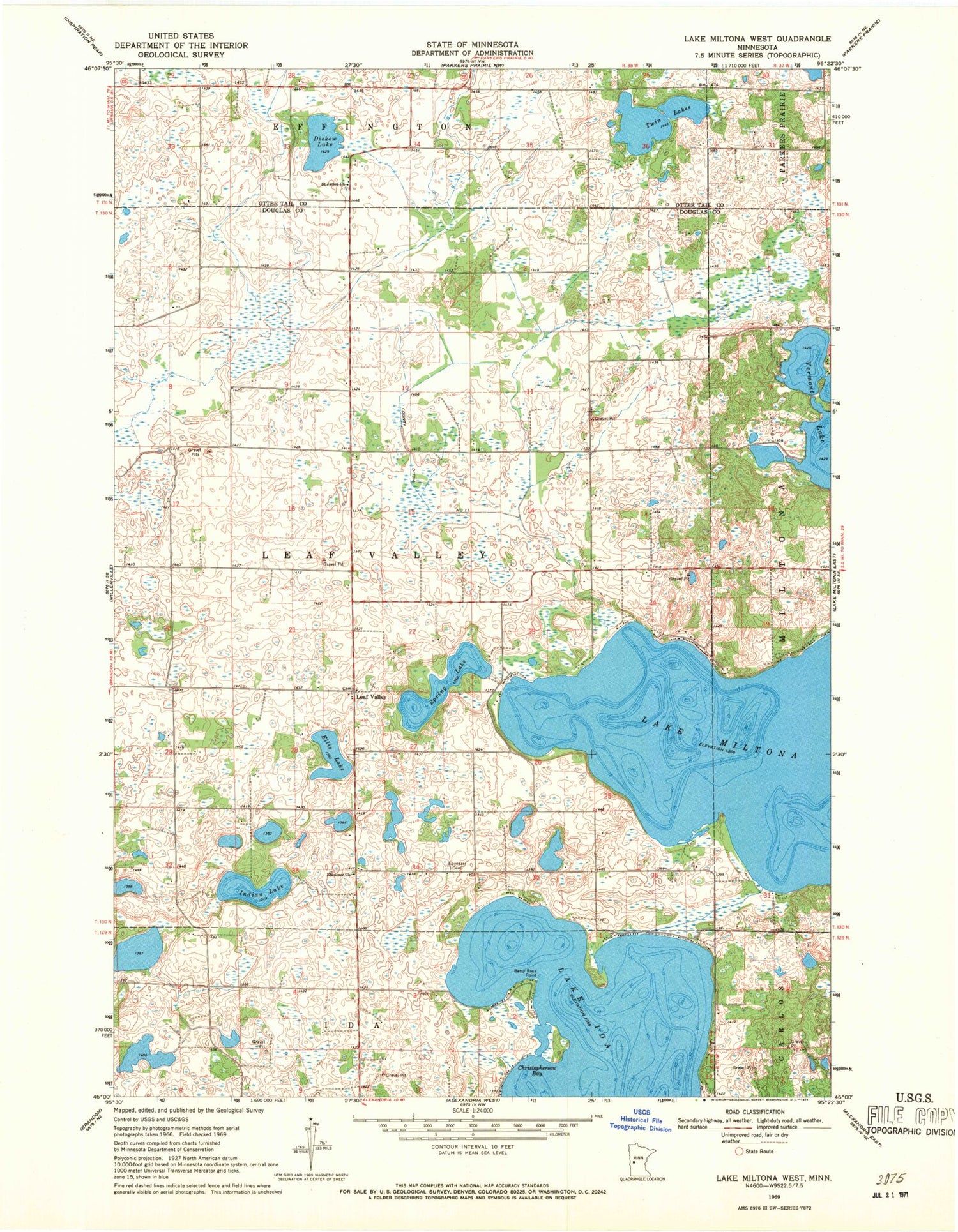
Historical USGS topographic quad map of Lake Miltona West in the state of Minnesota. Map scale may vary for some years, but is generally around 1:24,000. Print size is approximately 24" x 27"
This quadrangle is in the following counties: Douglas, Otter Tail.
The map contains contour lines, roads, rivers, towns, and lakes. Printed on high-quality waterproof paper with UV fade-resistant inks, and shipped rolled.
Contains the following named places: Aaron Lake, Aaron Lake Dam, Betsy Ross Point, Christopherson Bay, County Ditch Number Eleven, Diekow Lake, Ebenezer Cemetery, Ebenezer Church, Ellis Lake, Indian Lake, Leaf Valley, Leaf Valley Post Office, Leaf Valley Township Fire Department, Lucky Acres Campground, Miltona Lake, Miltona Lake Dam, Private Lake, Saint James Cemetery, Saint James Church, Spring Lake, Township of Leaf Valley, Twin Lakes, Vermont Lake


