MyTopo
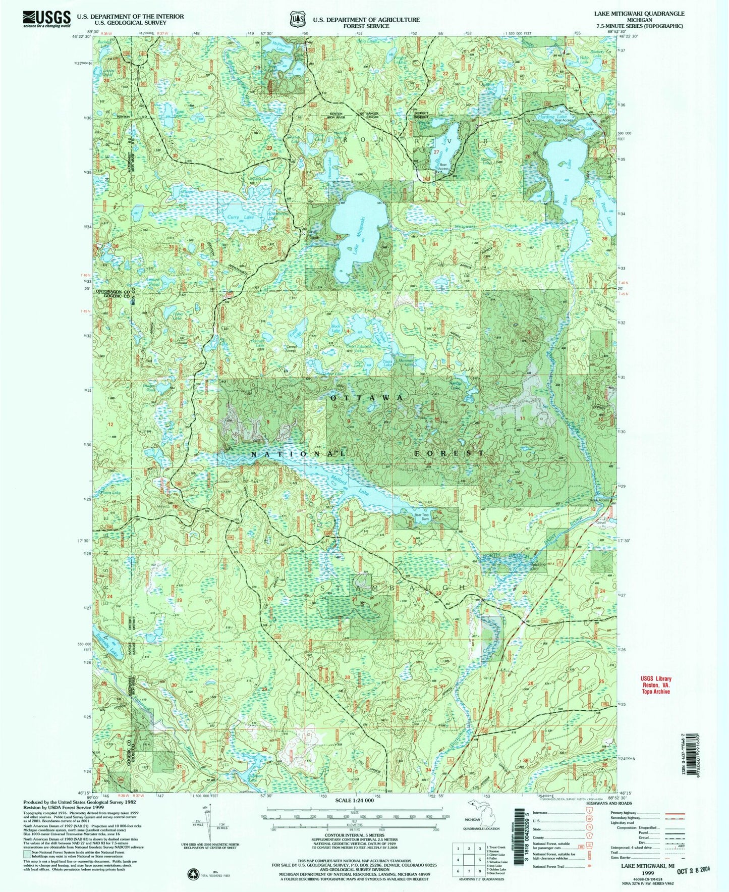
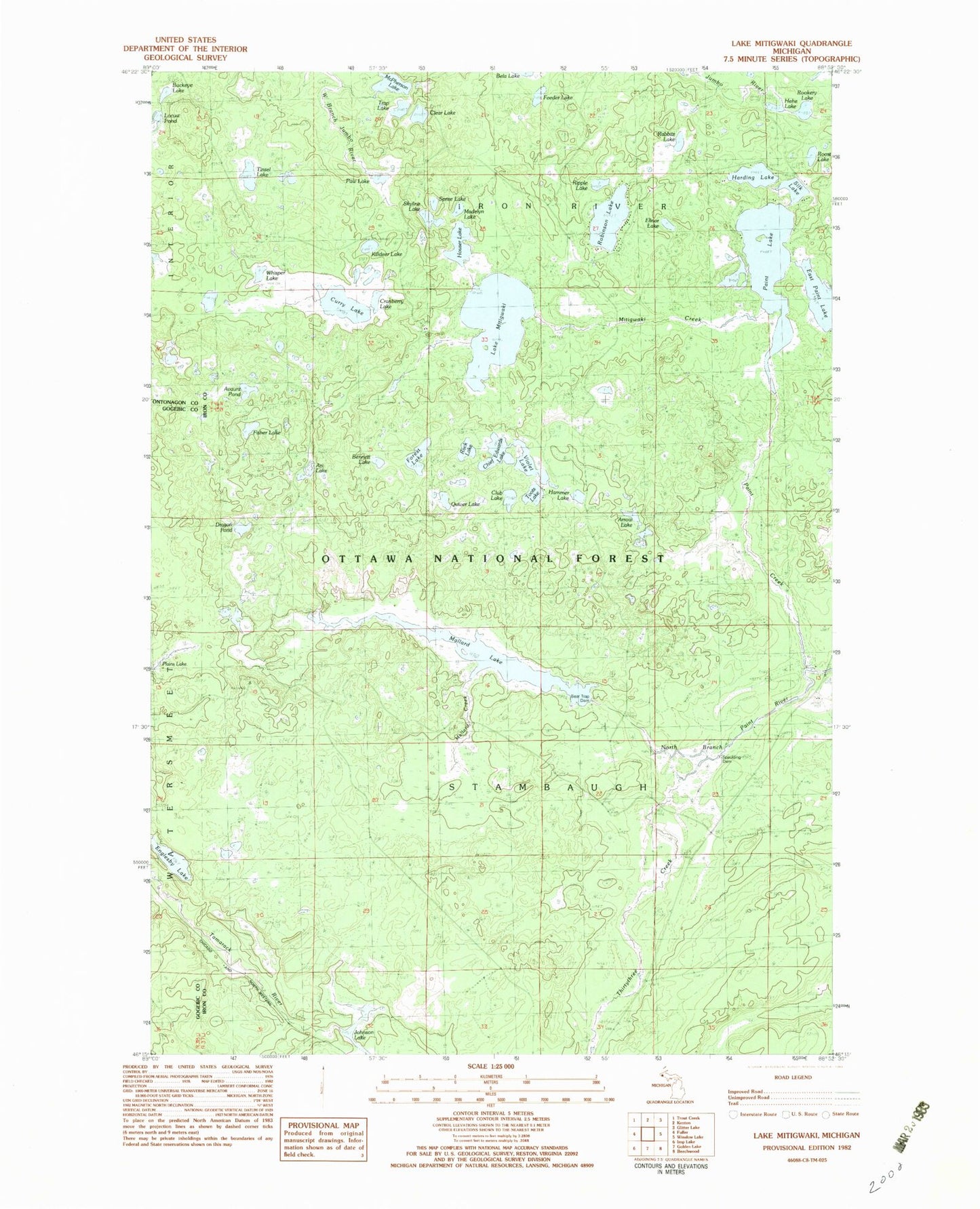
Classic USGS Lake Mitigwaki Michigan 7.5'x7.5' Topo Map
Couldn't load pickup availability
Historical USGS topographic quad map of Lake Mitigwaki in the state of Michigan. Map scale may vary for some years, but is generally around 1:24,000. Print size is approximately 24" x 27"
This quadrangle is in the following counties: Gogebic, Iron, Ontonagon.
The map contains contour lines, roads, rivers, towns, and lakes. Printed on high-quality waterproof paper with UV fade-resistant inks, and shipped rolled.
Contains the following named places: Arc Lake, Arrow Lake, Avant Pond, Avaunt Pond, Bear Trap Dam, Bennett Lake, Buckeye Lake, Chief Edwards Lake, Clear Lake, Club Lake, Cranberry Lake, Curry Lake, Dragon Pond, East Paint Lake, Elinor Lake, Englesby Lake, Feeder Lake, Fisher Lake, Forest Lake, Hammer Lake, Harding Lake, Hehe Lake, Houser Lake, Johnson Lake, Killdeer Lake, Lake Mitigwaki, Madelyn Lake, Mallard Creek, Mallard Lake, Mallard Lake Lookout Tower, McPherson Lake, Mitigwaki Creek, Paint Creek, Paint Lake, Paw Lake, Plains Lake, Quiver Lake, Rabbitz Lake, Ripple Lake, Robinson Lake, Rock Lake, Rookery Lake, Roost Lake, Silk Lake, Skyline Lake, Spaulding Dam, Spree Lake, Tepee Creek, Thirtythree Creek, Tinsel Lake, Toots Lake, Trap Lake, Violet Lake, Whisper Lake


