
MyTopo
Classic USGS Lake Mount Sterling Illinois 7.5'x7.5' Topo Map
Couldn't load pickup availability
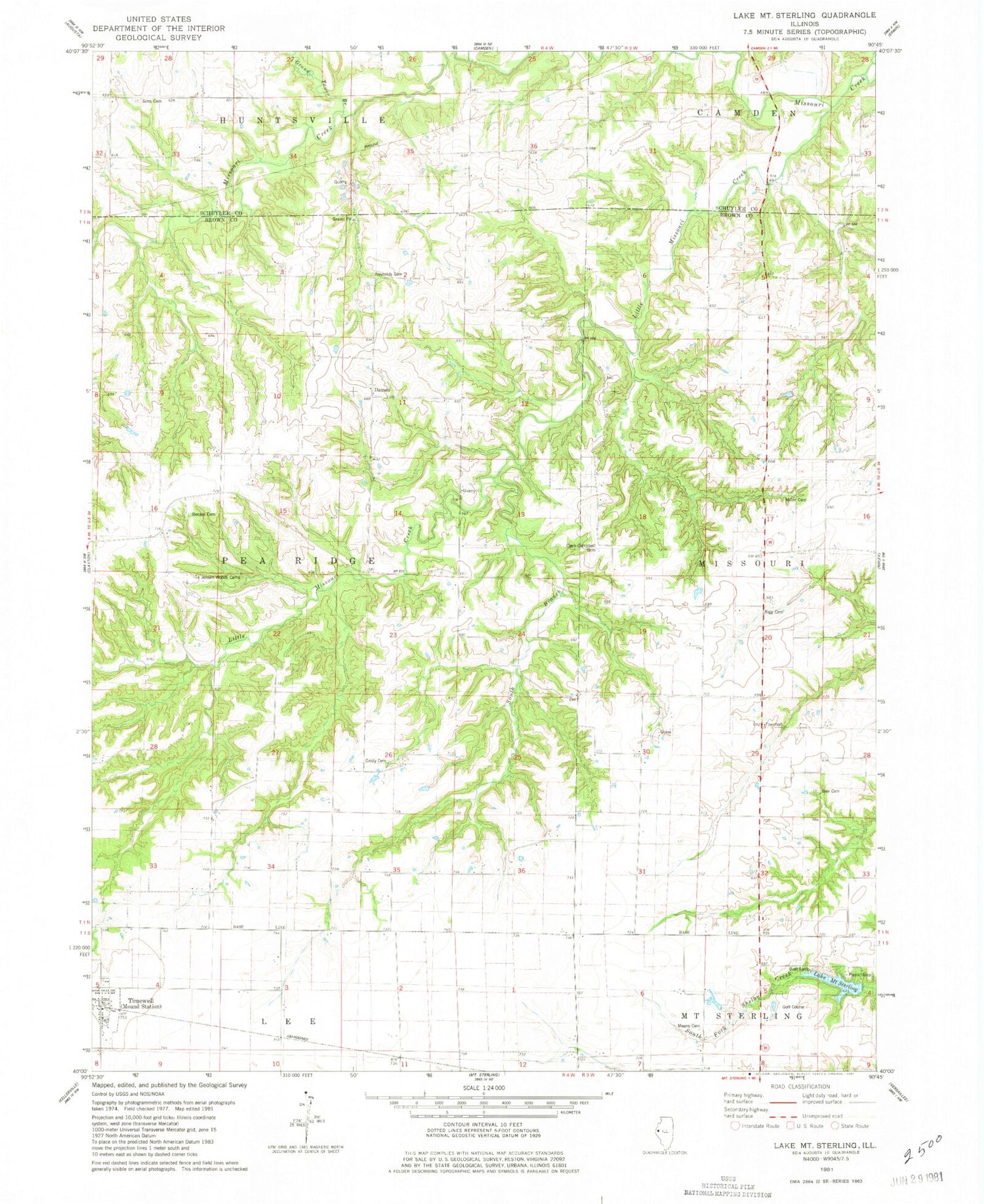
Historical USGS topographic quad map of Lake Mount Sterling in the state of Illinois. Map scale may vary for some years, but is generally around 1:24,000. Print size is approximately 24" x 27"
This quadrangle is in the following counties: Brown, Schuyler.
The map contains contour lines, roads, rivers, towns, and lakes. Printed on high-quality waterproof paper with UV fade-resistant inks, and shipped rolled.
Contains the following named places: Bates Mine, Becam Cemetery, Bell Keith Cemetery, Bell School, Clark Campbell Cemetery, Clark School, Cruser Mine, Damon, Ebenezer School, Glasgow Farm Cemetery, Grand Tower Branch, Gristy Cemetery, Ireland School, Jensen Woods Camp, Kinney Cemetery, Lake Mount Sterling, Lake Mount Sterling Dam, Little Missouri Creek, Means Cemetery, Miller Land Cemetery, Missouri Townhall, New Salem Church, Olive School, Pell School, Pit 10 Cedar Creek Mine, Pit 11 Cedar Creek Mine, Pit 12 Cedar Creek Mine, Pit 13 Cedar Creek Mine, Pit 14 Cedar Creek Mine, Pit 15 Cedar Creek Mine, Pit 16 Cedar Creek Mine, Pit 9 Cedar Creek Mine, Quinlan School, Reynolds Cemetery, Rigg Cemetery, Simms Cemetery, South Branch, Sunny Hill School, Timewell, Timewell Post Office, Township of Pea Ridge, Village of Mound Station, Washington School, ZIP Code: 62375


